







Toutes les enchères / Livres, Cartographie & Manuscrits / World - All continents; Ptolemy

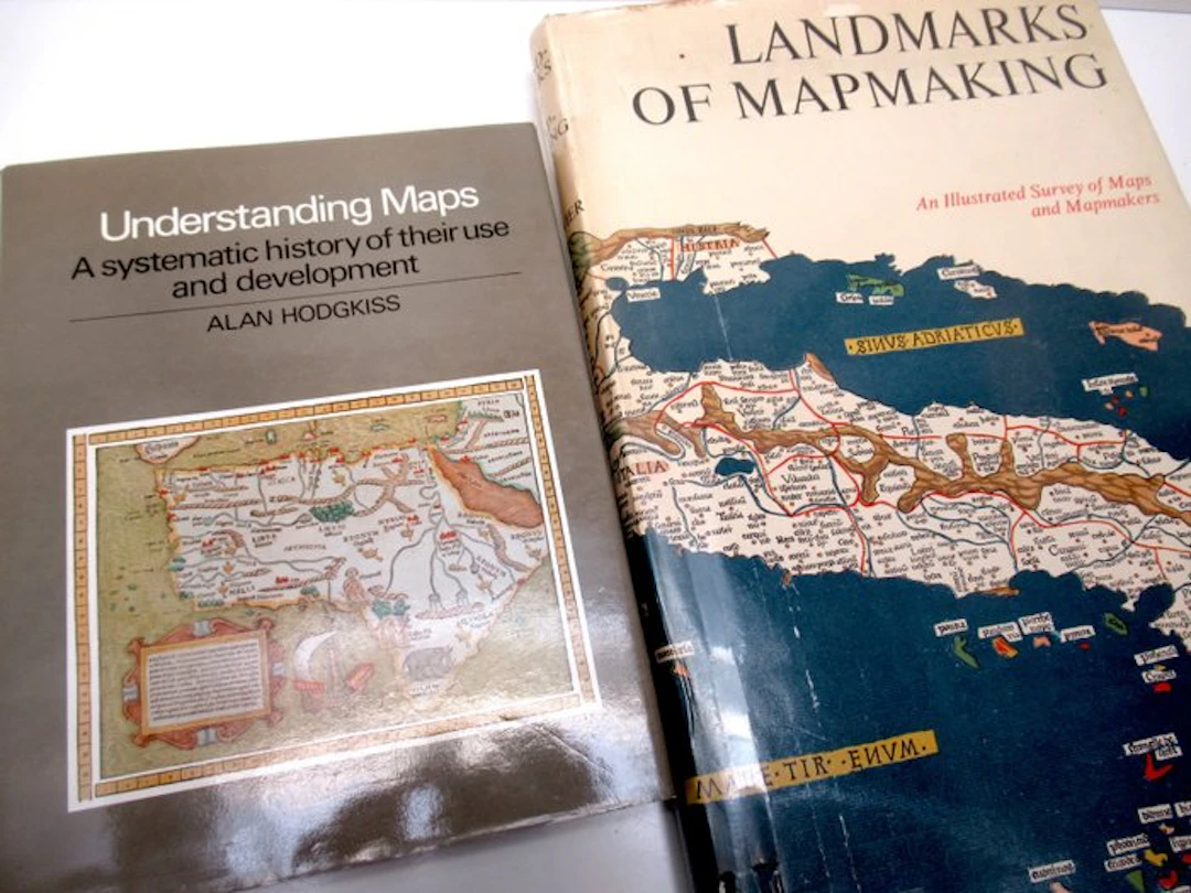
1- Landmarks of mapmaking. An Illustrated History of Maps and Mapmakers - Maps chosen and displayed by R.V. Tooley, text written by Charles Bricker, preface by Gerald Roe Crone - Amsterdam/Lausanne, Elsevier-Sequoia, 1968 (first edition) - 276 pp - hardback (linen) with dust jacket - 42 x 28 x 3,5 cm - weight: 3 kg. Condition: very good (dust jacket with imperfections) . The text is supported by more than 350 illustrations, among them reproductions of maps discussed, portraits of explorers and cartographers, and many more: ten fold-out maps in facsimile, printed in six to eight colours, four similar maps printed in one colour, and six illustrations in four colours, all on special high quality paper. Large format. 2- Understanding Maps. A systematic history of their use and development - Alan Hodgkiss - Folkestone, Wm Dawson & Son, 1981 - 210 - hardback (linen) with dust jacket - 28 x 22 cm. Mint condition. (total: 2 / weight: 4 kg).
Estimation:€2
Vers la vente aux enchèresVoir tous les objets deCatawikiouLivres, Cartographie & Manuscrits
Estimation:
€2
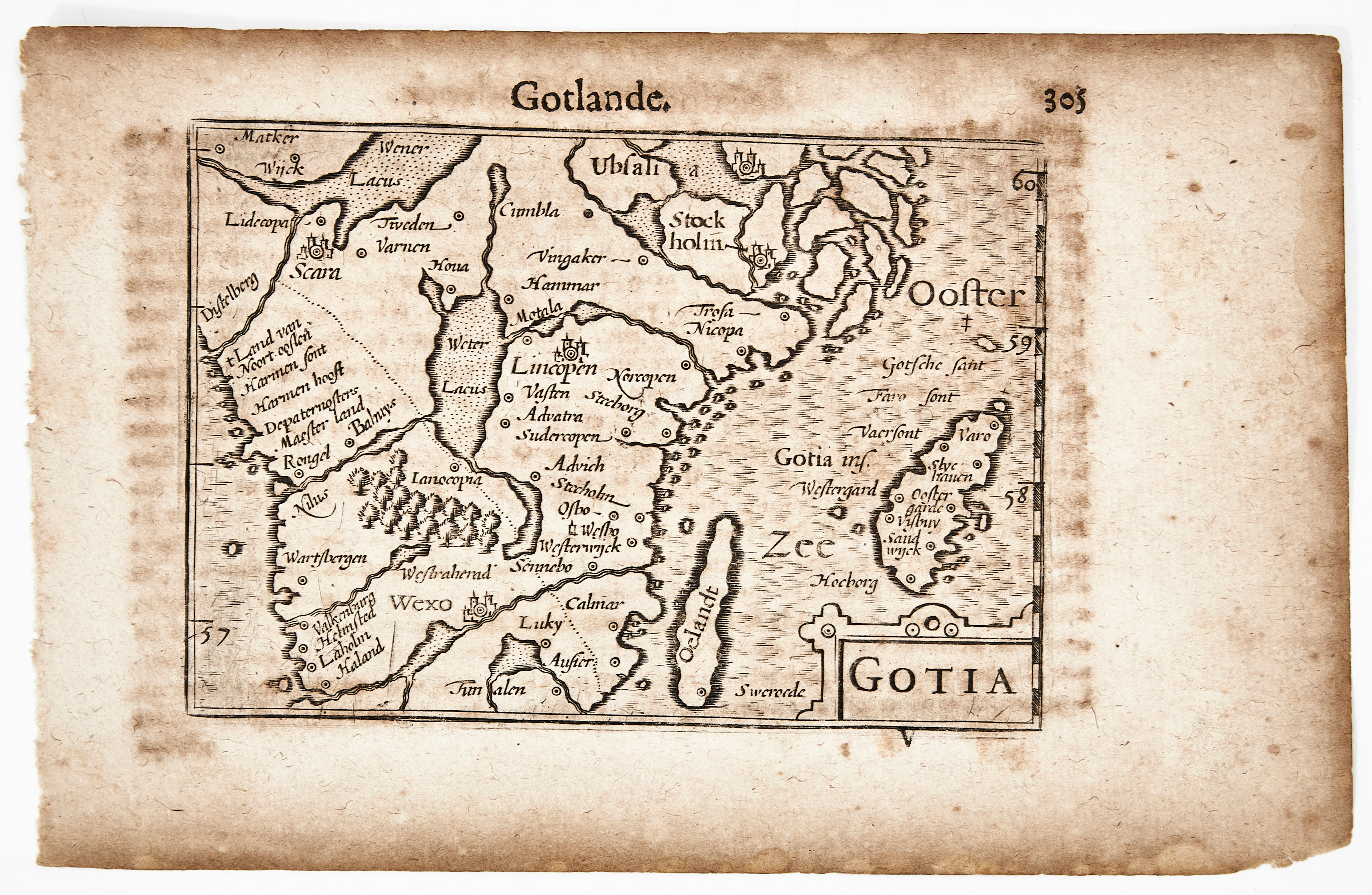
BERTIUS KARTA ÖVER GÖTALAND, Gotia, ca 1670.
10/07/2026
€90.34
Est. : €106.64
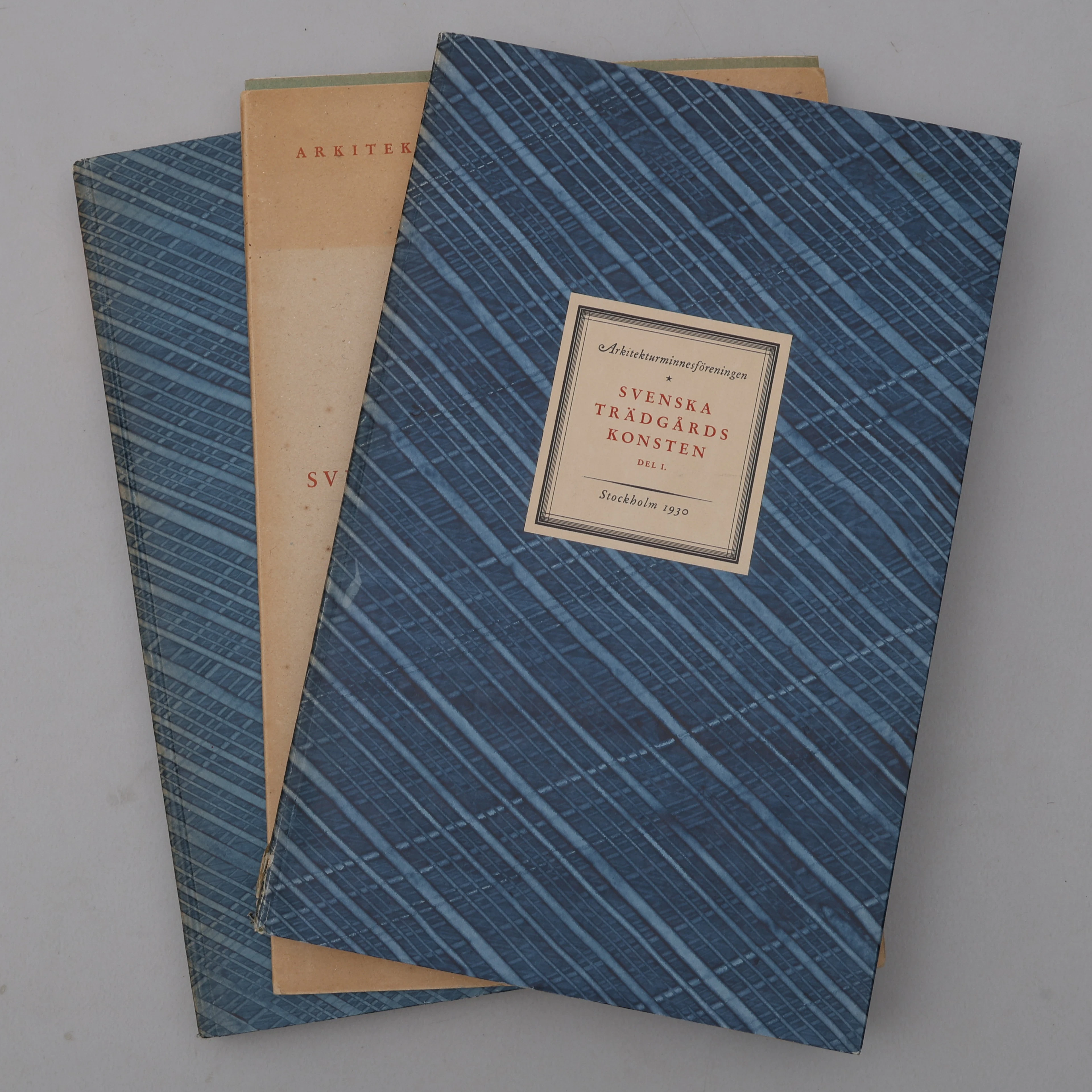
BIBLIOFILI/TRÄDGÅRD. SVENSKA TRÄDGÅRDSKONSTEN SÅDAN DEN TILL VÅRA
10/07/2026
€98.39
Est. : €266.61
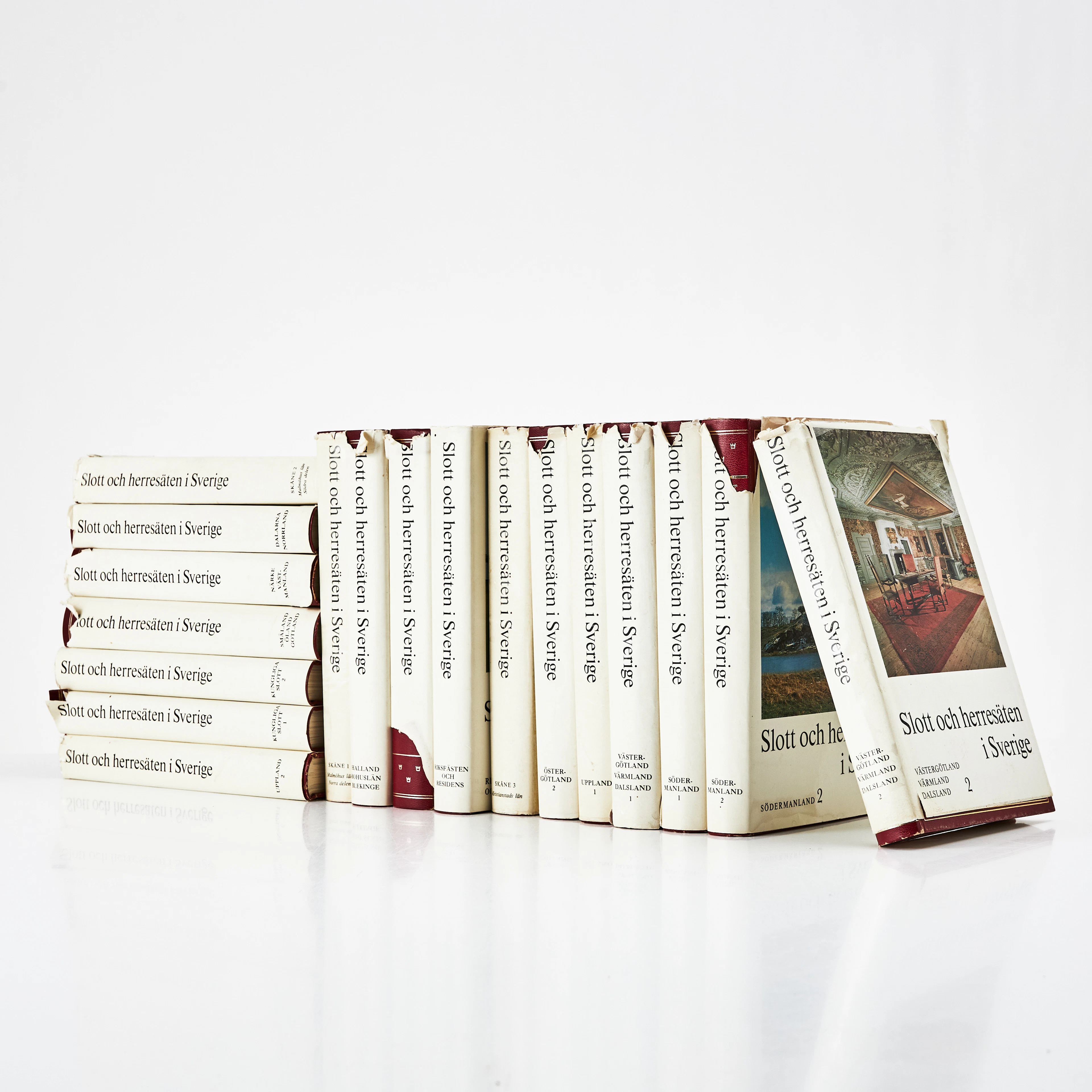
SLOTT OCH HERRESÄTEN I SVERIGE, 18 VOLYMER, Malmö, 1966-71.
10/07/2026
€71.55
Est. : €133.3
Présentez votre vente aux enchères à des collectionneurs du monde entier !
Soyez référencé dès maintenantEn vous abonnant, vous acceptez la politique de confidentialité. Désabonnez-vous à tout moment.
Barnebys HQ
Brahegatan 10
BOX 5038
114 37 Stockholm
