



Toutes les enchères / Arts Graphiques / Vintage County Map, Kent, History 19th Century Cartography, After Thomas Moule
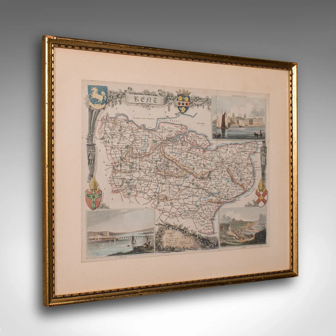
This is an vintage lithography map of Kent. An English, framed atlas engraving of cartographic interest, with mapping dating to the early 19th century. This is a quality vintage lithography map of Kent, with fine cartographic interest. Delivered ready to display. Max Width: 35.5cm (14'')Max Depth: 2.5cm (1'')Max Height: 29.5cm (11.5'') Map Width: 26.5cm (10.5'')Map Height: 20.5cm (8'')
Estimation:€585.92
Vers la vente aux enchèresVoir tous les objets deLondon Fine AntiquesouArts Graphiques
Estimation:
€585.92
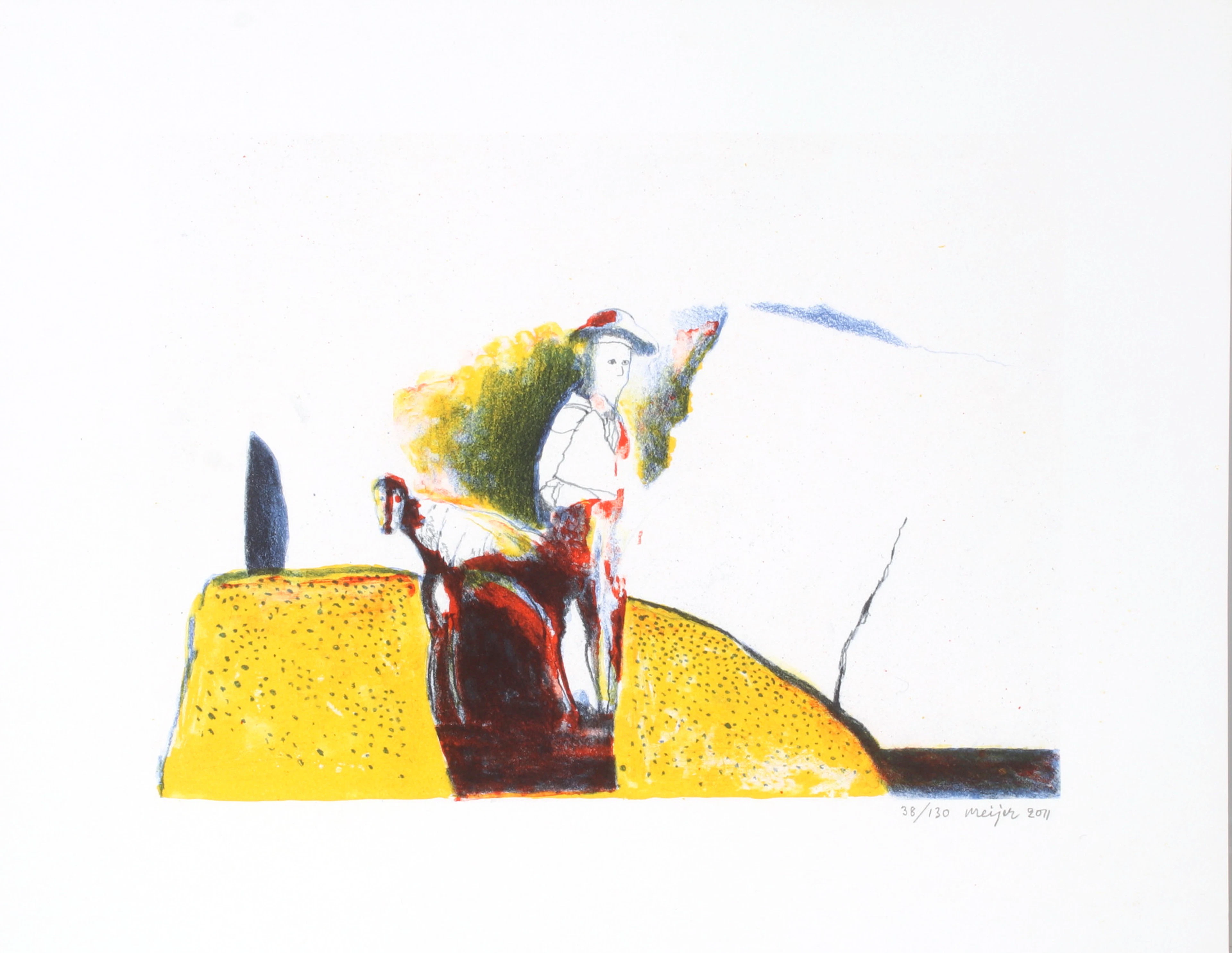
STURE MEIJER. Pojke med hund, litografi, signerad och numrerad 38/130.
10/14/2026
€26.88
Est. : €44.64

GUNNAR LÖBERG. Vattenspegling, olja på duk, signerad samt daterad 1931.
10/14/2026
€591.37
Est. : €537.49
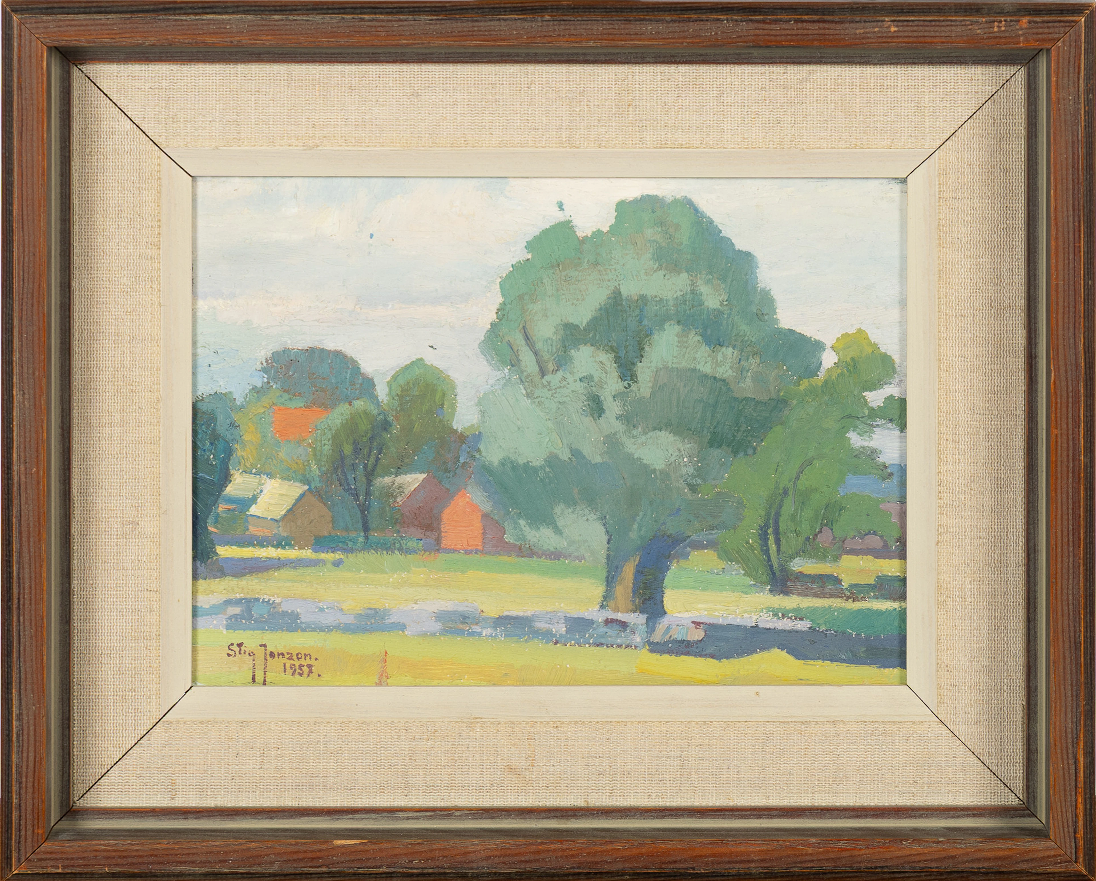
STIG JONZON. Landskapsmotiv, olja på pannå, signerad 1957.
10/14/2026
€45.87
Est. : €89.58




OCT 23 | 8:00 AM
Présentez votre vente aux enchères à des collectionneurs du monde entier !
Soyez référencé dès maintenantEn vous abonnant, vous acceptez la politique de confidentialité. Désabonnez-vous à tout moment.
Barnebys HQ
Brahegatan 10
BOX 5038
114 37 Stockholm
