







Toutes les enchères / Arts Graphiques / Vintage 18th Century Street Map, London, Covent Garden, The Strand, Cartography
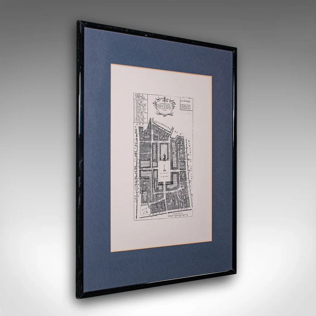
This is a vintage 18th century street map of London. An English, framed reproduction showing the parishes of St Clement's Danes and St Mary Savoy, dating to the late 20th century, circa 1980. Full title: A Mapp of the Parish of St Paul's Covent Garden, taken from the last Survey. This is a charming vintage reproduction of an 18th century London street map, with appealing lithography detail and tasteful presentation. Delivered ready to display. Max Width: 47.5cm (18.75'')Max Depth: 1.5cm (.5'')Max Height: 62.5cm (24.5'') Map Width: 30cm (11.75'')Map Height: 43cm (17'')
Estimation:€550.41
Vers la vente aux enchèresVoir tous les objets deLondon Fine AntiquesouArts Graphiques
Estimation:
€550.41

STURE MEIJER. Pojke med hund, litografi, signerad och numrerad 38/130.
10/14/2026
€26.88
Est. : €44.64


ROLAND EKSTRÖM. Bröllopsskål. Olja på duk, signerad.
10/14/2026
€26.88
Est. : €53.28

PHILIPPE DE ROUGEMONT. Kvinnostudie, olja på duk, signerad.
10/14/2026
€369.61
Est. : €268.74




OCT 23 | 8:00 AM
Présentez votre vente aux enchères à des collectionneurs du monde entier !
Soyez référencé dès maintenantEn vous abonnant, vous acceptez la politique de confidentialité. Désabonnez-vous à tout moment.
Barnebys HQ
Brahegatan 10
BOX 5038
114 37 Stockholm
