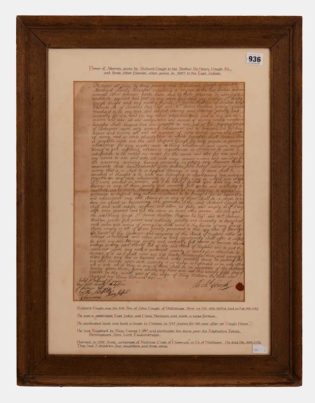






Toutes les enchères / Livres, Cartographie & Manuscrits / United Kingdom - North and East of England: from...

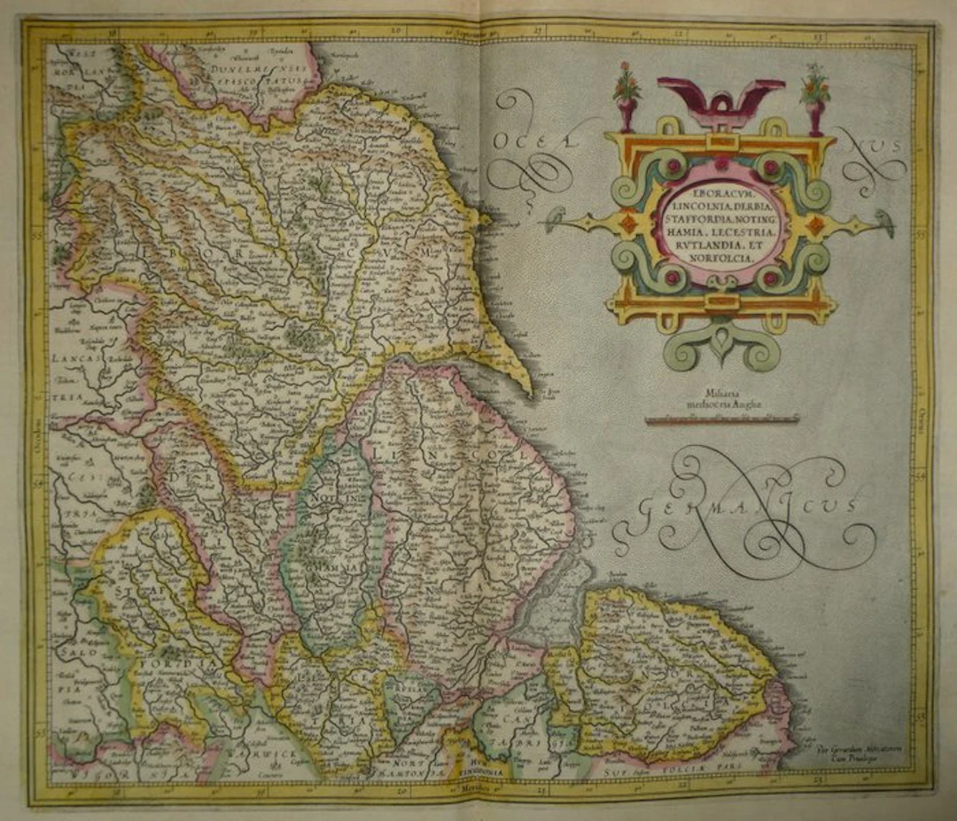
Ancient copper-engraved map of Northern and Eastern England (Yorkshire, Lincolnshire, Derbyshire, Staffordshire, Nottinghamshire, Leicestershire, Rutland and Norfolk) by Mercator, published in 1633 in the Mercator-Hondius atlas. We see a cut-leather cartouche, surmounted by two flowered vases, with two birds perched on its lateral ends. The North Sea is labelled “Oceanus Germanicus” in large, calligraphic, scrolling letters. A scale in “Miliaria mediocria Angliae” appears beneath the cartouche. The frame is graduated in longitude and latitude, with the terms Septentrio, Meridies, Occidens and Oriens. The interior is detailed: towns and villages, rivers, relief in perspective, wooded areas and county boundaries highlighted in colors. Along the coasts, one can discern the Humber, The Wash and the Spurn Head point. Signed “Per Gerardum Mercatorem Cum Priuilegio”. On the verso, French text: “La sixiesme table d'Angleterre” (p. 137) and p. 140. - Dimensions: sheet size: 56 x 47.5 cm; plate (map) 46.9 x 35.3 cm - Condition: Good overall for a map of this period. Presence of a vertical central crease, some brown damp-stains in the upper margin and light soiling. See photos for more details. Atlas Mercator-Hondius - The atlas called “Mercator-Hondius” reprises the work of Gerard Mercator, whose copper plates were bought back by Jodocus Hondius in 1604. This French edition of 1633 is signed by his son Henricus Hondius and his son-in-law Joannes Janssonius, who expanded it with new maps. Gerard Mercator – Gerard Mercator (Gerhard Kremer) was a Flemish-born cartographer and geographer, born in 1512 at Rupelmonde and died in 1594 in Duisburg. Trained at Leuven, he became renowned there for making terrestrial and celestial globes. His world map of 1569 uses the cylindrical projection that bears his name. His atlas was published posthumously in 1595. His plates were later taken up and reissued by Jodocus Hondius, then by his son Henricus, whose editions circulated in the 17th century under the name of the Mercator-Hondius atlas.
Estimation:€150
Vers la vente aux enchèresVoir tous les objets deCatawikiouLivres, Cartographie & Manuscrits
Estimation:
€150
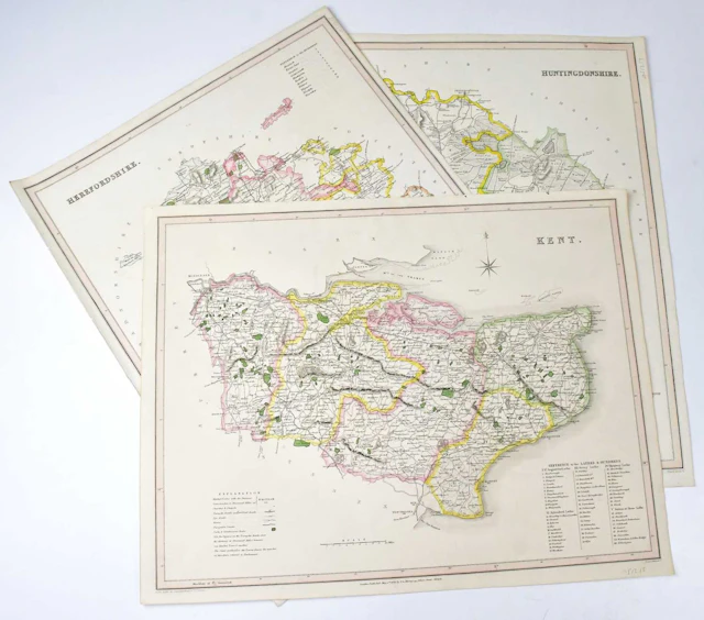
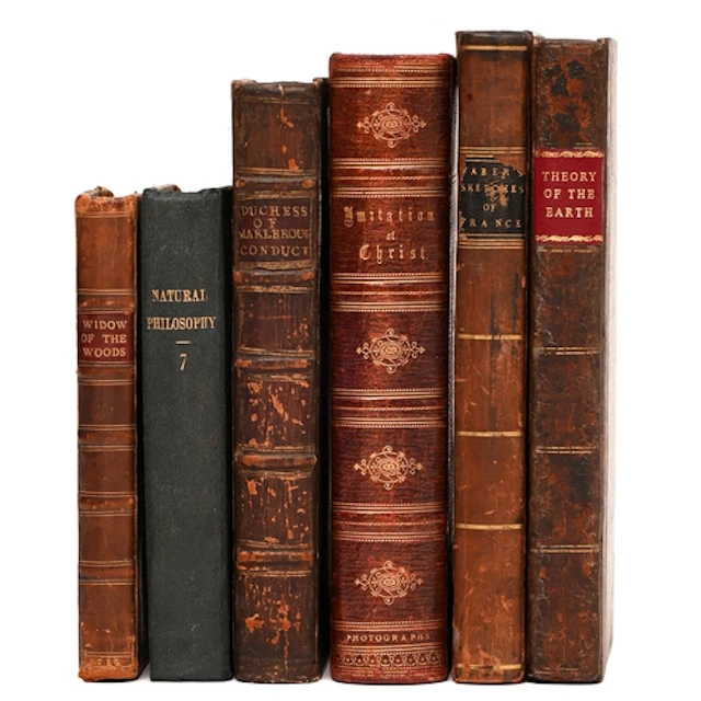
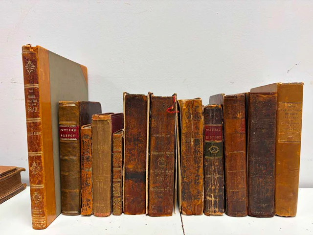
Miscellaneous. Staffordshire: [Victor (Benjamin)], The Widow...
10/13/2026

€118.18
Est. : €116.66
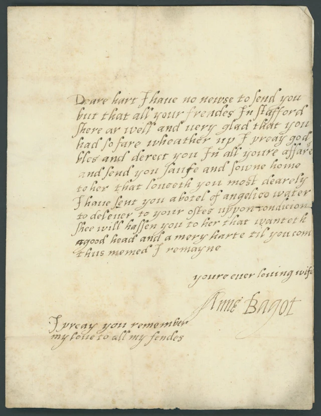
Undated letter from Ann Bagot in Staffordshire with integral address
09/24/2026
€349.04
Est. : €349.12




OCT 27 | 4:00 PM
Présentez votre vente aux enchères à des collectionneurs du monde entier !
Soyez référencé dès maintenantEn vous abonnant, vous acceptez la politique de confidentialité. Désabonnez-vous à tout moment.
Barnebys HQ
Brahegatan 10
BOX 5038
114 37 Stockholm
