






Présentez votre vente aux enchères à des collectionneurs du monde entier !
Soyez référencé dès maintenantEn vous abonnant, vous acceptez la politique de confidentialité. Désabonnez-vous à tout moment.
Barnebys HQ
Brahegatan 10
BOX 5038
114 37 Stockholm
Toutes les enchères / Livres, Cartographie & Manuscrits / Theatrum Orbis Terrarum

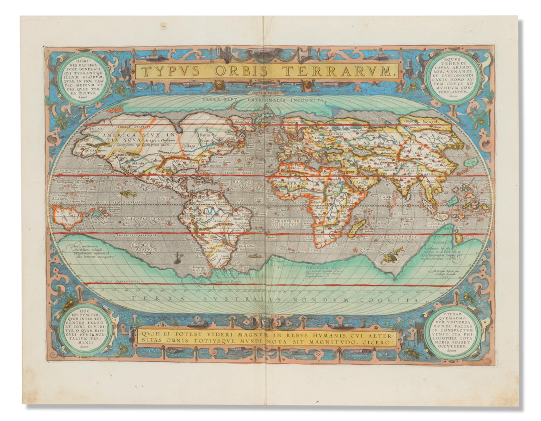
ORTELIUS, Abraham (1527-1598). Theatrum orbis terrarum. [-Parergon, -Nomenclator]. Antwerp [1595]. A hand-colored copy of the 1595 edition of Ortelius's great atlas, complete with 147 maps. First published in 1570, the Theatrum orbis terrarum is universally recognized as the first modern atlas. It was the most authoritative and successful of such works during the late-sixteenth and early-seventeenth centuries and it made Abraham Ortelius one of the most prominent geographers of his time. "The publication of [the first edition] of this atlas marked an epoch in the history of cartography. It was the first uniformly sized, systematic collection of maps of the countries of the world based only on contemporary knowledge and in that sense may be called the first modern atlas" (Tooley). Ortelius amassed a large private collection of maps and corresponded with most map-makers and map-sellers in Antwerp and abroad. This enabled him to compile the "Atlas of the Whole World" from the best available sources. His list of contributors, which included not only the authors of the original maps but other cartographers and geographers as well, has been of particular value for historians of cartography. The engraved allegorical title with its five female figures representing the five continents (one a mere bust, symbolizing the mostly unexplored continent of "Magellenica," i.e. Antarctica), contains what is "probably the earliest allegorical representation of America" (Koeman). The Atlas includes Ortelius's famous world map, "Typus Orbis Terrarum" (plate 3, state 1), followed by his map of the Americas "Americae Sive Novi Orbis, Nova Descriptio," maps of Asia, Africa, Europe and numerous regional maps. The atlas was first published in 1570 (with 53 maps), with more than 40 editions appearing until 1612. Through the launching of his world atlas "pre-eminence in map publishing was transferred from Italy to the Netherlands leading to over a hundred years of Dutch supremacy in all facets of cartographical production" (Shirley). Koeman Ort 29; Shirley 144 (Typus Orbis Terrarum, plate 3, state 1, dated 1587 [but c.1592], "With medallions in the corners and geographical revisions"). Three volumes in one, folio (440 x 280mm). Complete with 147 maps (115 + 32 in Parergon). Early hand-color, with engraved title and portrait heightened in gilt (some soiling to preliminary leaves as well as lower margins/corners throughout, heavier in second half; very minor worming through prelims within title image and through margin of quires f-h in Parergon; a couple minor repaired tears, with small loss only to Hibernia). 18th-century speckled calf (rebacked).
Estimation:€69,695.92
Vers la vente aux enchèresVoir tous les objets deChristie'souLivres, Cartographie & Manuscrits
Estimation:
€69,695.92
Présentez votre vente aux enchères à des collectionneurs du monde entier !
Soyez référencé dès maintenant
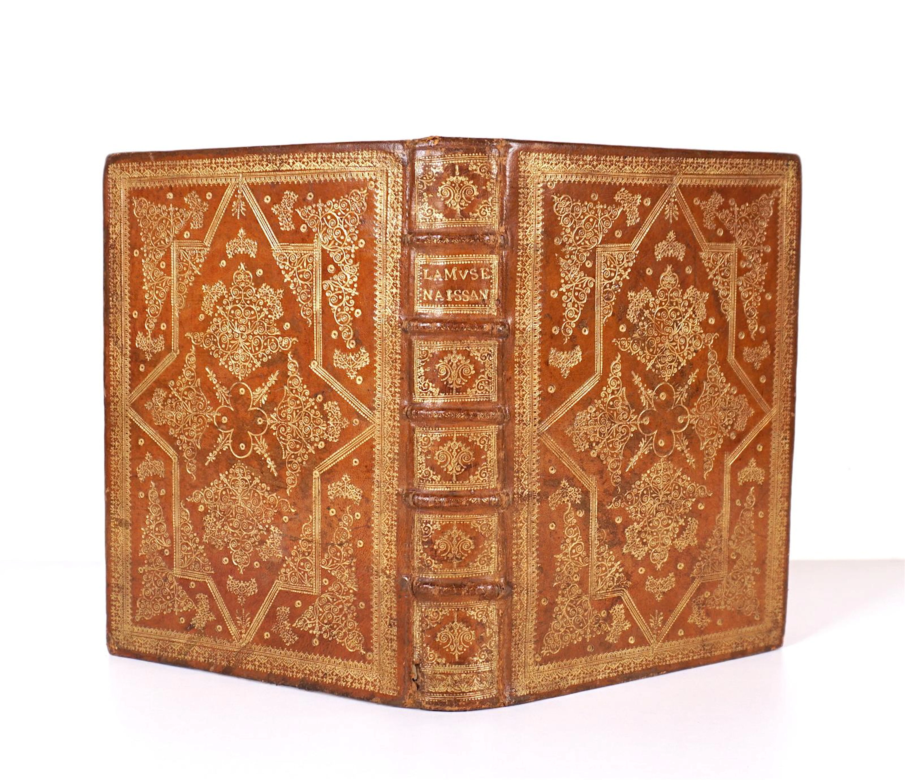
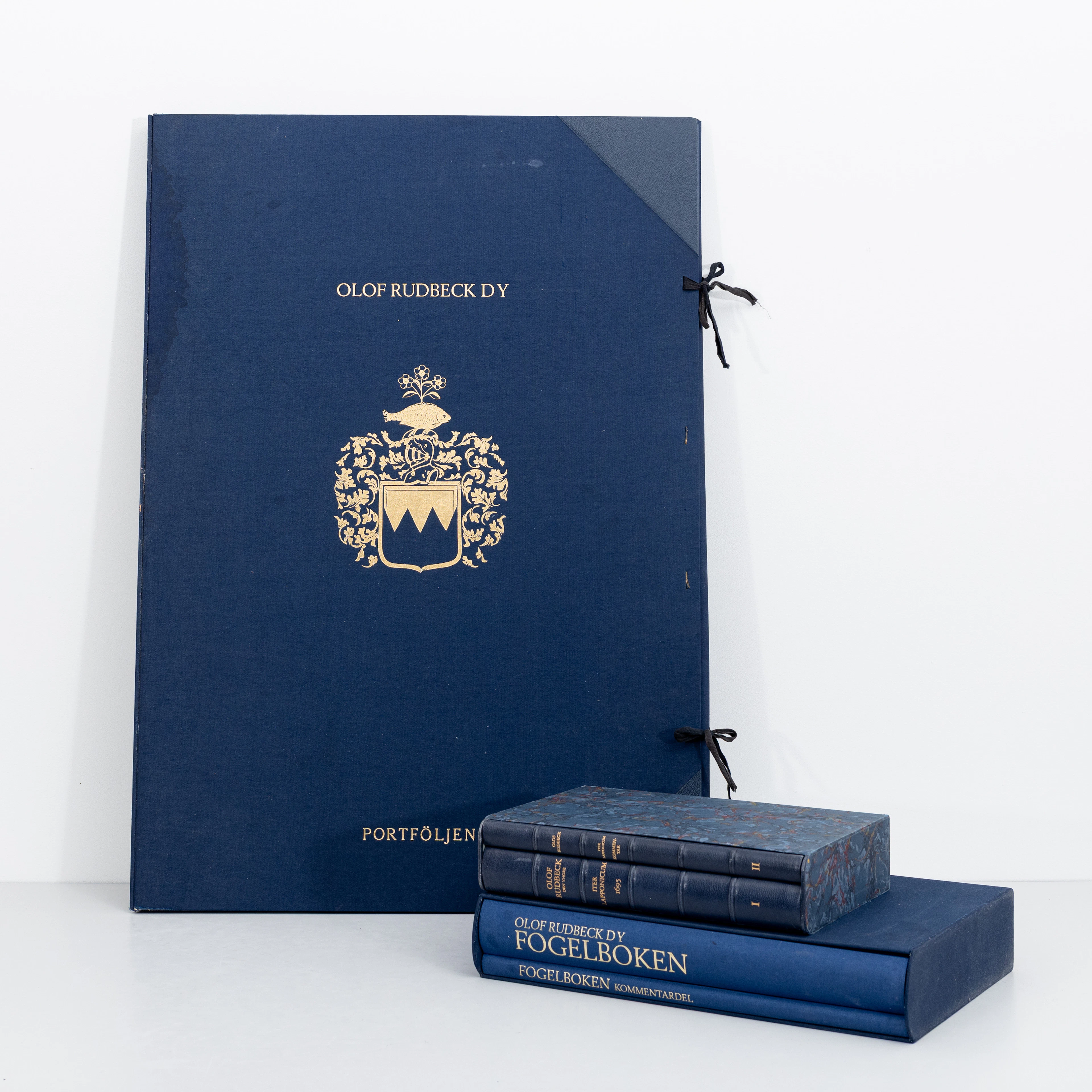
OLOF RUDBECK D.Y. Faksimilutgåvor, portfölj med planscher samt 2 st
09/29/2026
€141.12
Est. : €264.85
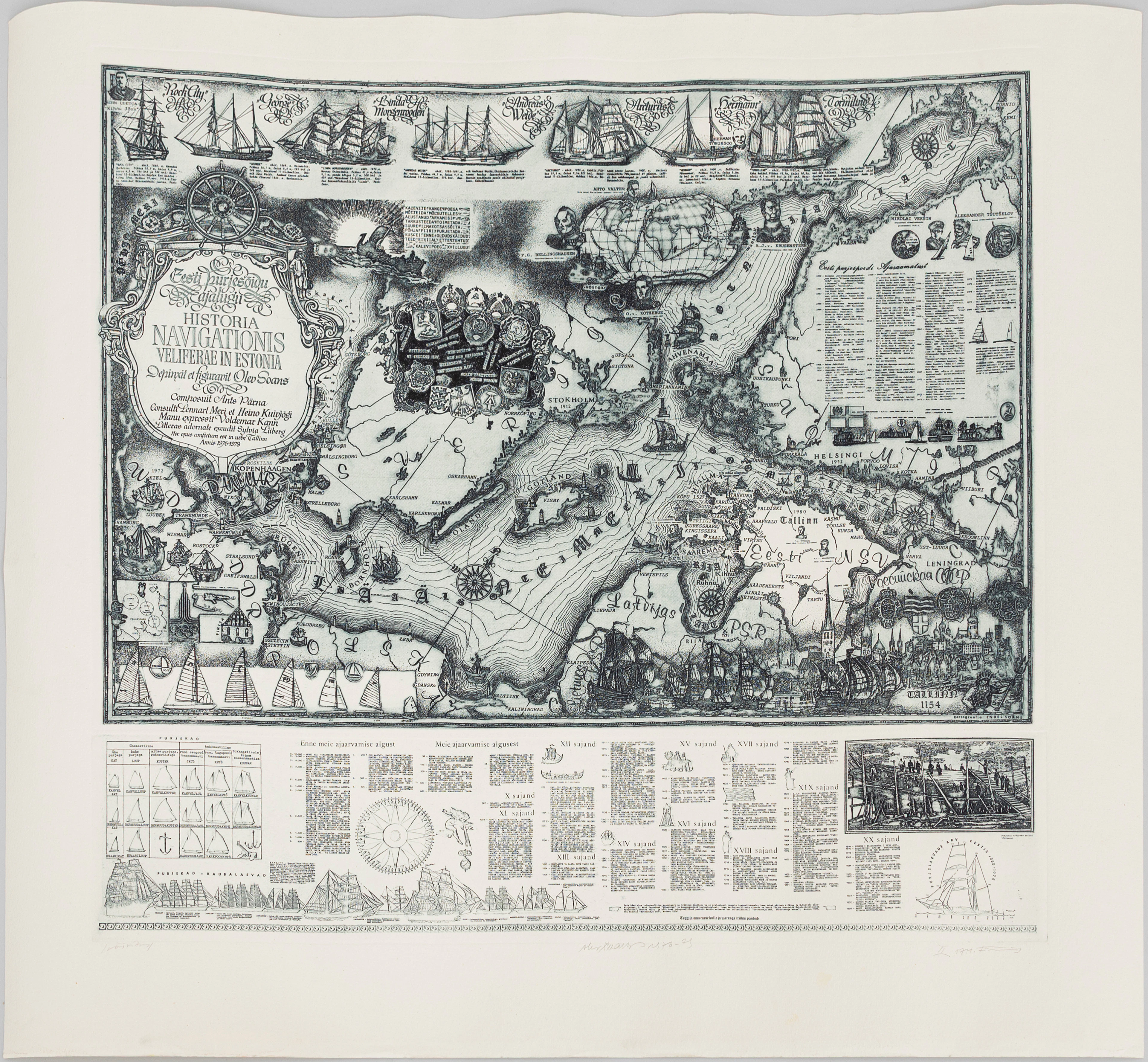
OLEV SOANS (ESTLAND, 1925–1995). "Historia navigationis Velieferae
09/29/2026
€184.07
Est. : €220.71

