




Présentez votre vente aux enchères à des collectionneurs du monde entier !
Soyez référencé dès maintenantEn vous abonnant, vous acceptez la politique de confidentialité. Désabonnez-vous à tout moment.
Barnebys HQ
Brahegatan 10
BOX 5038
114 37 Stockholm
Toutes les enchères / Livres, Cartographie & Manuscrits / Original Fairfax Land Surveys - The Most Important Original Manuscript

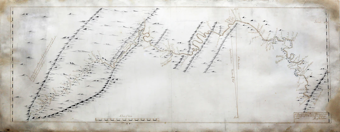
Maps – Potomac River – Fairfax, Thomas]. Three manuscript maps surveying Lord Fairfax’s lands along the Potomac River. 1736, [1737], 1737. Winslow, Benjamin. A Plan of the Upper Part of Potomack River called Cohongorooto, survey’d in the Year 1736. Pen and ink with wash on paper. 18 ½” x 45” sheet, 28” x 55” framed. Titled and signed "Benj. Winslow" lower right-hand corner. [Thomas, James.] A manuscript map of the Potomac River as it runs through Westmoreland County in Virginia. [1737]. Pen and ink with wash on paper. 24 ¼” x 15 ¾” sheet, 33” x 25” framed. Brooke, Robert. A Plan of Potomack River, from the Mouth of Sherrendo, down to Chapawamsick, surveyed in the year 1737. Pen and ink on paper. 25 ½” x 18” sheet, 35” x 27” framed. Titled and signed “Ro. Brooke” lower right-hand corner. The Most Important Original Manuscript Maps of Virginia; Used to make the Famous Fry & Jefferson Map THE FIRST ACCURATE AND DETAILED SURVEY OF THE POTOMAC RIVER, which ILLUSTRATES FOR THE FIRST TIME THE ACCURATE POSITION OF THE HEAD-WATERS OF THE POTOMAC TO DETERMINE BOUNDS TO SIR THOMAS FAIRFAX'S CLAIM. Thomas Fairfax, the 6th Lord Fairfax of Cameron (1693–1781) was the only British nobleman who lived in America in the decades before Independence. Through his mother’s family, the Culpepers (Colepepers) — his grandfather Thomas Culpeper was governor of the colony of Virginia 1677–1783 — he came to possess large estates in what is now the Northern Neck of Virginia. Because of rioting in 1682, Culpeper returned to England, was unceremoniously stripped of his governorship by Charles II and forced to sell land to the Crown; the estates in the Northern Neck were all that remained. Because of the uncertainty of the terrain, the language of the deed of sale (between the Rappahannock and “Potomack” from their headwaters to the “Bay of Chesapeyock”) was quite vague, and as a result there was a dispute over the exact boundaries of the remaining Culpeper estates. Lord Fairfax therefore employed surveyors — George Washington’s first job was surveying for Fairfax (a distant cousin) — to establish the real extent of his property. He arrived in 1735 (and would settle at Belvoir in 1747) in order to oversee the process. These three maps are the product of that survey. Each would be transferred to plates and published a decade later they were the fundamental maps of this region, leading eventually to Fry and Jefferson’s 1751 map. The maps vary in their aims and therefore their approaches. Winslow’s is seeking the headwaters of the Potomac, ending at what is now consequently called “Fairfax Stone.” Thomas’s charts the Potomac closer to its mouth at Chesapeake Bay. Brooke’s records individual holdings in the central section of the river — from northwest of present Washington, DC to Quantico — including (his no. 44) “Capt. Washingtons,” which would go on to be Mount Vernon. See Imago Mundi 64:2 (2012), 258.
Estimation:€702,720.8
Vers la vente aux enchèresVoir tous les objets deArader GalleriesouLivres, Cartographie & Manuscrits
Estimation:
€702,720.8
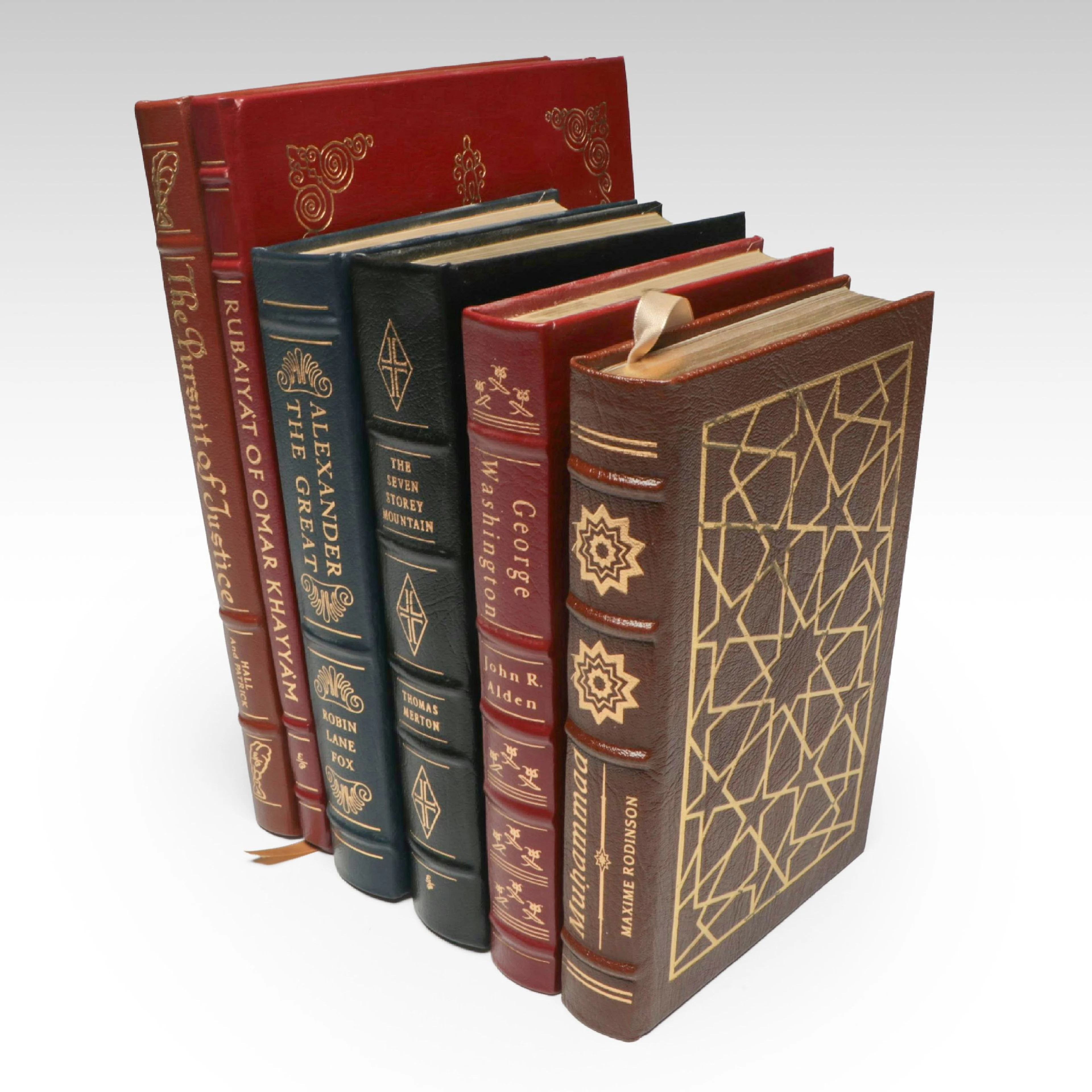
"Rubáiyát of Omar Khayyám," "George Washington," and More Books
09/28/2026
€44.97
Est. : €27.21
Présentez votre vente aux enchères à des collectionneurs du monde entier !
Soyez référencé dès maintenant
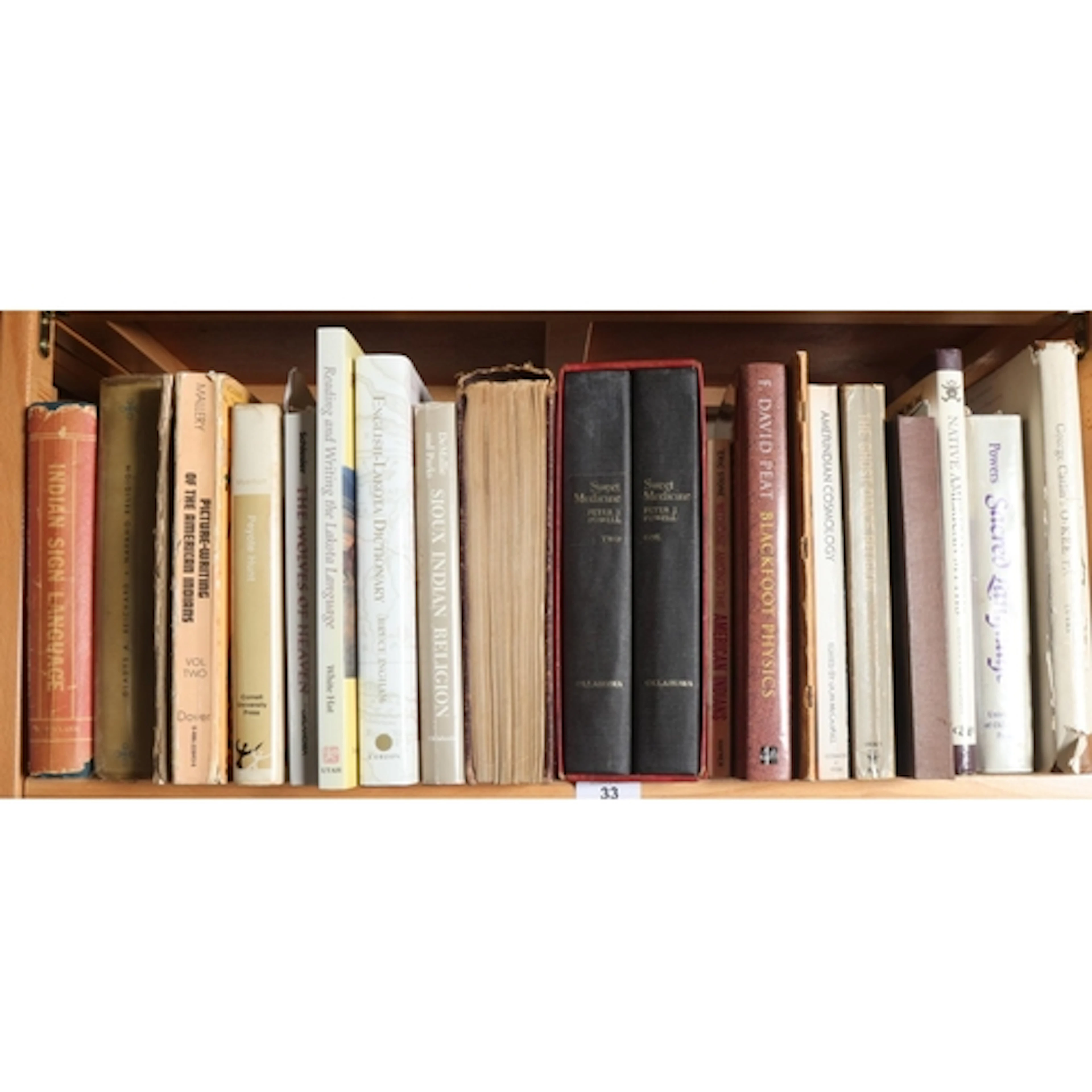
Native American language and religion to include: Sweet Medi...
09/23/2026

€209.06
Est. : €93.09
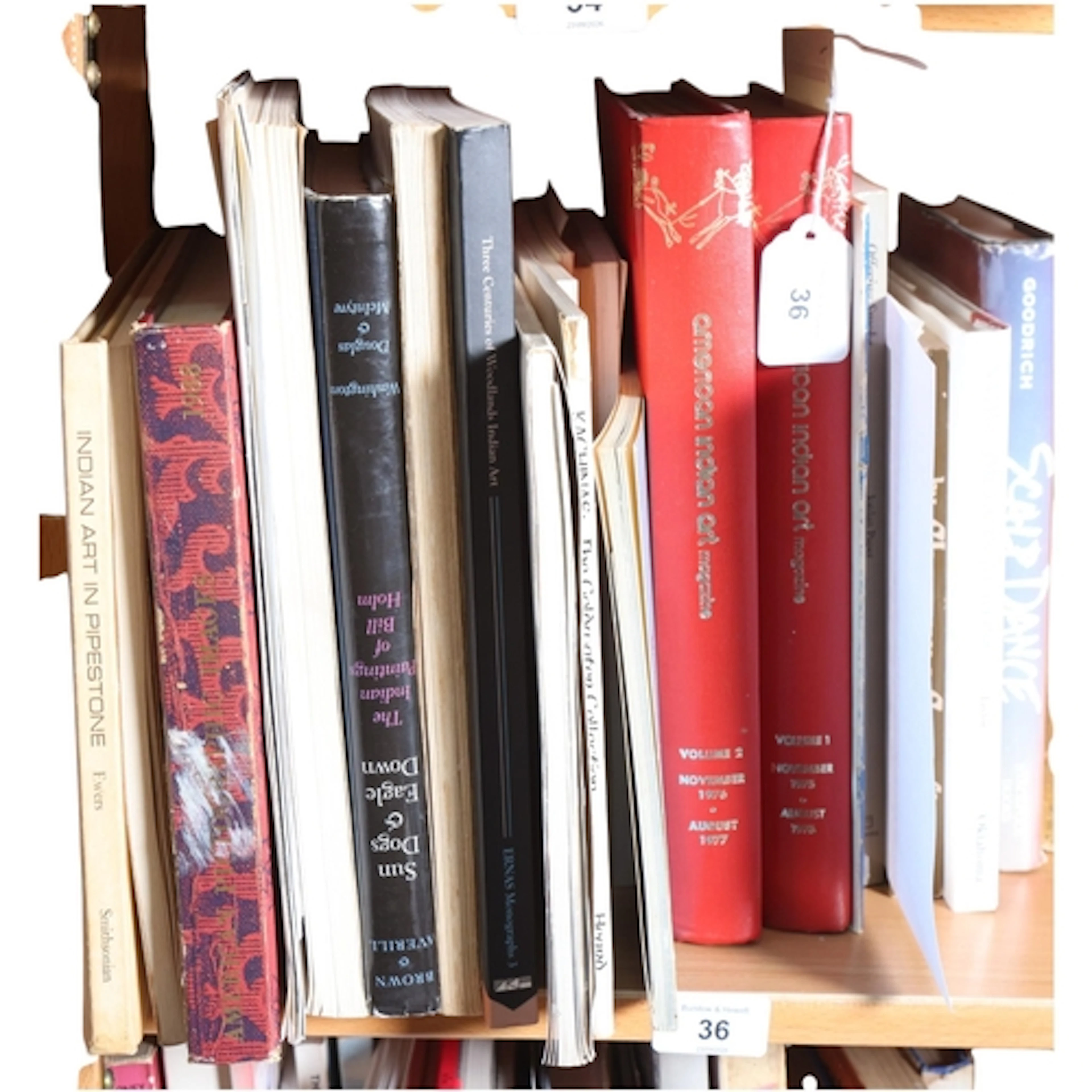
Arts and crafts of the Native American Peoples, including: T...
09/23/2026
€104.53
Est. : €93.09
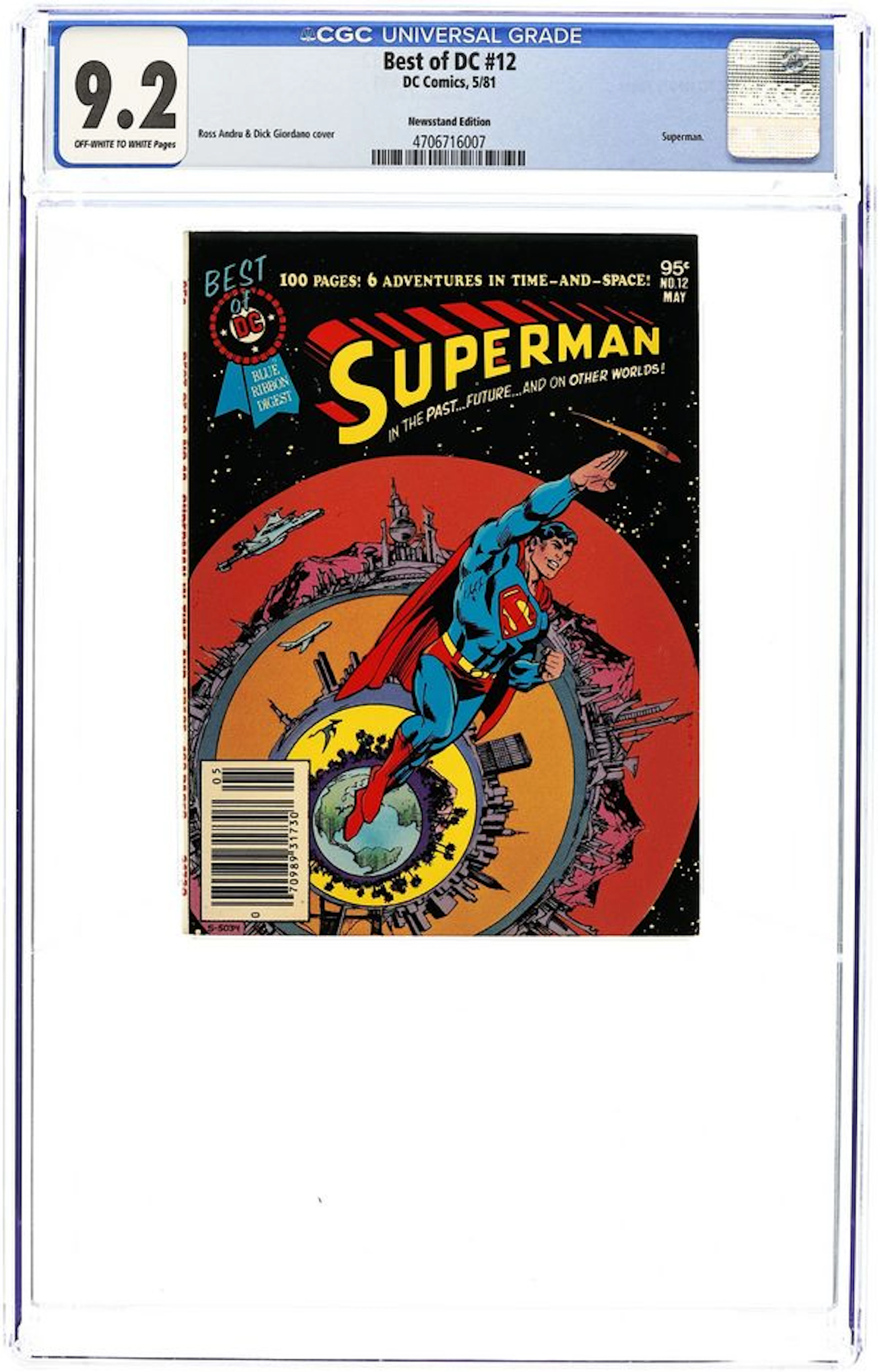
![[First Edition] The Collector John Fowles [Used - Fine] [Hardcover]](https://bbys.imgix.net/2788/21cd6c91119f36f4f76b7cb297c02349f3229dda41026f7c12f279f2523cede1.jpg?auto=format&w=3840&q=75)
