





Présentez votre vente aux enchères à des collectionneurs du monde entier !
Soyez référencé dès maintenantEn vous abonnant, vous acceptez la politique de confidentialité. Désabonnez-vous à tout moment.
Barnebys HQ
Brahegatan 10
BOX 5038
114 37 Stockholm
Toutes les enchères / Livres, Cartographie & Manuscrits / N. TASSIN (18th), Map of the Rhône-Alpes and Burgundy, 1633, Copper

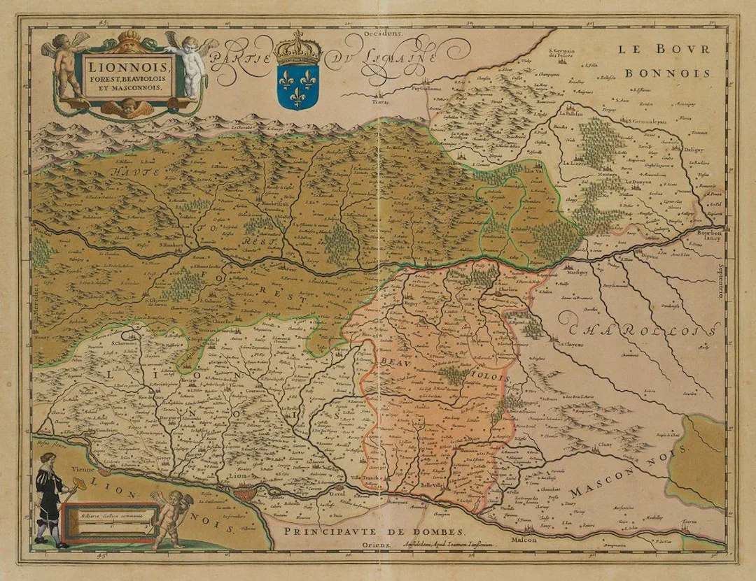
N. TASSIN (18th), Map of the Rhône-Alpes and Burgundy, 1633, Copper engraving Nicolas Tassin (18th century): Map of the Rhône-Alps and Burgundy in France, 1633, Copper engraving Technique: Hand-colored copper engraving on paper Inscription: Upper left, inscribed on the printing plate: "Lionnois, Forest, Beavilois, and Masconnois". Date: 1633 Size: Paper: 38.0 cm x 49.5 cm (15 x 19.5 in
Estimation:€300
Vers la vente aux enchèresVoir tous les objets deFichter Kunsthandel e.K.ouLivres, Cartographie & Manuscrits
Estimation:
€300
Présentez votre vente aux enchères à des collectionneurs du monde entier !
Soyez référencé dès maintenant€300
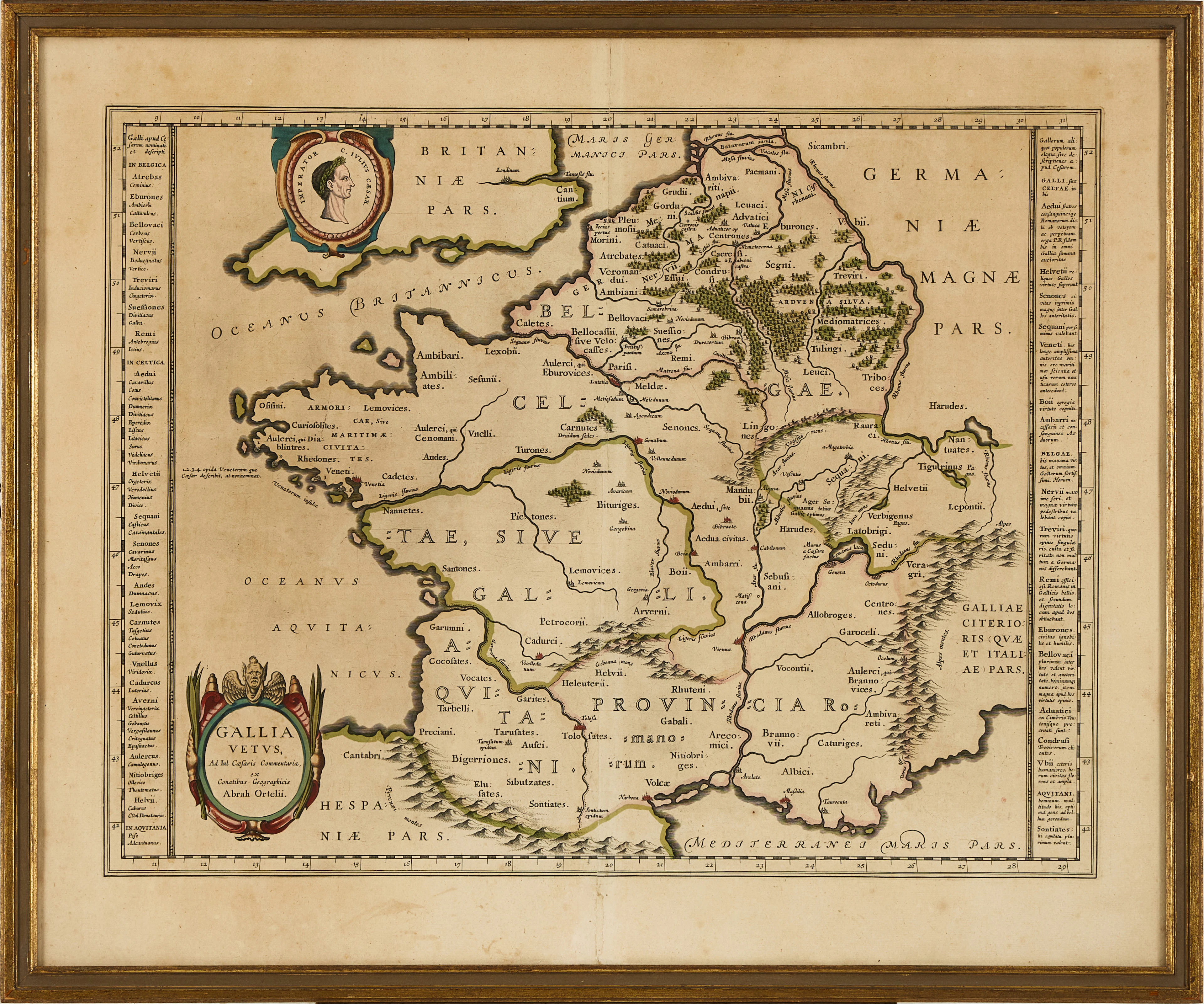
KARTA ÖVER FRANKRIKE, ORTELIUS GALLIA VETUS, ca 1590-1610.
10/06/2026
€71.43
Est. : €133.21
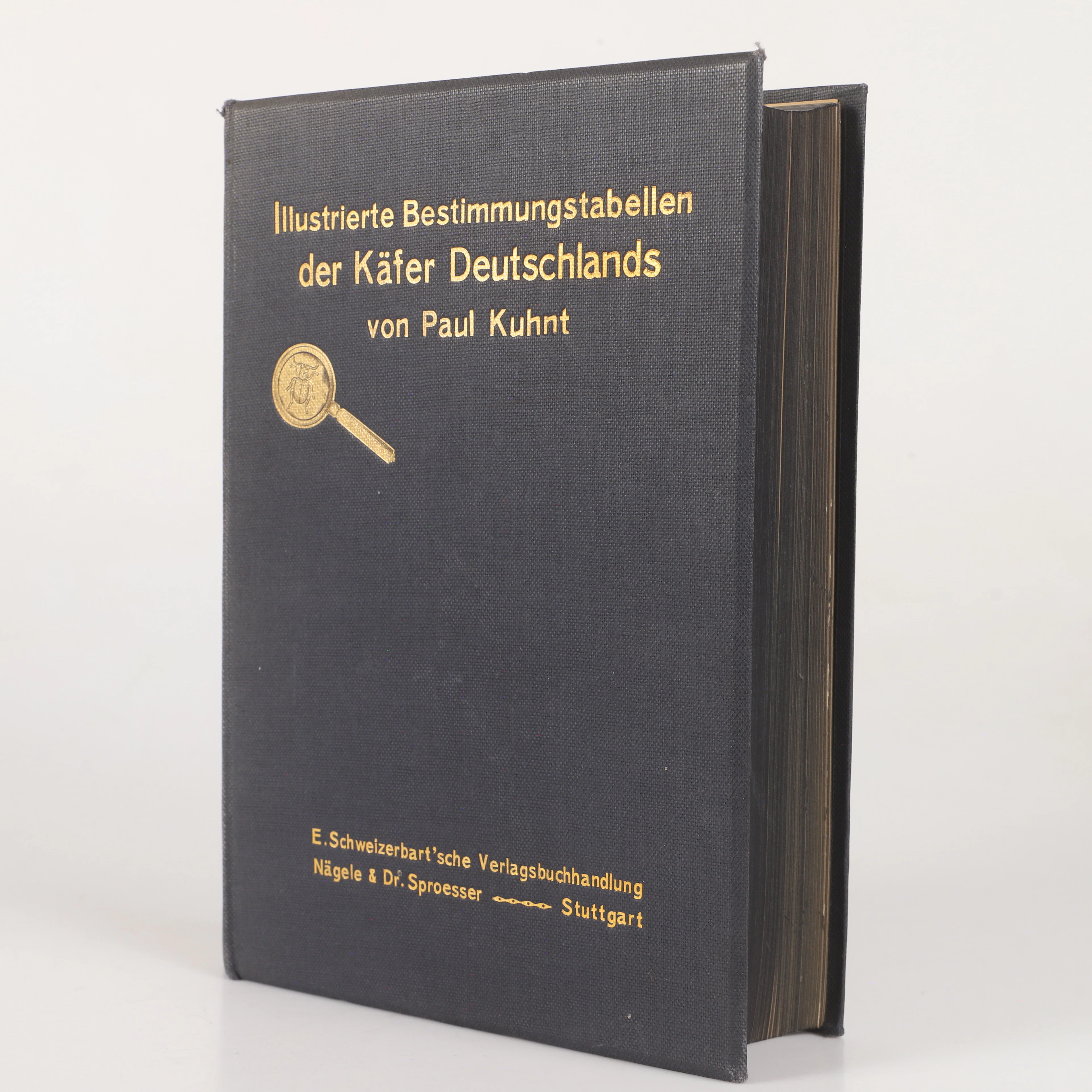
BOK, "Illustrierte bestimmungstabellen der käfer Deutschland"Paul
10/06/2026

€26.78
Est. : €35.29

