








Toutes les enchères / Livres, Cartographie & Manuscrits / Italy - Topographic survey – Territory of Orvieto; Willem...

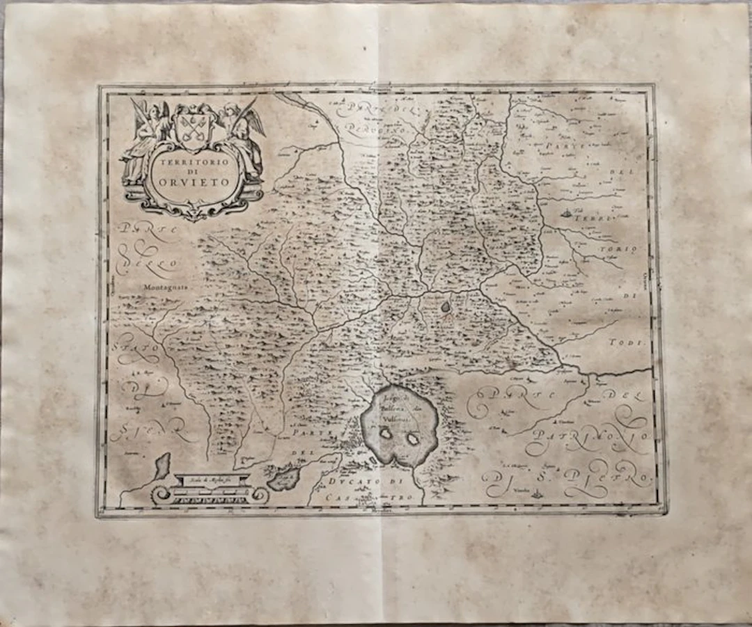
Type: Copper engraving, finished with a burin Support: Handmade watermarked paper; when viewed against the light you can see the typical fine vertical and horizontal lines (vergelle and filoni) and the related watermark. Condition: Excellent print impression, good overall conservation with slight traces of foxing and browning; the paper shows a widespread natural browning due to age, small vertical tear without losses, all as shown in the photos; Shipping: Insured shipment via Bartolini/DPD courier. To take advantage of the insurance coverage, any damage to the item must be reported to the courier at the time of delivery. Otherwise, the insurance reimbursement procedure cannot be activated; Provenance: Provenance private collection; Guiljelmus Blaeu (Latinized form of Willem Janszoon Blaeu, 1571–1638) was a renowned Dutch cartographer and astronomer, founder of one of the most important cartographic printing houses in Europe in Amsterdam.
Estimation:€200
Vers la vente aux enchèresVoir tous les objets deCatawikiouLivres, Cartographie & Manuscrits
Estimation:
€200
KARL NORDSTRÖM (Tjörn 1855-1923 Drottningholm). Skissbok, Frankrike
10/19/2026
€440.42
Est. : €897.77
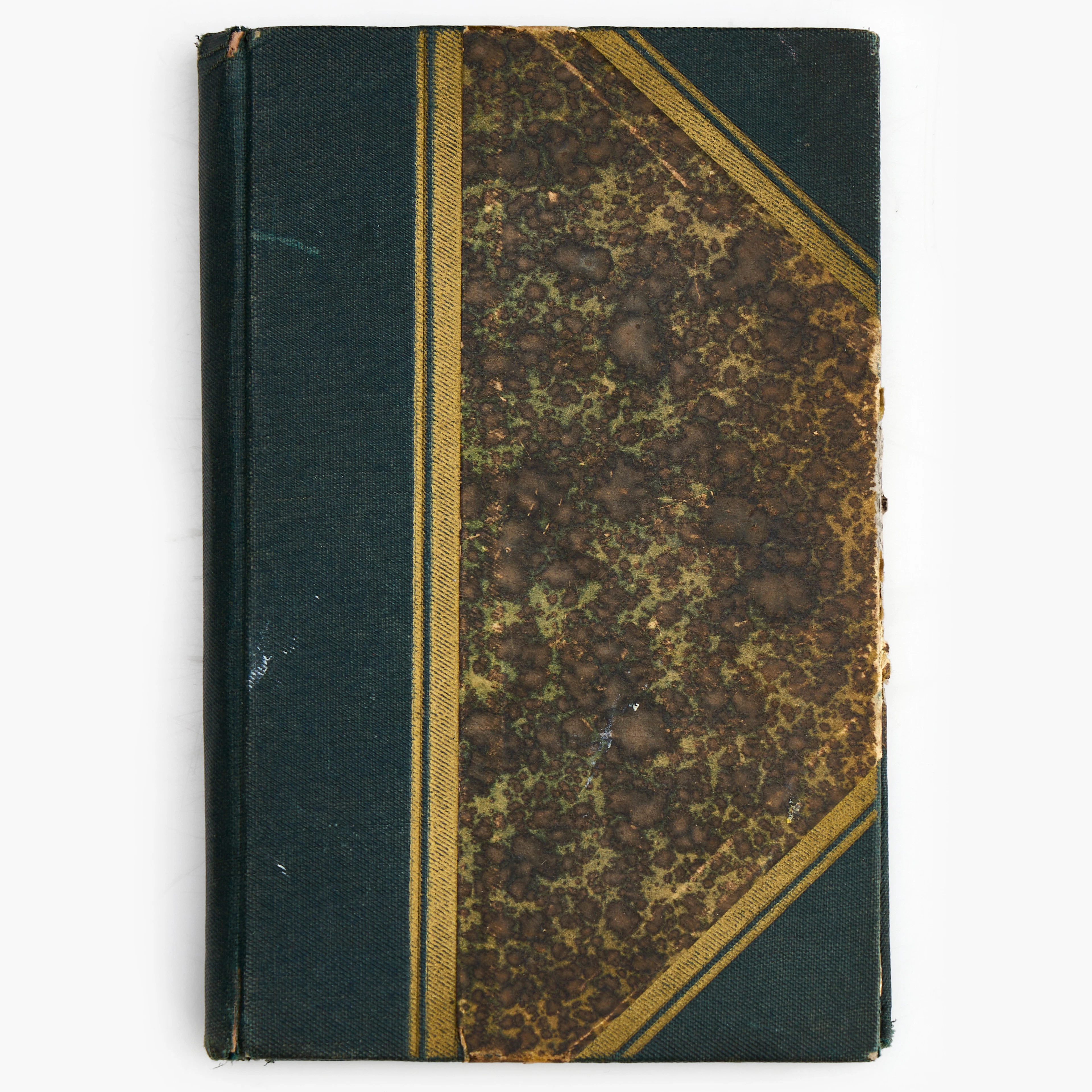
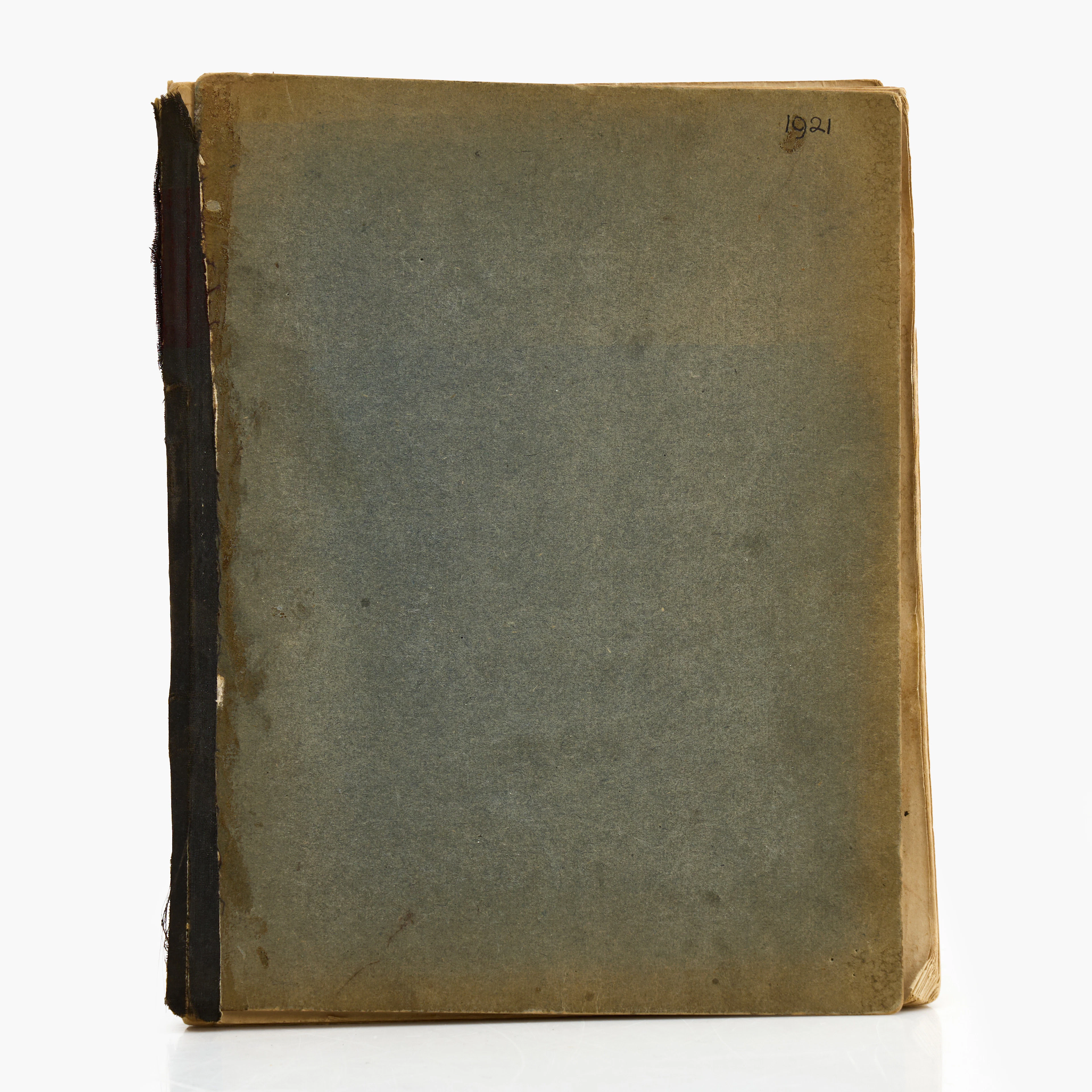
KARL NORDSTRÖM (Tjörn 1855-1923 Drottningholm). Anteckningsbok från 1920.
10/19/2026
€98.87
Est. : €359.1



OCT 23 | 8:00 AM
Présentez votre vente aux enchères à des collectionneurs du monde entier !
Soyez référencé dès maintenantEn vous abonnant, vous acceptez la politique de confidentialité. Désabonnez-vous à tout moment.
Barnebys HQ
Brahegatan 10
BOX 5038
114 37 Stockholm
