






Présentez votre vente aux enchères à des collectionneurs du monde entier !
Soyez référencé dès maintenantEn vous abonnant, vous acceptez la politique de confidentialité. Désabonnez-vous à tout moment.
Barnebys HQ
Brahegatan 10
BOX 5038
114 37 Stockholm
Toutes les enchères / Livres, Cartographie & Manuscrits / Italy - Italy

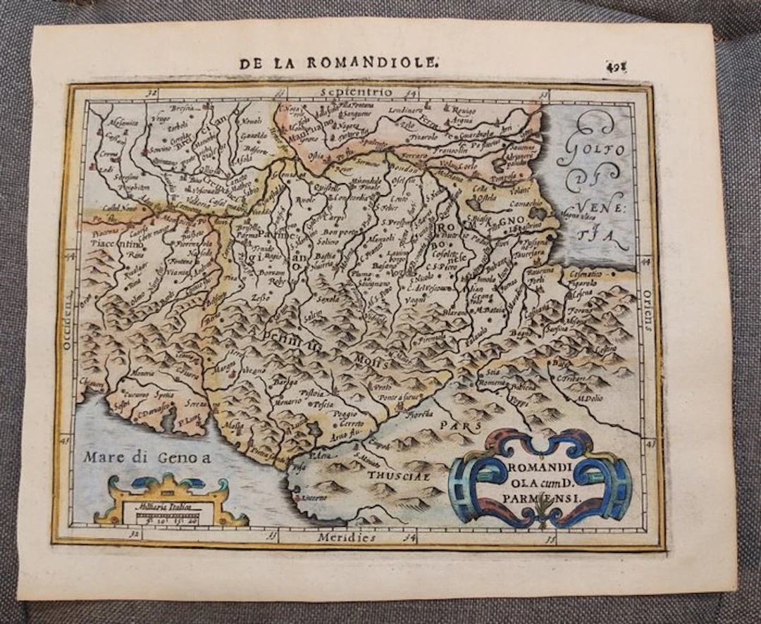
Map of the early 17th century of a part of Northern Italy, Parma, Bologna, Florence, Modena... Subject: Map Country: Europe Geographic specification: Italy / Parma / Bologna / Florence / Modena / Piacenza / Pisa / Apennines Map creator / Publisher: Hondius / Mercator Map title / book: Romandiola cum D Parmense Period: 1601-1620 Condition: Excellent Technique: Copper engraving Additional information: Early 17th century map of a part of Northern Italy, Parma, Bologna, Florence, Modena... Largest image size: 14×18 cm Map color: Hand-coloured later Excellent antique map of Northern Italy, around Parma, Bologna. Florence, Modena, Piacenza, Pisa, Apennines..., based on the early maps of Mercator and Hondius. The map is derived from Mercator’s map of the same region dating from 1595, included in his Atlas. This is the 1613 edition of Hondius’s Atlas Minor, published by Janssonius (Jansson). Image 14x18 cm, sheet 18x22 cm Fast and secure worldwide shipping.
Estimation:€150
Vers la vente aux enchèresVoir tous les objets deCatawikiouLivres, Cartographie & Manuscrits
Estimation:
€150
Présentez votre vente aux enchères à des collectionneurs du monde entier !
Soyez référencé dès maintenant
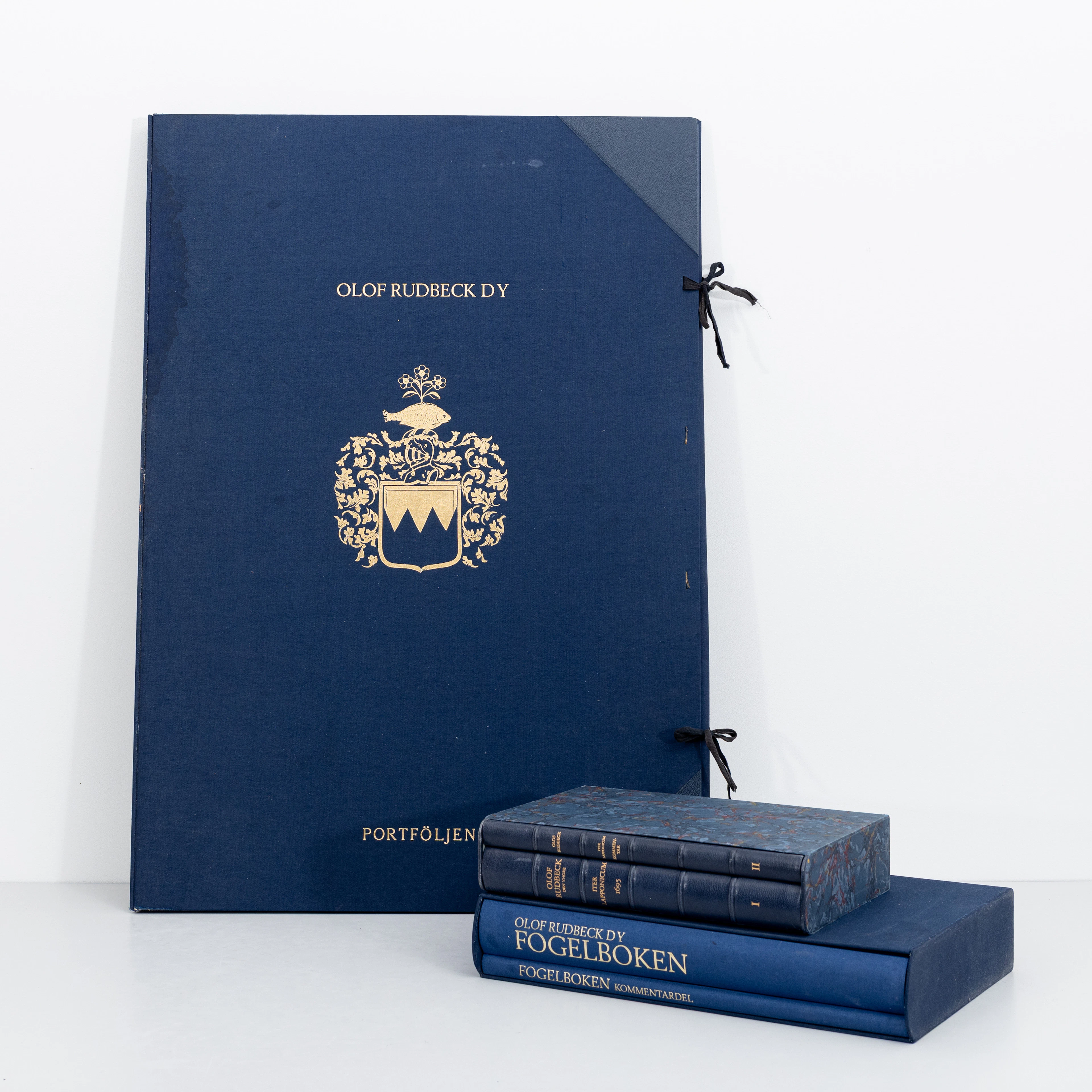
OLOF RUDBECK D.Y. Faksimilutgåvor, portfölj med planscher samt 2 st
09/29/2026
€141.12
Est. : €264.85
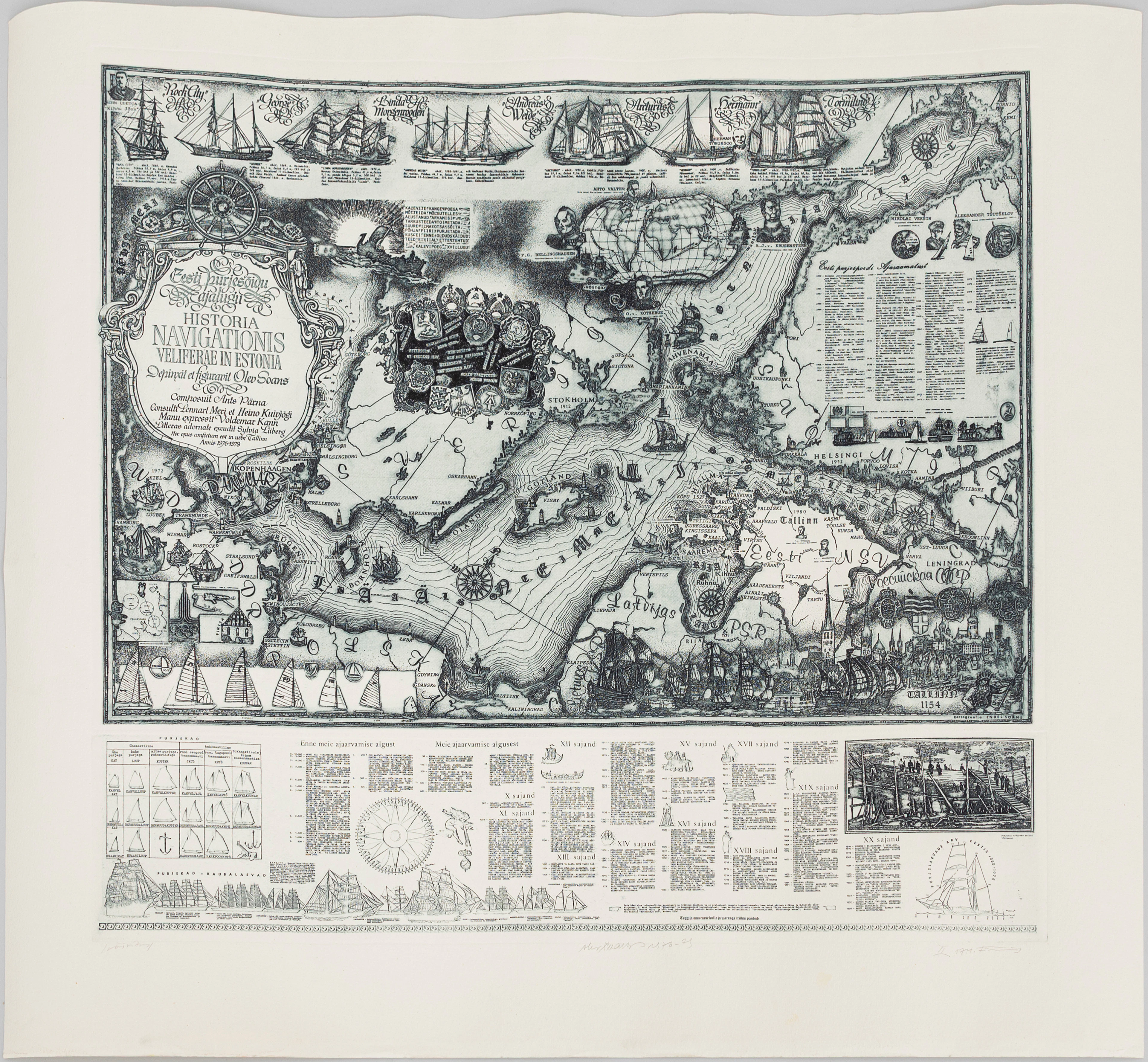
OLEV SOANS (ESTLAND, 1925–1995). "Historia navigationis Velieferae
09/29/2026
€184.07
Est. : €220.71

