








Toutes les enchères / Livres, Cartographie & Manuscrits / Germany - Brandenburg - northeast Germany and northwest...

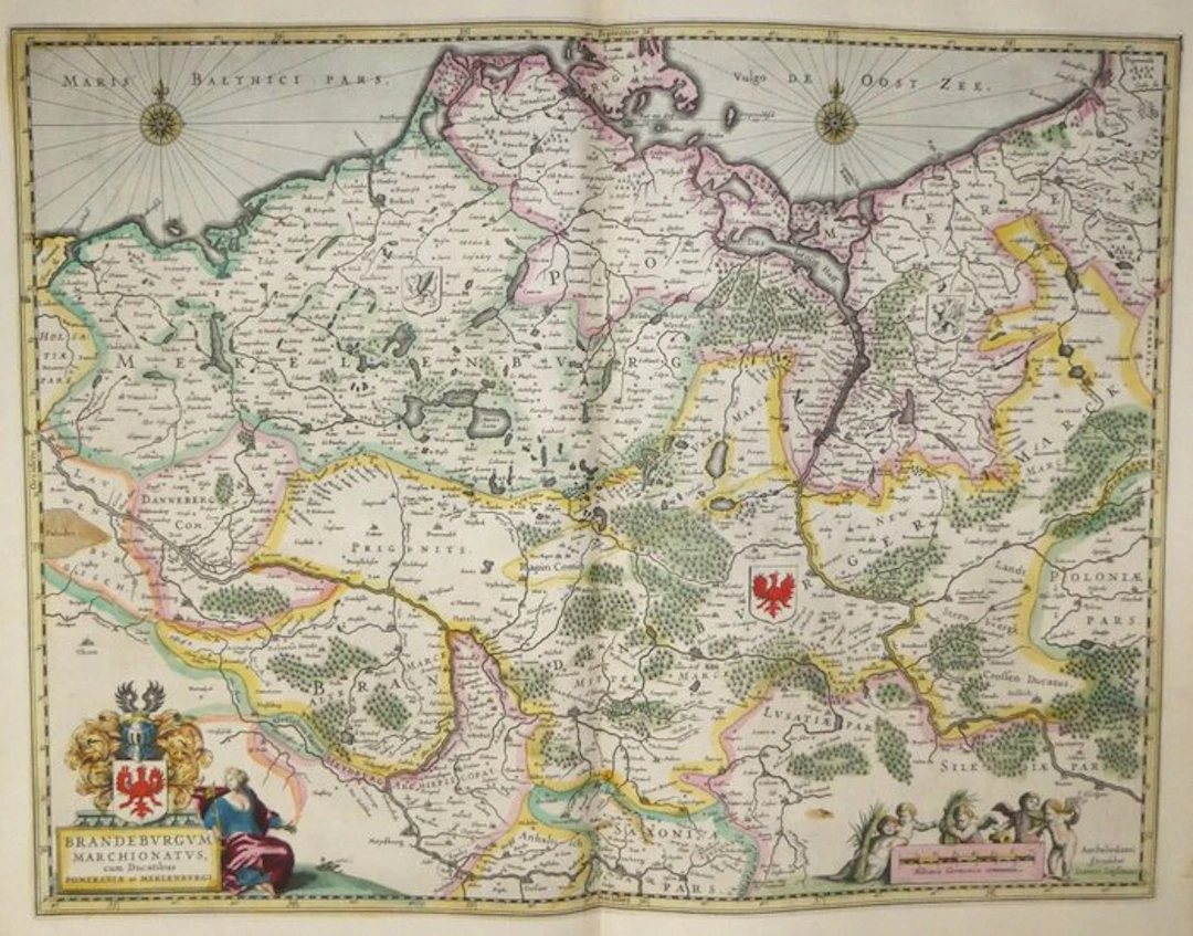
Ancient copper-engraved map enhanced by hand of the Margraviate of Brandenburg and the duchies of Pomerania and Mecklenburg by Johannes Janssonius, published in 1633 in the Mercator-Hondius atlas. There is, in the bottom left, the title cartouche in the shape of a stone plinth, topped by Brandenburg's arms with the red eagle, including helm, mantling and crest. A female figure draped in blue and purple is seated against this pedestal and holds a large gold key. In the bottom right, five putti surrounded by sheaves of reeds frame the scale in common German miles, near the publisher's address in Amsterdam. The Baltic Sea, named “Maris Balthici pars, vulgo De Oost Zee”, is adorned with two wind roses with fleurs-de-lis and rhumb lines. Three coats of arms are placed inland: the red eagle for Brandenburg, and two griffins left in black for Mecklenburg and Pomerania. Forests are depicted by small trees tinted green, and the borders are outlined in yellow, pink and green. You can discern the courses of the Elbe, Oder, Havel and Warthe, the Stettin lagoon (“Das Grosse Haff”), the islands of Rügen and Usedom, and Lake Müritz. Among the towns are Berlin, Brandenburg, Frankfurt on the Oder, Stettin, Stralsund, Rostock, Wismar, Magdeburg and Wittenberg. French text on the verso, “Le Marquizat de Brandenbourg”, pages 497 and 500. - Dimensions: on sheet: 56 x 47.5 cm; on the copper plate (map): 46.9 x 35.3 cm - Condition: Very good overall for a map of this period. There is a vertical central crease, brown damp-stain traces along the upper margin, foxing and small marks. See photos for more details. Atlas Mercator-Hondius - The atlas called “Mercator-Hondius” continues the work of Gerard Mercator, whose copperplates Jodocus Hondius bought back in 1604. This French edition of 1633 is signed by his son Henricus Hondius and his son-in-law Joannes Janssonius, who enriched it with new maps. Johannes Janssonius – Johannes Janssonius (Arnhem, 1588 – Amsterdam, 1664), the son of a printer-bookseller, settled in Amsterdam after marrying in 1612 Elisabeth Hondius, daughter of cartographer Jodocus Hondius. Allied with his brother-in-law Henricus Hondius, he continued and expanded in the 1630s the Mercator-Hondius atlas, which became the Atlas Novus, then a multi-volume Atlas Major. He was the principal competitor of the Blaeu house in the Amsterdam atlas market.
Estimation:€200
Vers la vente aux enchèresVoir tous les objets deCatawikiouLivres, Cartographie & Manuscrits
Estimation:
€200
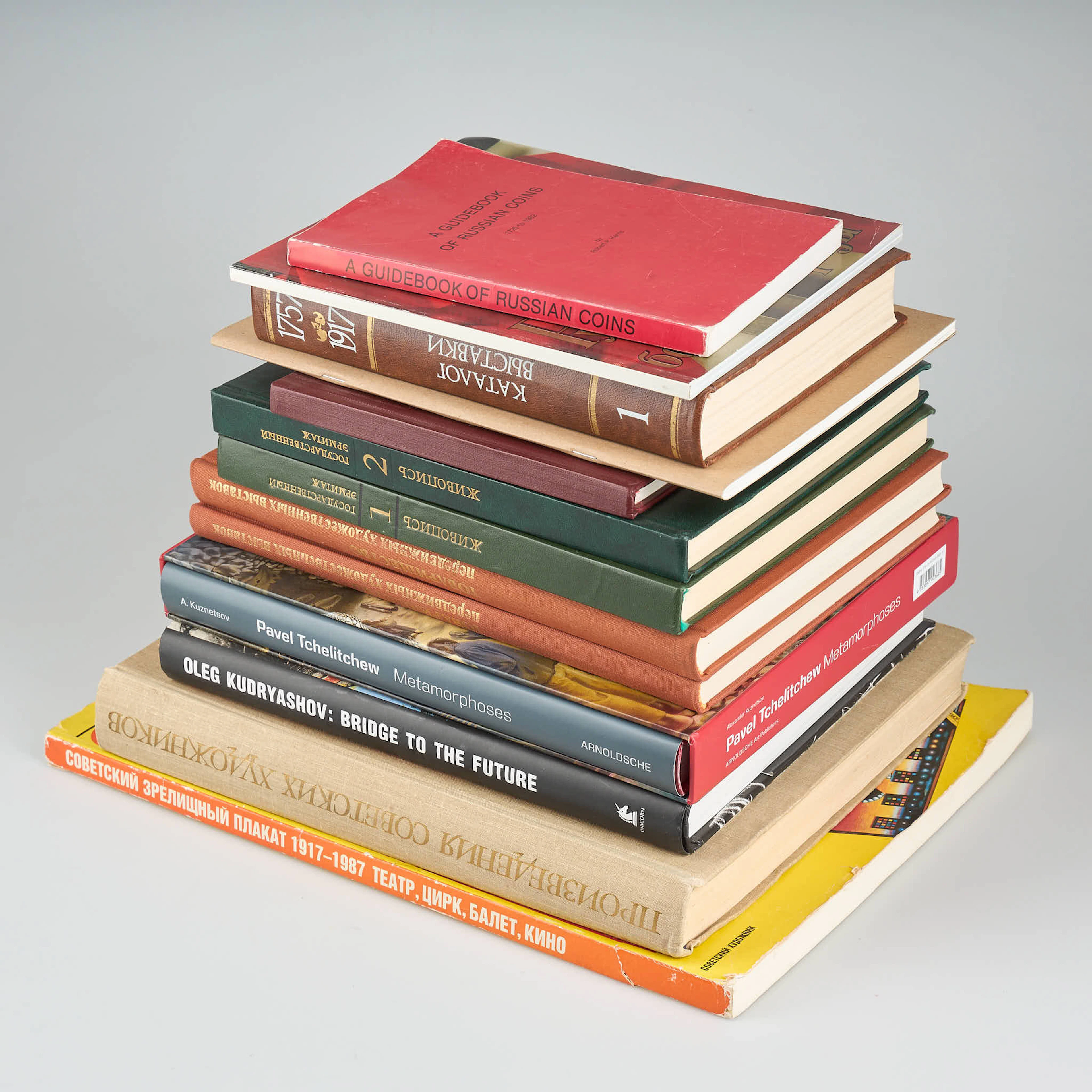
BÖCKER, 13 st, rysk/sovjetisk facklitteratur.
10/21/2026
€30
Est. : €150
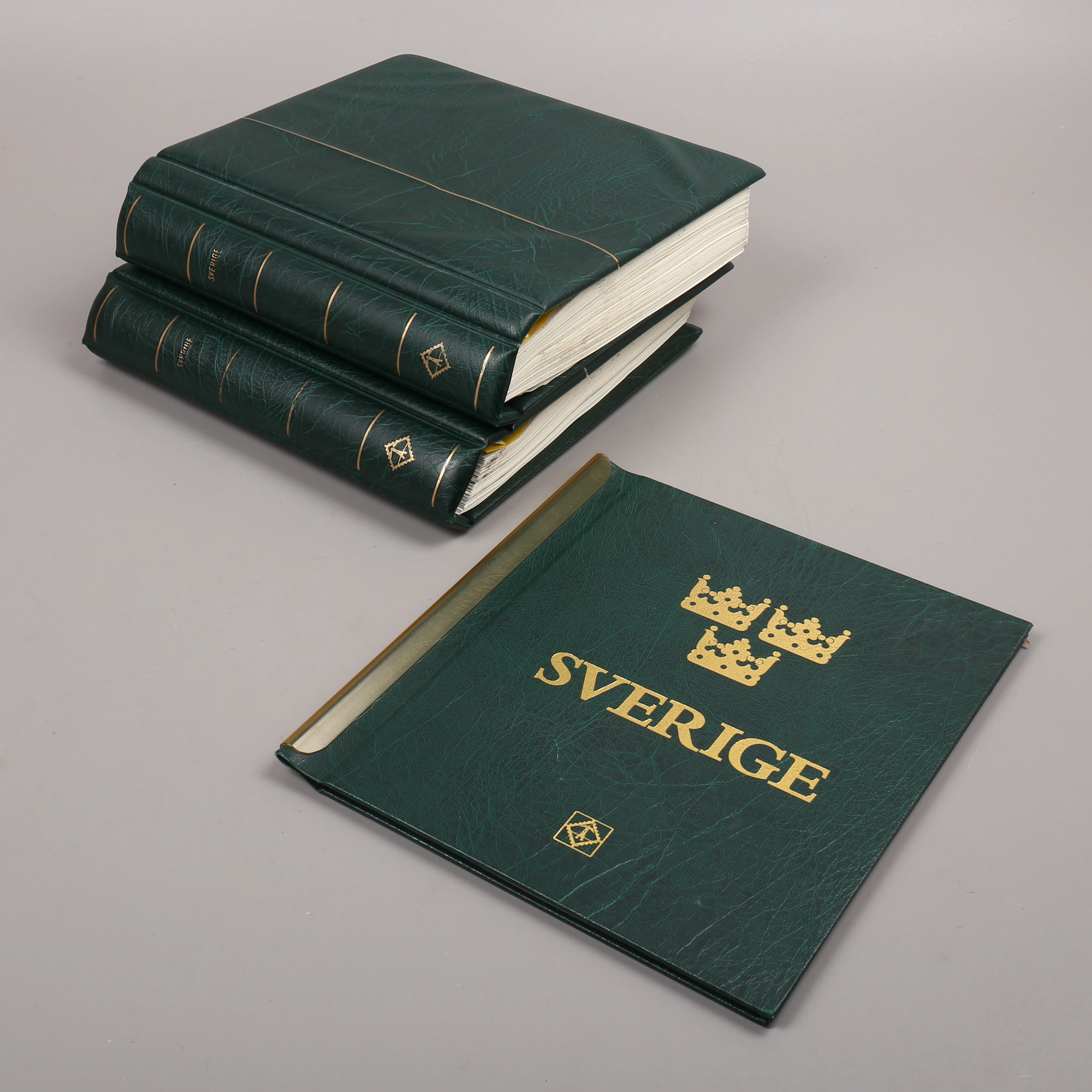
FRIMÄRKSSAMLING, 3 st album, Sverige, 1976-2010.
10/21/2026
€91.29
Est. : €89.88
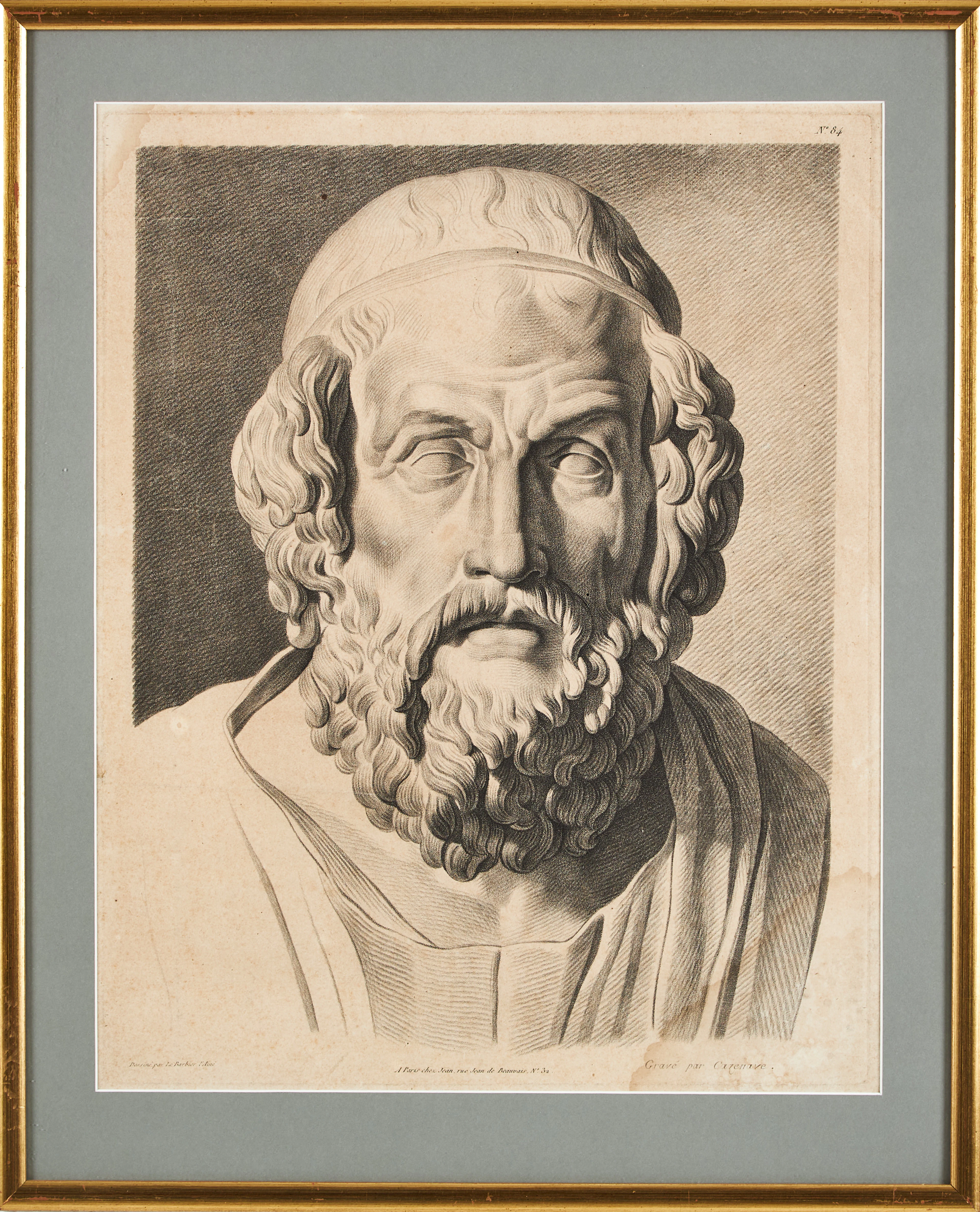
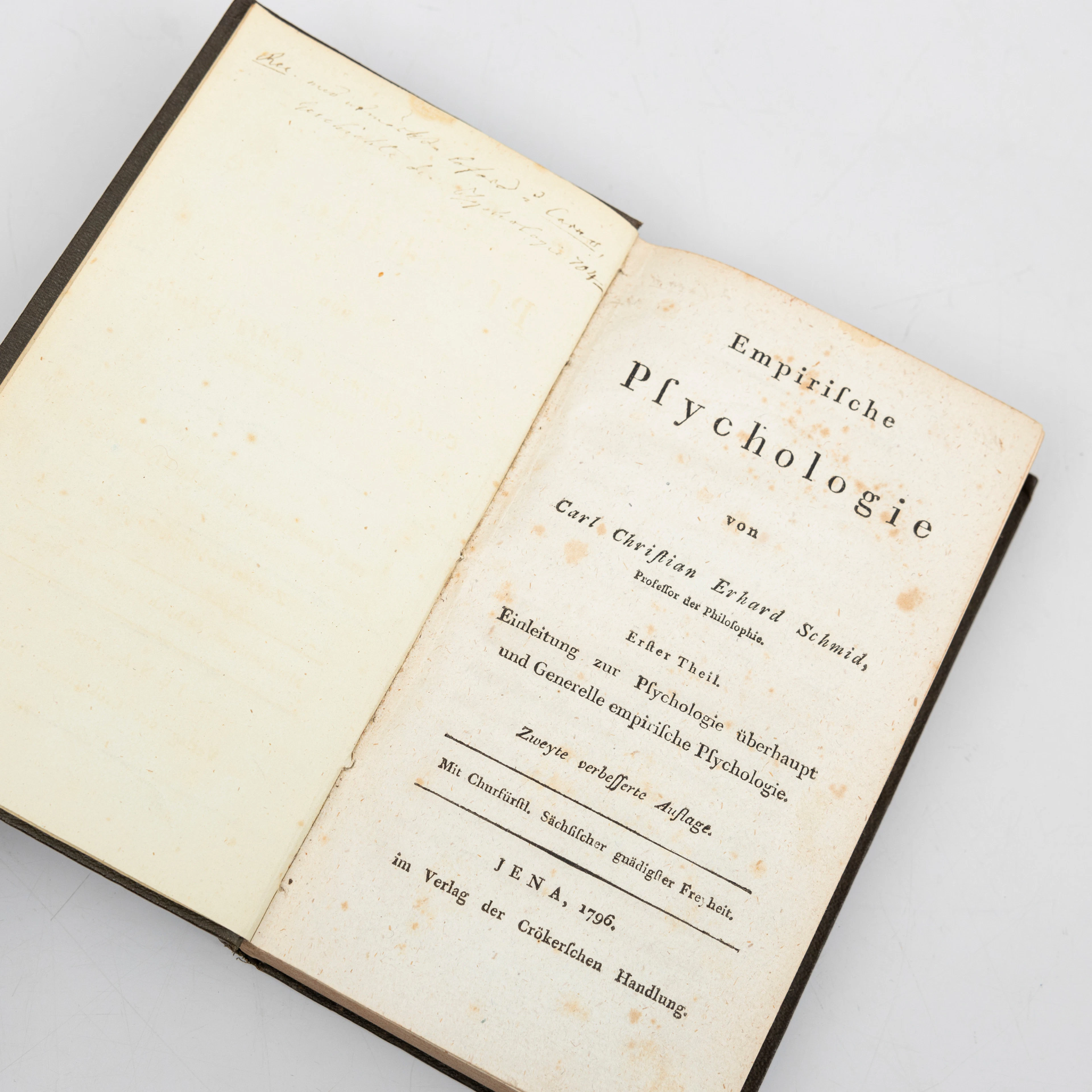
CARL CHRISTIAN ERHARD SCHMID. "Empirische Psychologie“, Erfter Theil
10/21/2026
€44.97
Est. : €134.37




OCT 27 | 4:00 PM
Présentez votre vente aux enchères à des collectionneurs du monde entier !
Soyez référencé dès maintenantEn vous abonnant, vous acceptez la politique de confidentialité. Désabonnez-vous à tout moment.
Barnebys HQ
Brahegatan 10
BOX 5038
114 37 Stockholm
