






Présentez votre vente aux enchères à des collectionneurs du monde entier !
Soyez référencé dès maintenantEn vous abonnant, vous acceptez la politique de confidentialité. Désabonnez-vous à tout moment.
Barnebys HQ
Brahegatan 10
BOX 5038
114 37 Stockholm
Toutes les enchères / Livres, Cartographie & Manuscrits / Gastaldi's Wall Map of Africa - the single most important and influential

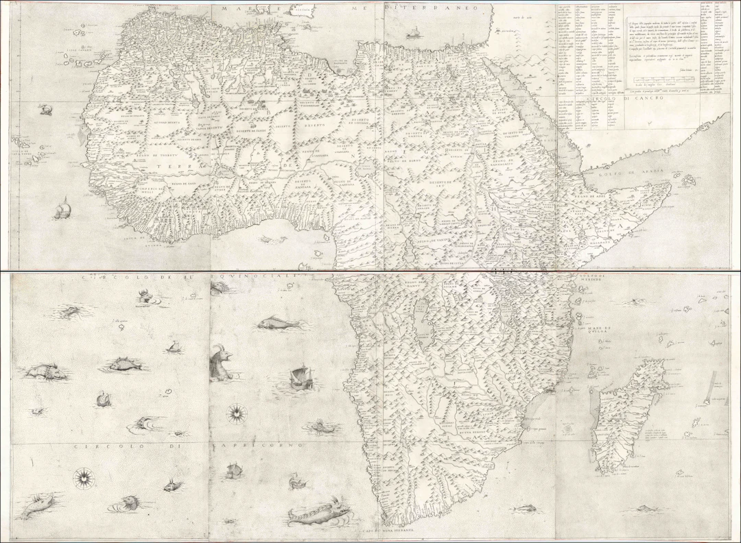
GASTALDI, Giacomo (ca. 1500-1566). Il disegno della geografia moderna de tutta la parte dell' Africa. Venice: Fabio Licinio, 1564. First edition, first state. Engraved map in 8 sheets, joined in two horizontal sections (upper: 20 3/4" x 57 3/4", lower: 42" x 56"; framed: 46 1/2" x 62 1/4"); the bottom-left sheet in facsimile (noncartographic; as in 8 of the 20 known examples of the map). Framed and glazed. A little shaved in the joining. "Probably the single most important and influential map of Africa of the sixteenth century" (Betz) Giacomo Gastaldi's (ca. 1500-1566) 1564 wall map of Africa, engraved and published by his collaborator Fabio Licinio, is a cornerstone in the cartographic representation of the African continent. Although its publication follows the maps by Paolo Forlani from 1562 and 1563, it is believed to have been completed years prior. Bifolco & Ronca (ad loc.) assert that publication was delayed until 1564, specifically to dedicate it to Maximilian II of Habsburg (1527-1576), who was proclaimed King of the Holy Roman Empire in that year. Correcting his much smaller 1554 map, Gastaldi improved the representation of Africa's west coast, moving the southern tip farther west. (In Münster et al. the Cape of Good Hope was some 10 degrees too far east.) Gastaldi included the Zembere River originating from the western Ptolemaic lake, traversing unnamed mountains, and eventually bifurcating into the Zambezi and Limpopo rivers towards the southeast coast of Africa. In the interior of Southern Africa, the ancient city of Great Zimbabwe is depicted as the twin cities of Zimbro and Simbaoe, located near well-known gold mines. In West Africa, the Niger River is illustrated flowing westward from Lago del Niger to the Atlantic, passing through lakes akin to Lake Chad and another labeled Lago Guber. The map draws on a multitude of sources, including Gastaldi's own maps prepared for his Geografia di Tolomeo (1548; see our examples), the painted wall map at Palazzo Ducale (1549), and maps prepared for Ramusio's Navigationi et Viaggi (first published 1550; see our examples). Moreover, topographic information was extracted from Volume I of Ramusio's work, supplemented by travel accounts from Francisco Alvares (Verdadeira informacão das terras do Preste João das Indias, Lisbon, 1540) and João de Barros (Décadas da Asia, 1552) for the interior lakes region, and Duarte (Odoardo) Barbosa's account of Southeast Africa. According to Sims (2003, unpublished), Gastaldi also relied on nautical charts, evidently from Portuguese sources. Consequently, Gastaldi's map is the quintessential printed representation of the African continent from the XVIc, influencing many subsequent maps, such as Gerard de Jode (1569), Giovanni Francesco Camocio (1570-75), Donato Bertelli (1573), and Cornelis de Jode (1596). The census in Bifolco-Ronca identifies 19 examples (of which 7, like ours, lack the noncartographic bottom-left sheet) of the first state; the second state is easily identified by the addition of three new cartouches and an updated publication date (1565). Betz 9; Bifolco-Ronca I.93 (pp. 430-433).
Estimation:€175,680.2
Vers la vente aux enchèresVoir tous les objets deArader GalleriesouLivres, Cartographie & Manuscrits
Estimation:
€175,680.2
Présentez votre vente aux enchères à des collectionneurs du monde entier !
Soyez référencé dès maintenant
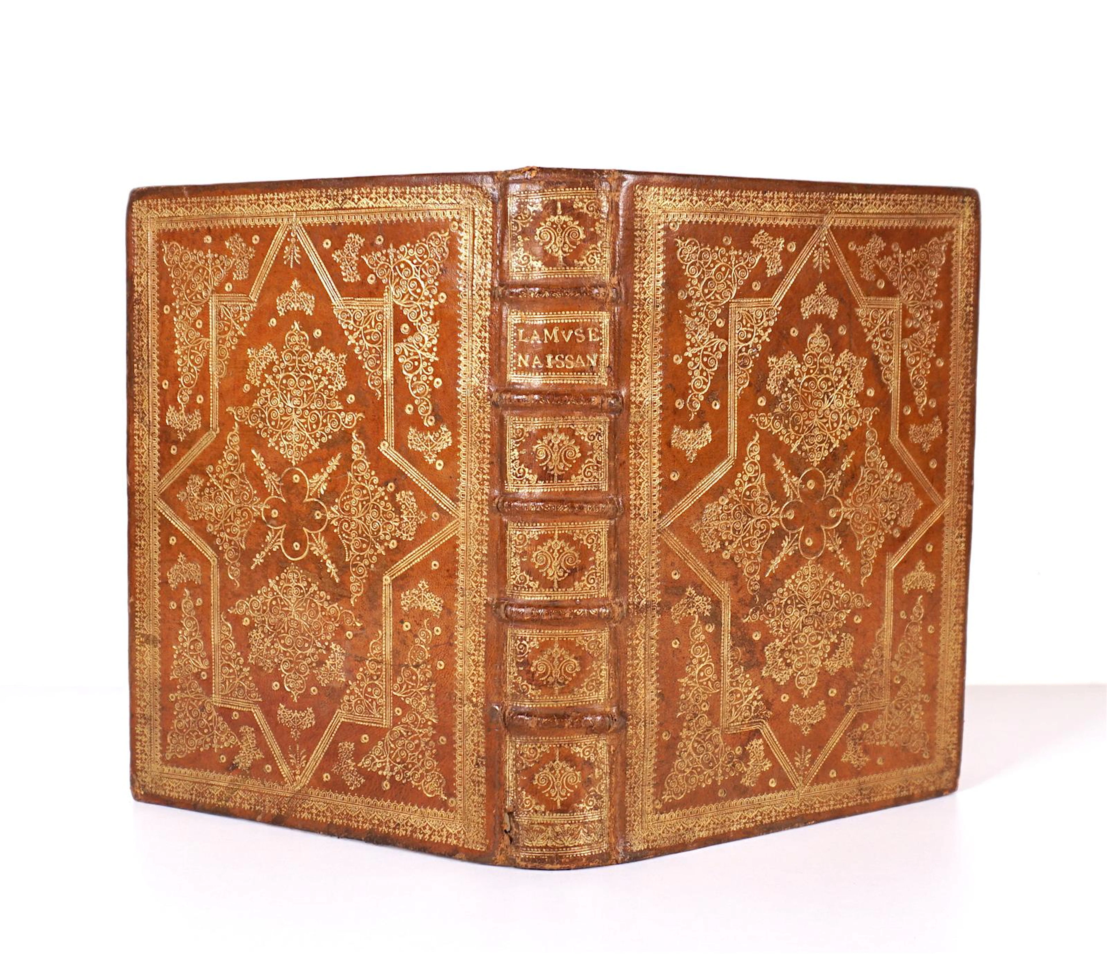
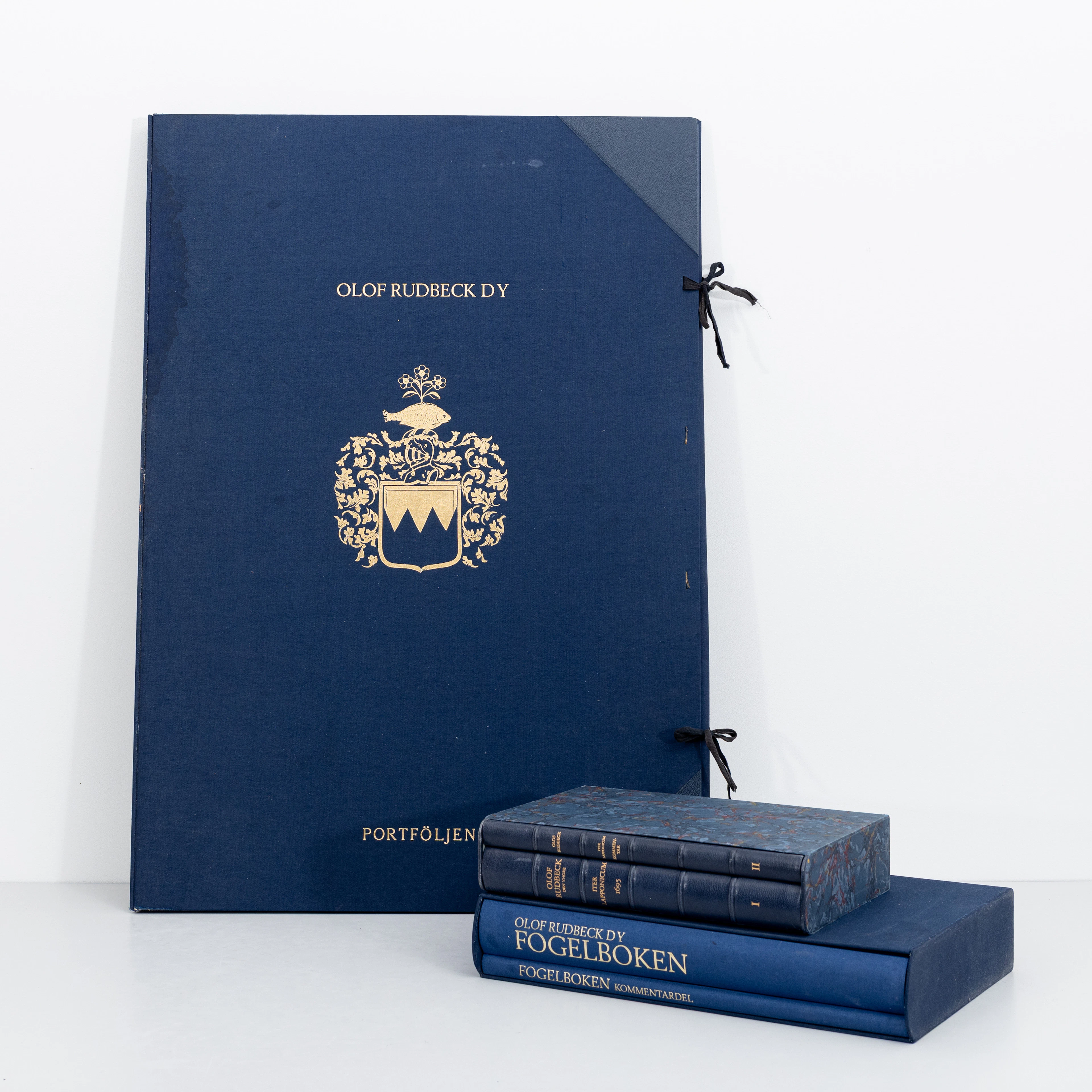
OLOF RUDBECK D.Y. Faksimilutgåvor, portfölj med planscher samt 2 st
09/29/2026
€141.12
Est. : €264.85
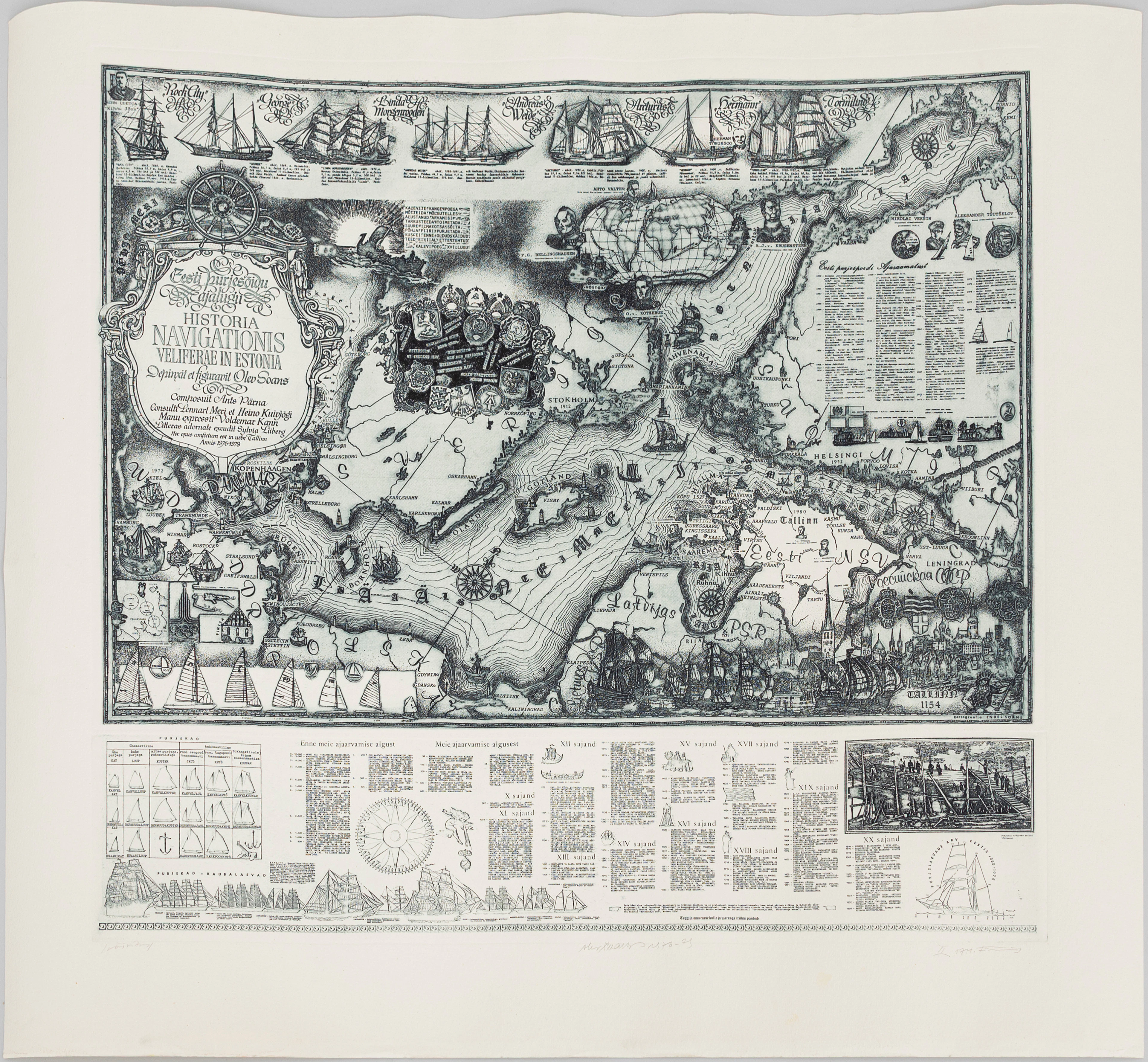
OLEV SOANS (ESTLAND, 1925–1995). "Historia navigationis Velieferae
09/29/2026
€184.07
Est. : €220.71

