






Présentez votre vente aux enchères à des collectionneurs du monde entier !
Soyez référencé dès maintenantEn vous abonnant, vous acceptez la politique de confidentialité. Désabonnez-vous à tout moment.
Barnebys HQ
Brahegatan 10
BOX 5038
114 37 Stockholm
Toutes les enchères / Livres, Cartographie & Manuscrits / Faden's Plan of the City and Environs of Philadelphia, 1777

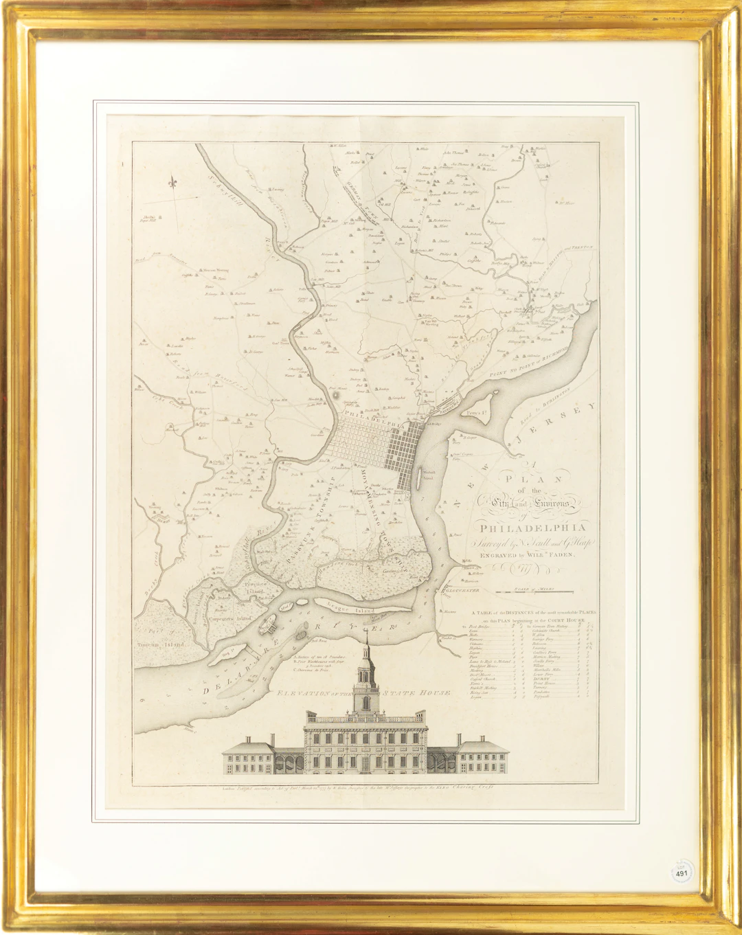
FADEN, William (1749 - 1836). A Plan of the City and Environs of Philadelphia. Engraved map. London, 1777. 26 1/2” x 20” visible, 36” x 29” framed. A rare and important map of Philadelphia published during the American Revolution. A fine engraved elevation view of the State House is here presented at the bottom of the image. Faden's map draws on and improves upon Scull and Heap's 1752 survey. Given the early revolutionary activity in the city, including the signing of the Declaration of Independence in July 1776, there was much demand in England for an updated map of Philadelphia. Despite these spirited beginnings, British General William Howe succeeded in capturing the city in the Fall of 1777. Nebenzahl, Atlas of the American Revolution 130.
Estimation:€13,176.01
Vers la vente aux enchèresVoir tous les objets deArader GalleriesouLivres, Cartographie & Manuscrits
Estimation:
€13,176.01
Présentez votre vente aux enchères à des collectionneurs du monde entier !
Soyez référencé dès maintenant
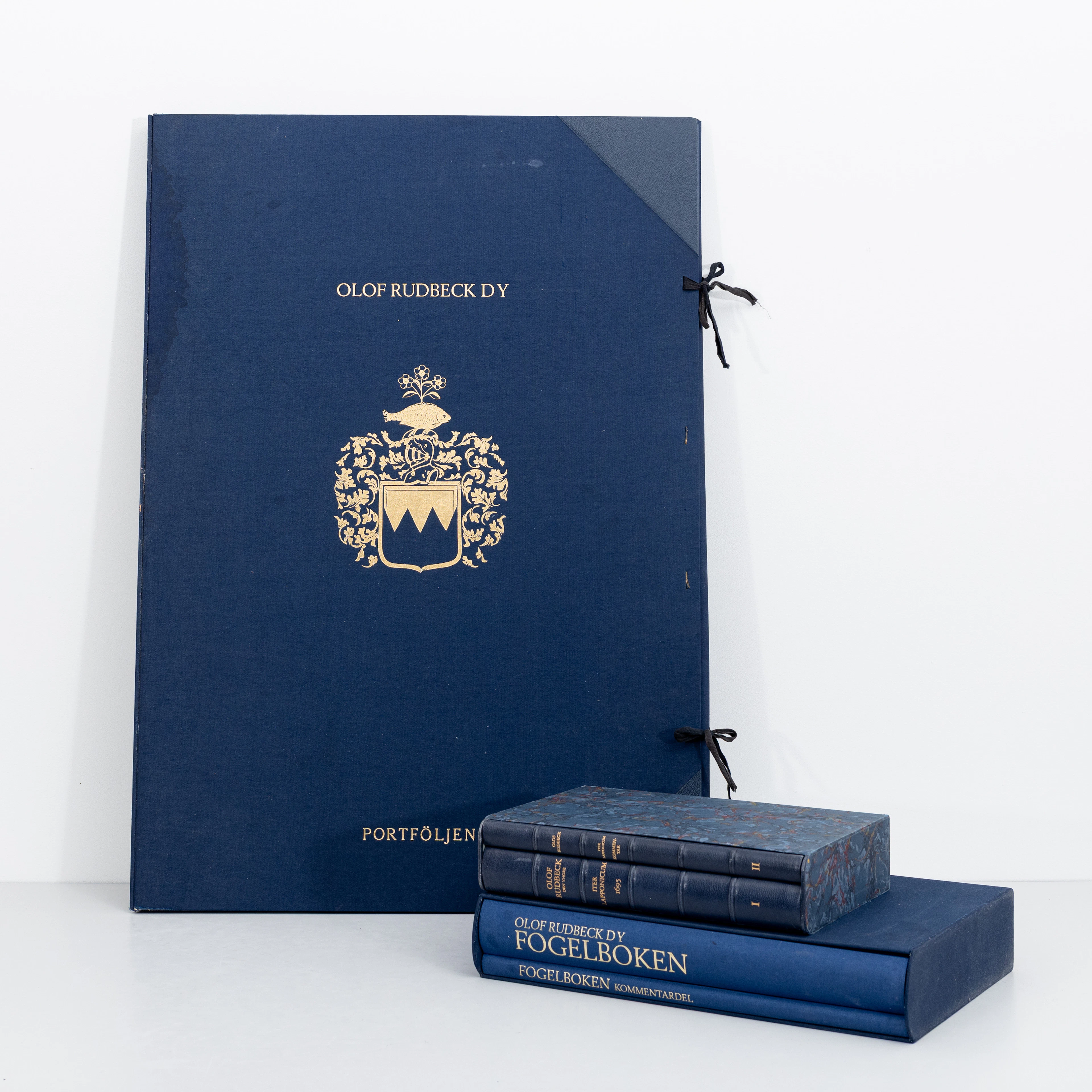
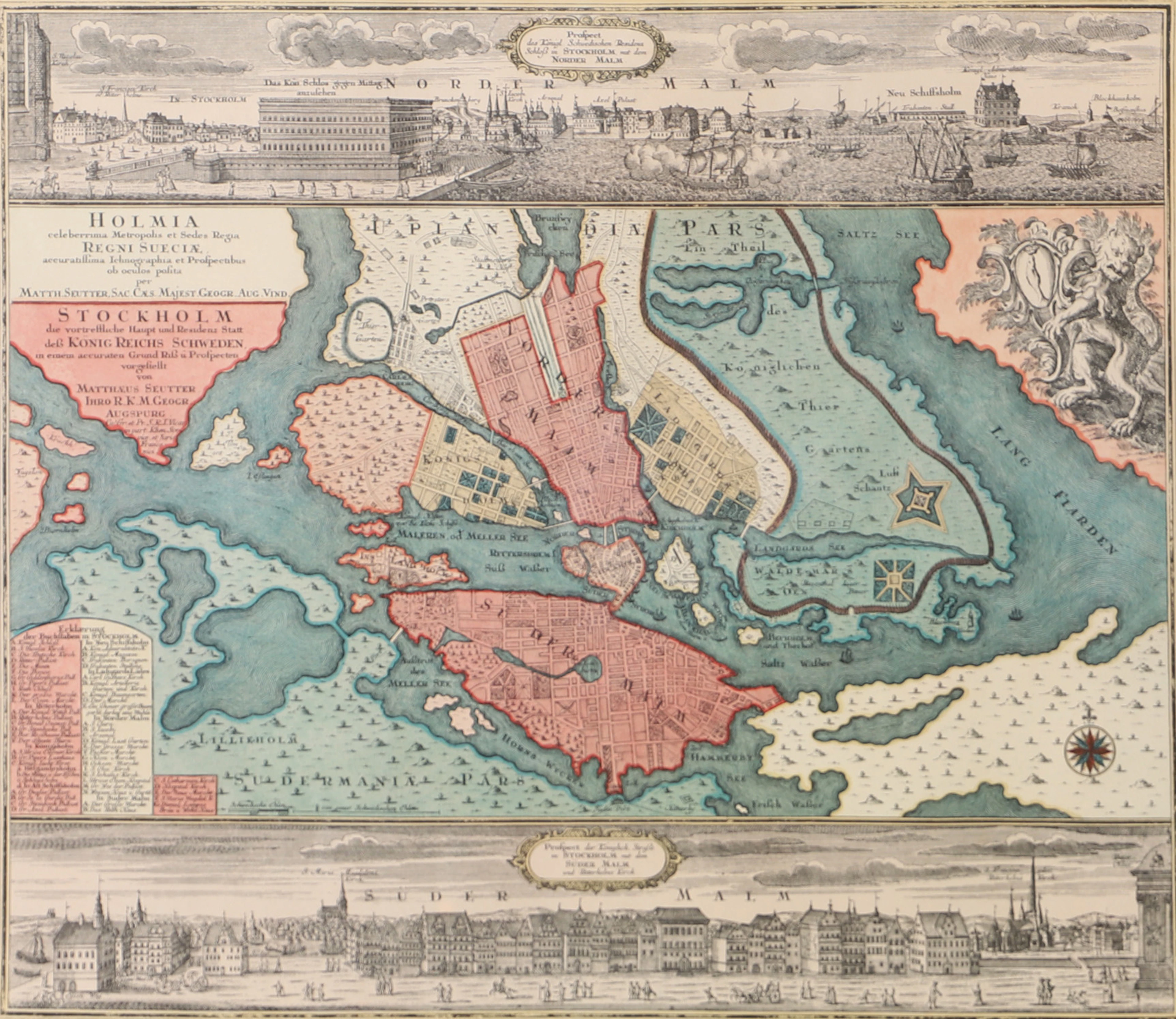
OLOF RUDBECK D.Y. Faksimilutgåvor, portfölj med planscher samt 2 st
09/29/2026
€141.12
Est. : €264.85
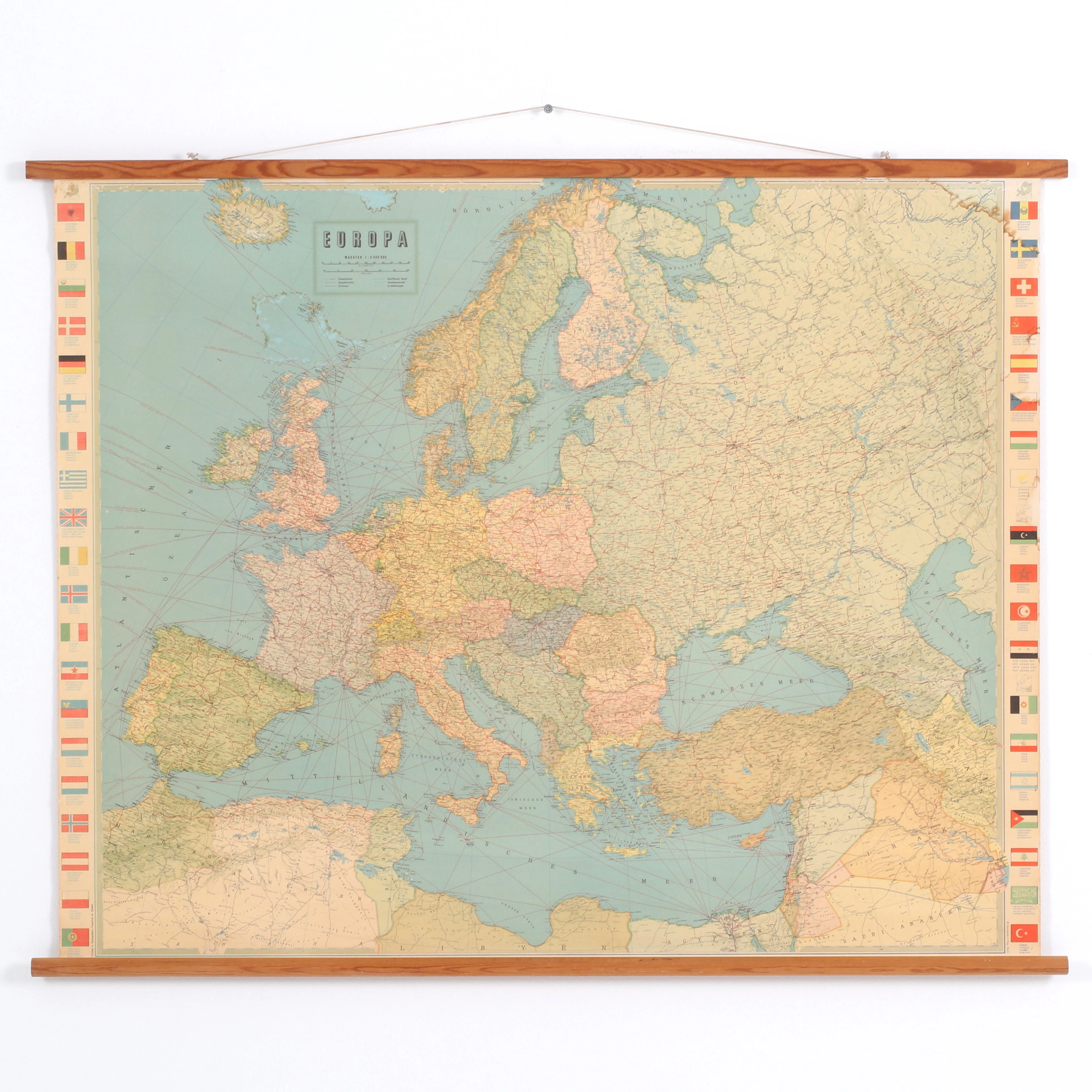
KARTA, Europa, Kümmerly & Frey, Bern, Schweiz, 1900-talets första hälft.
09/29/2026
€26.46
Est. : €70.62

