








Toutes les enchères / Livres, Cartographie & Manuscrits / Europe - Balkans

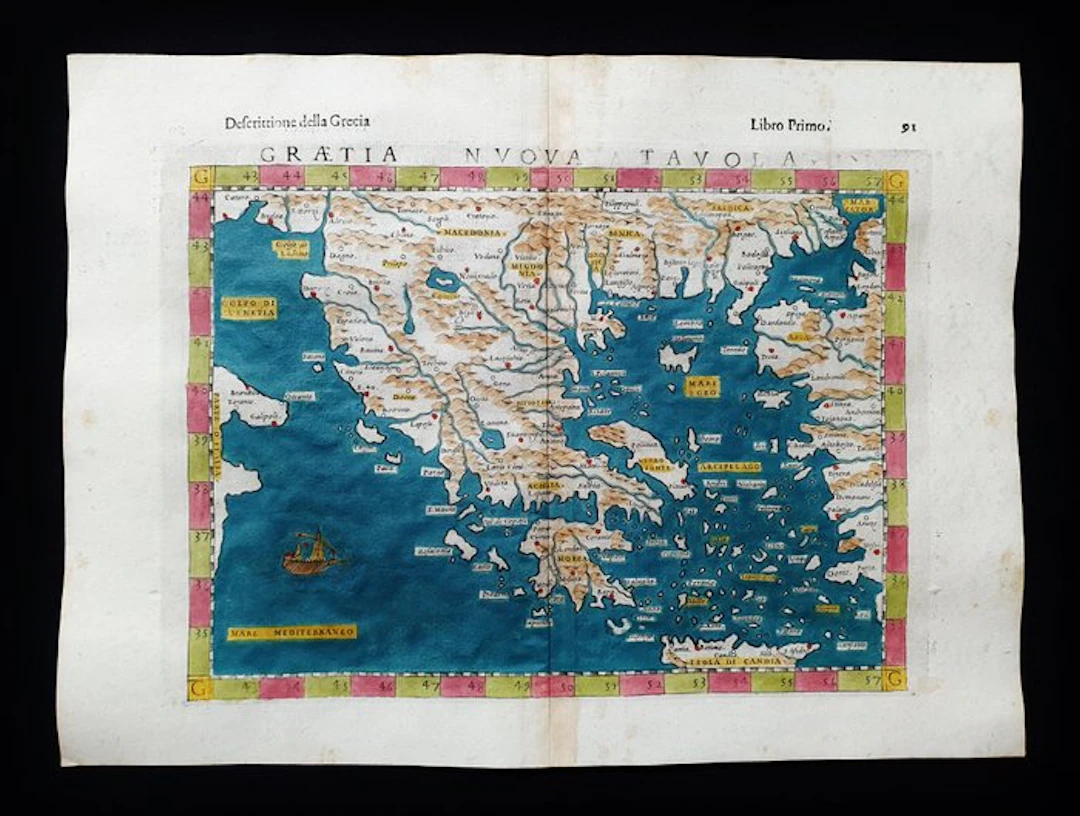
- This Geographical Map is an original copper engraving from 1599 (16th century...). - This is the rare Tolomea edition of MAGINI, ROSACCIO & SESSA, published in 1599 in their very rare and fantastic work that bears the name: "The Geography of Claudius Ptolemy the Alexandrian, Translated from Greek into the Italian vernacular language, by Girolamo Ruscelli, and now newly enlarged by Gioseffo Rosaccio....." - Beautiful map printed in Venice, with large margins, excellent aquarellatura, and very well detailed in every point. - Condition: the conditions are very good as shown in the photo, especially considering its age. - The overall measurements of the map are: 34 cm x 25 cm
Estimation:€200
Vers la vente aux enchèresVoir tous les objets deCatawikiouLivres, Cartographie & Manuscrits
Estimation:
€200
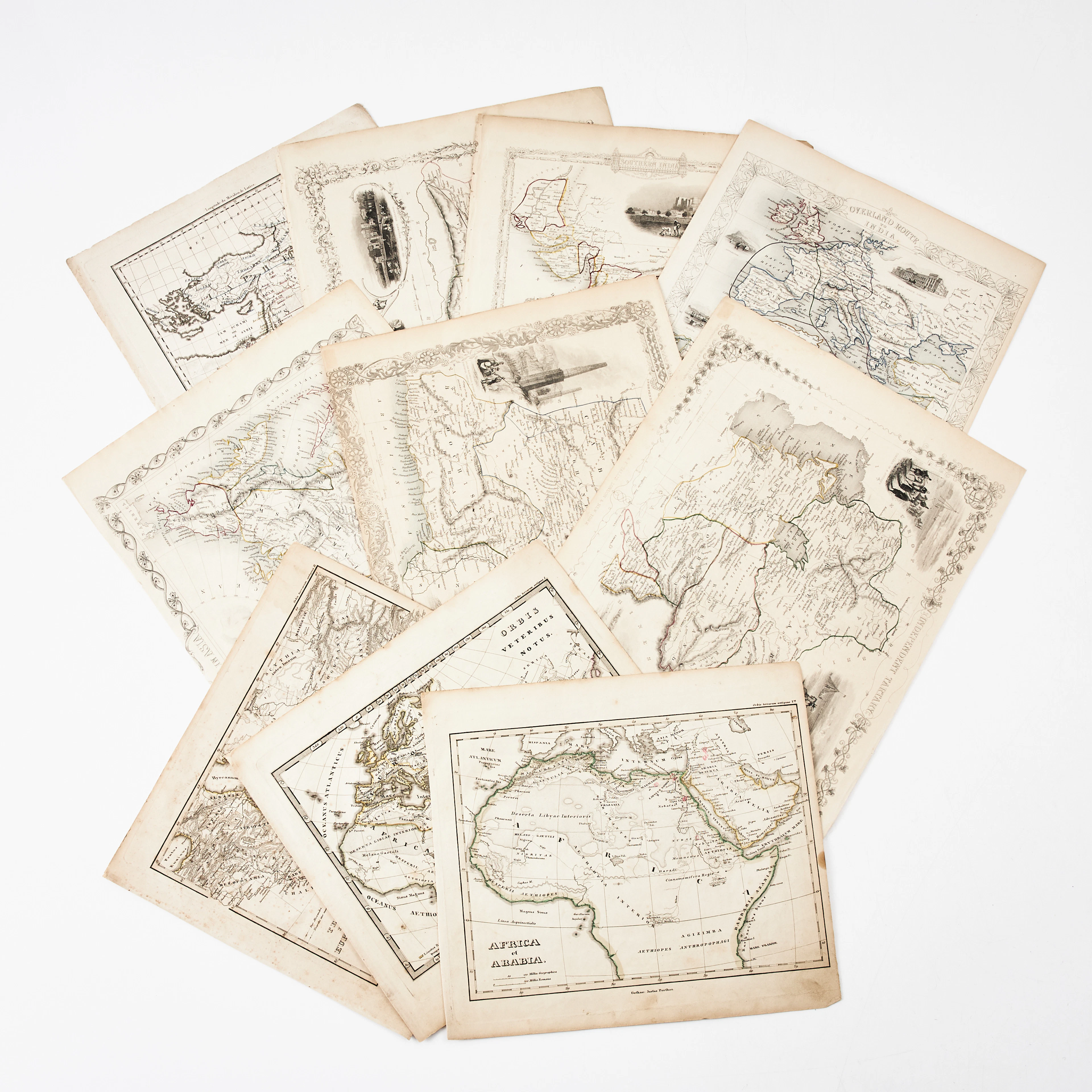
KARTOR 10 ST, bl.a. INDIEN, AFRIKA m.fl., 1800-tal.
10/18/2026
€26.96
Est. : €134.66
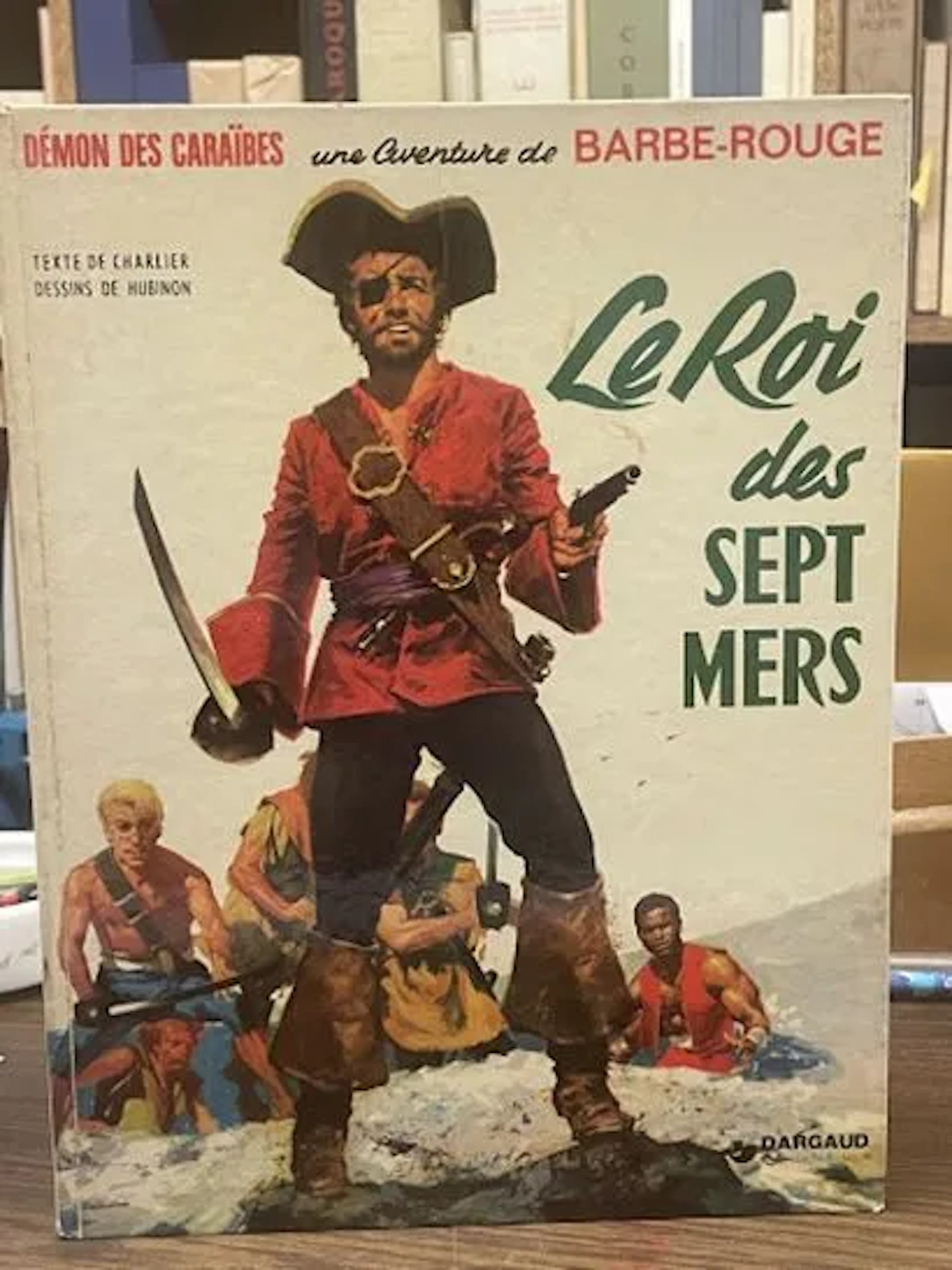
BD Barbe-Rouge - Le Roi des Sept Mers - Réédition Dargaud 19 - Lot 72
10/18/2026

€5
Est. : €15
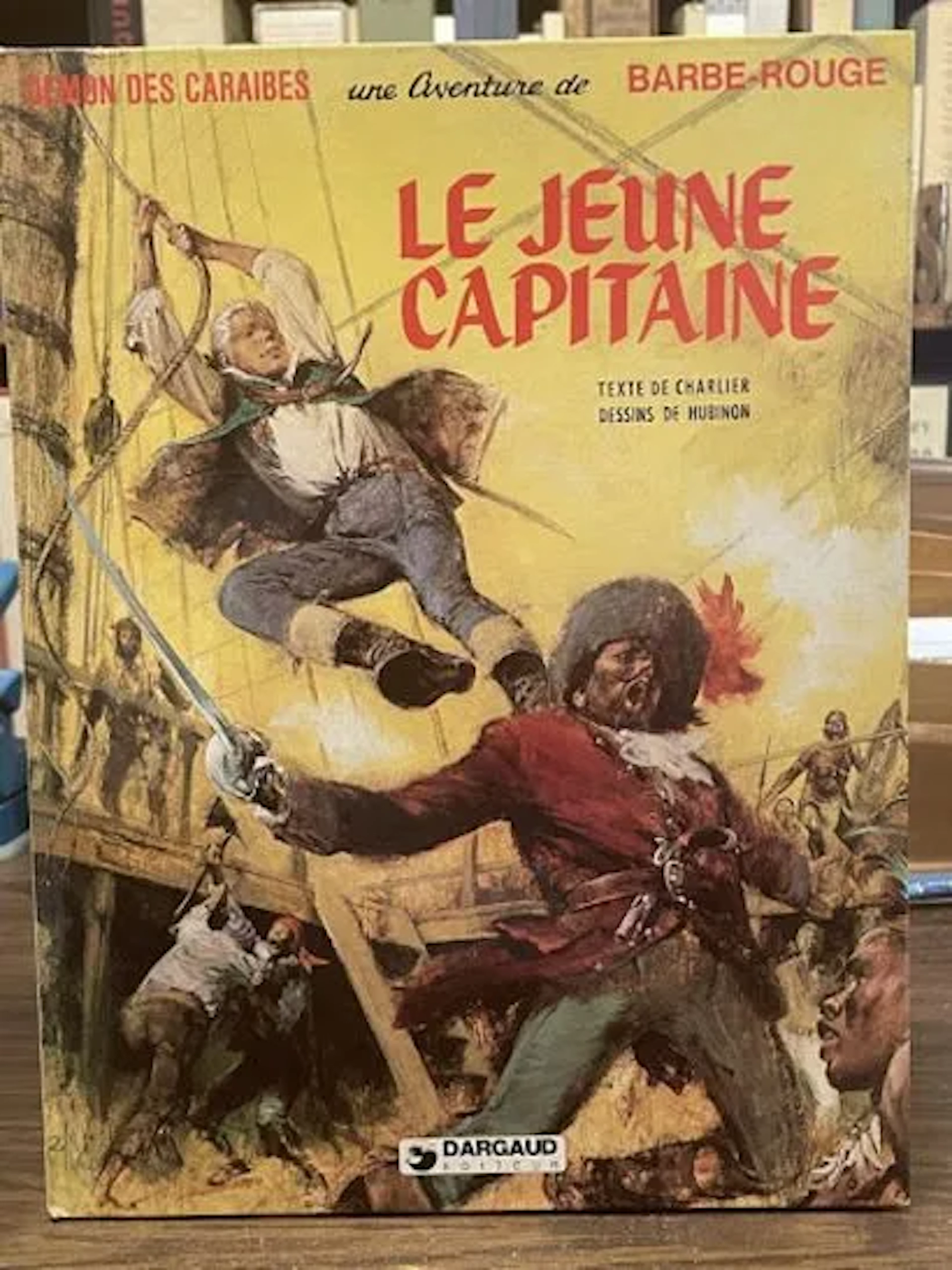
Redbeard Comic Book - The Young Captain - Dargaud Reprint, 1 - Lot 73
10/18/2026
€5
Est. : €15
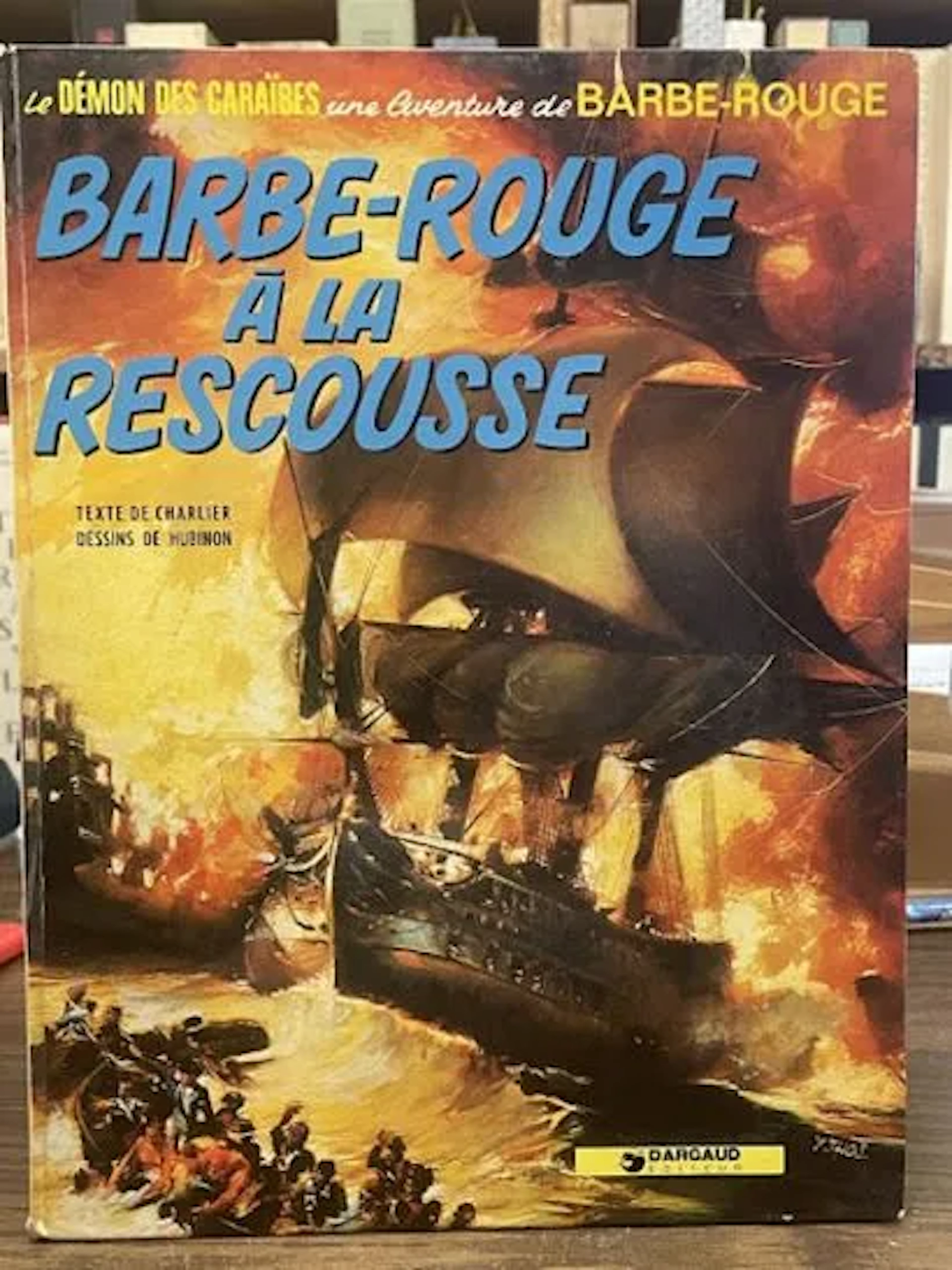
Redbeard Comic Book - Redbeard to the Rescue - Dargaud Repri - Lot 79
10/18/2026
€3
Est. : €15



OCT 23 | 8:00 AM
Présentez votre vente aux enchères à des collectionneurs du monde entier !
Soyez référencé dès maintenantEn vous abonnant, vous acceptez la politique de confidentialité. Désabonnez-vous à tout moment.
Barnebys HQ
Brahegatan 10
BOX 5038
114 37 Stockholm
