









Toutes les enchères / Livres, Cartographie & Manuscrits / Czechia - World; Václsava Merklassa - Maly zemepisny - 1851-1860

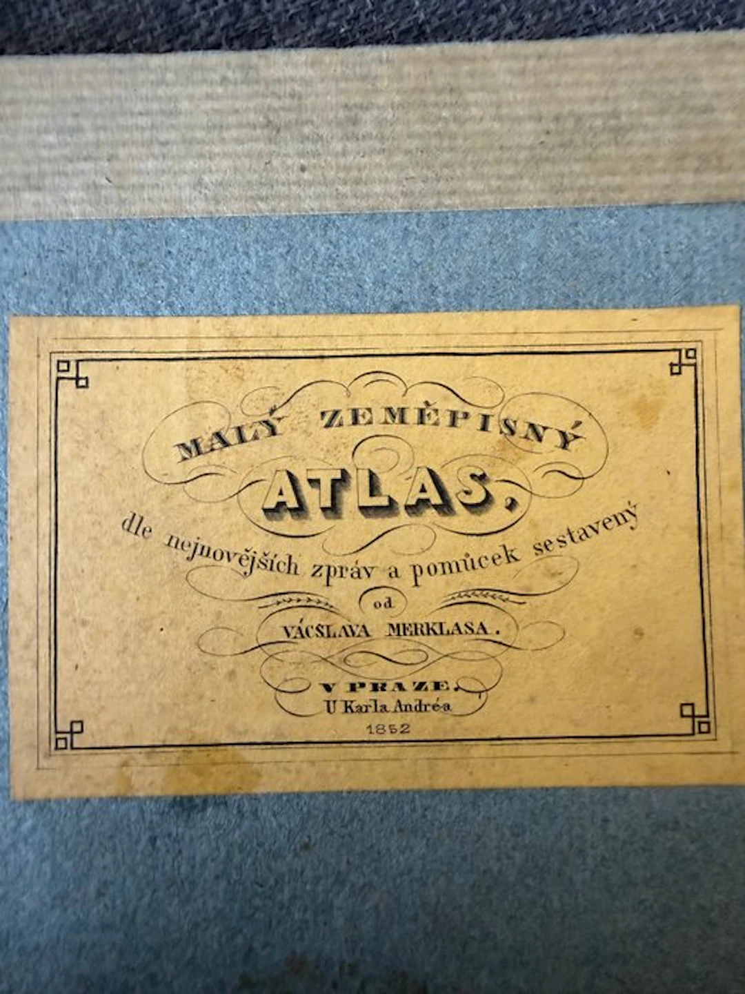
Rare mid-19th-century atlas: Malý zeměpisný atlas compiled by Václav Merklas, published in Prague (Praze) by Karel André in 1852. This work belongs to the earliest geographical atlases in the Czech language, arising during the period of the national revival. The atlas contains various maps of the world, Europe and individual regions. The maps are printed as engravings and hand-colored. Contents: • world map (Eastern and Western hemispheres) • Europe and various countries/regions • o.a. maps of the Netherlands, Scandinavia and Central Europe Condition: Reasonable condition given the age: • original (simple) cardboard cover present • usage marks, discoloration and foxing • some light tears at the edges of the maps • paper predominantly sturdy • complete copy 25 maps/pages
Estimation:€150
Vers la vente aux enchèresVoir tous les objets deCatawikiouLivres, Cartographie & Manuscrits
Estimation:
€150
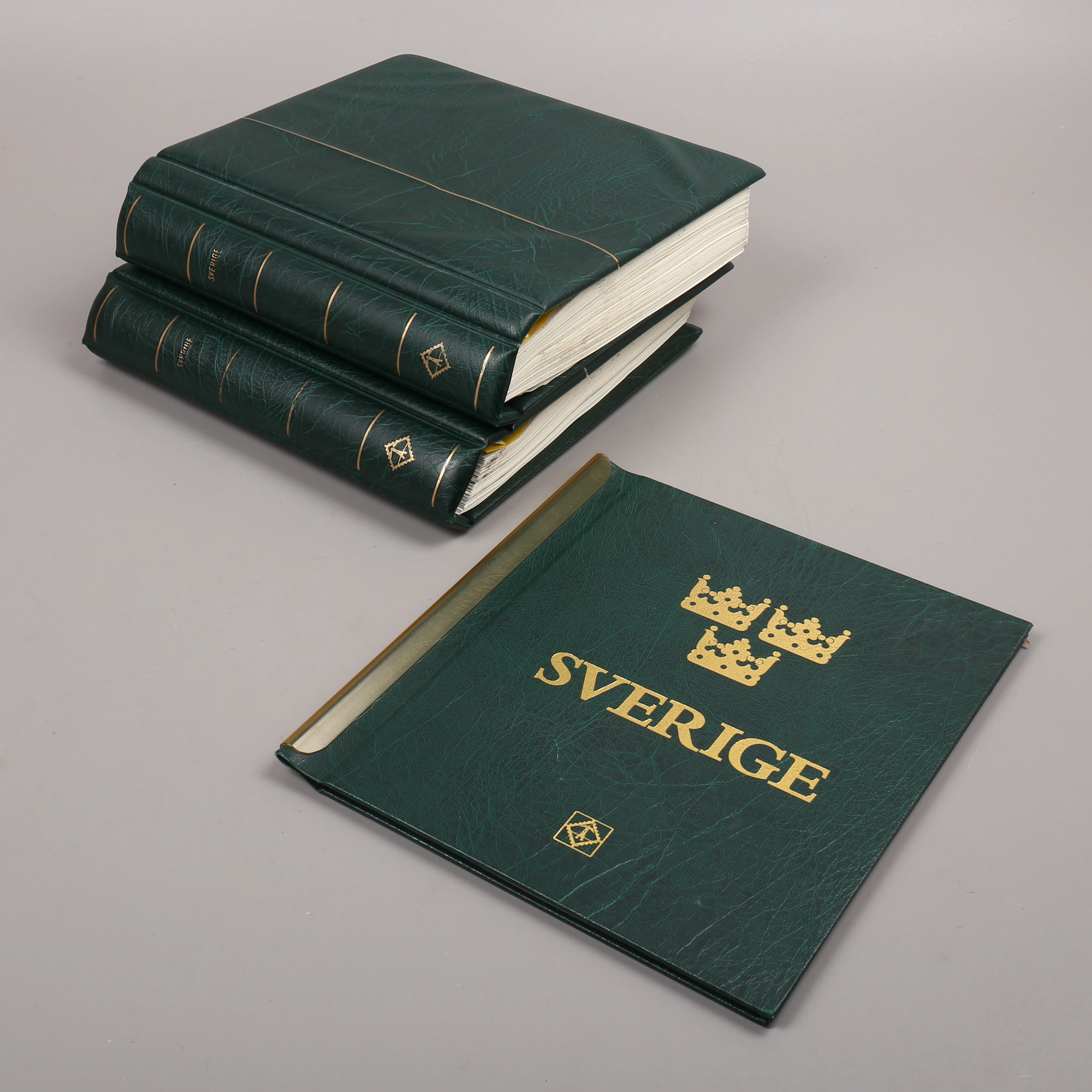
FRIMÄRKSSAMLING, 3 st album, Sverige, 1976-2010.
10/21/2026
€91.29
Est. : €89.88

CARL CHRISTIAN ERHARD SCHMID. "Empirische Psychologie“, Erfter Theil
10/21/2026
€44.97
Est. : €134.37
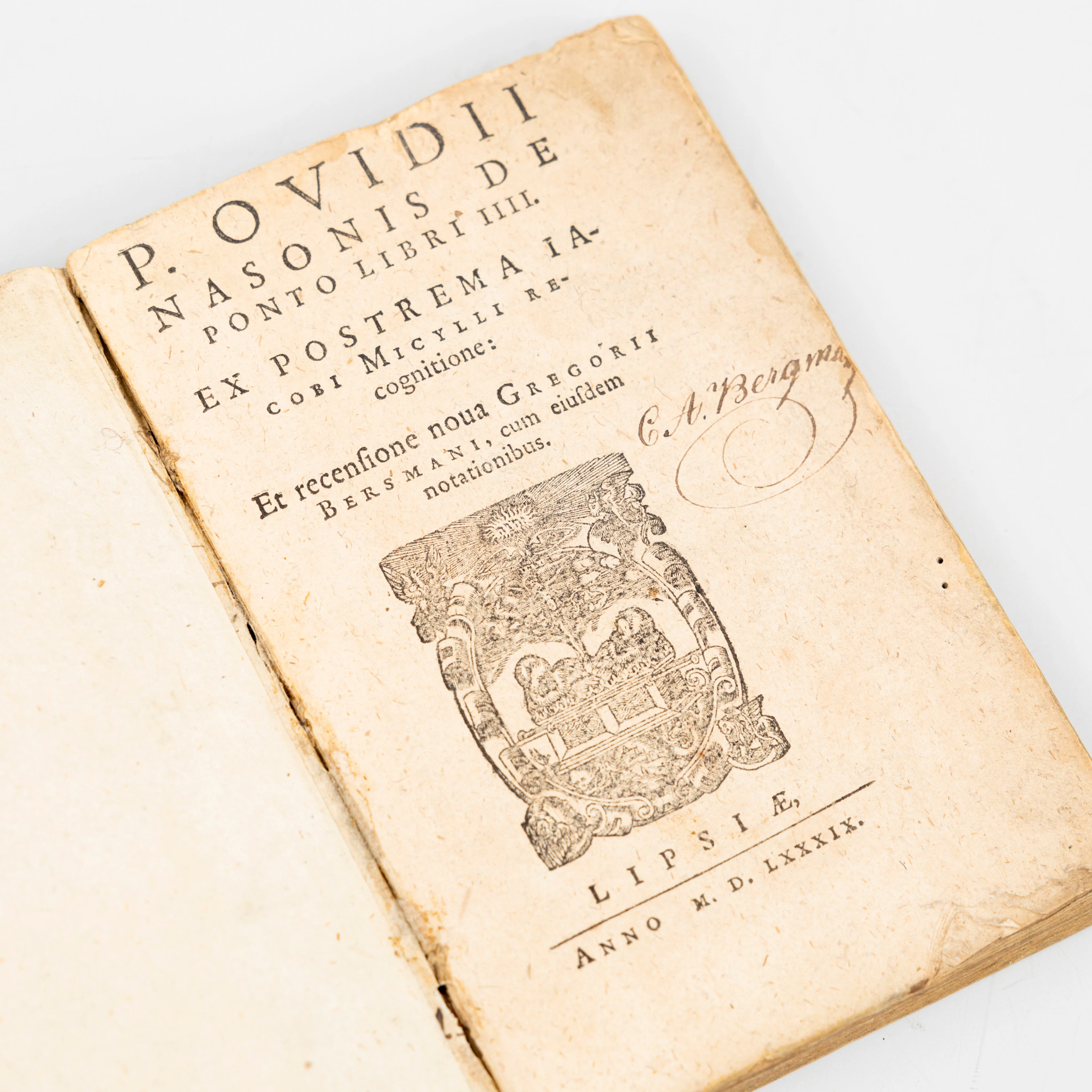
PUBLII OVIDII NASONIS. "De Ponto libri IIII", Ex postrema Iacobi Micylli
10/21/2026
€71.95
Est. : €224.7
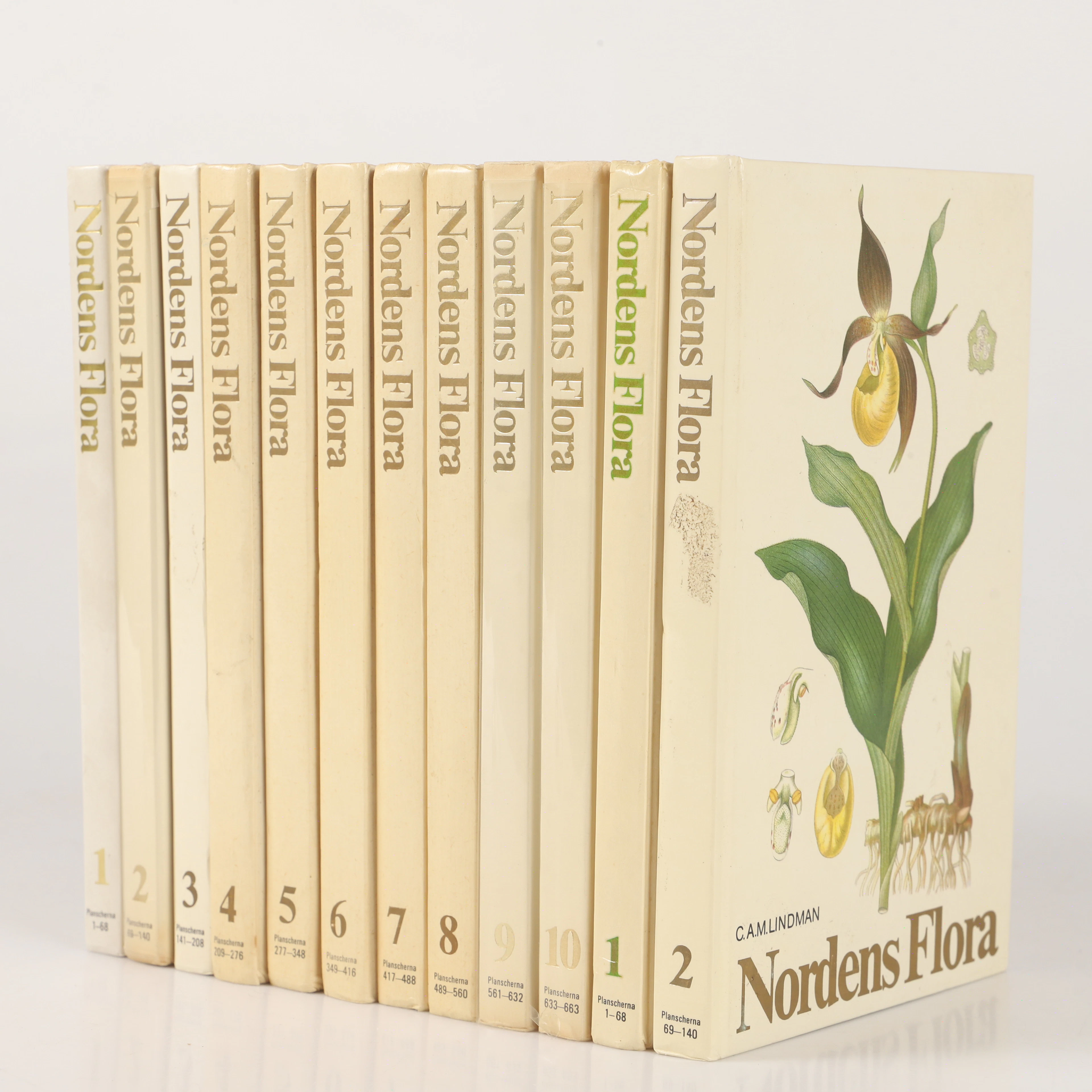




OCT 23 | 8:00 AM
Présentez votre vente aux enchères à des collectionneurs du monde entier !
Soyez référencé dès maintenantEn vous abonnant, vous acceptez la politique de confidentialité. Désabonnez-vous à tout moment.
Barnebys HQ
Brahegatan 10
BOX 5038
114 37 Stockholm
