




OCT 23 | 8:00 AM

Toutes les enchères / Livres, Cartographie & Manuscrits / Belgium - Flanders

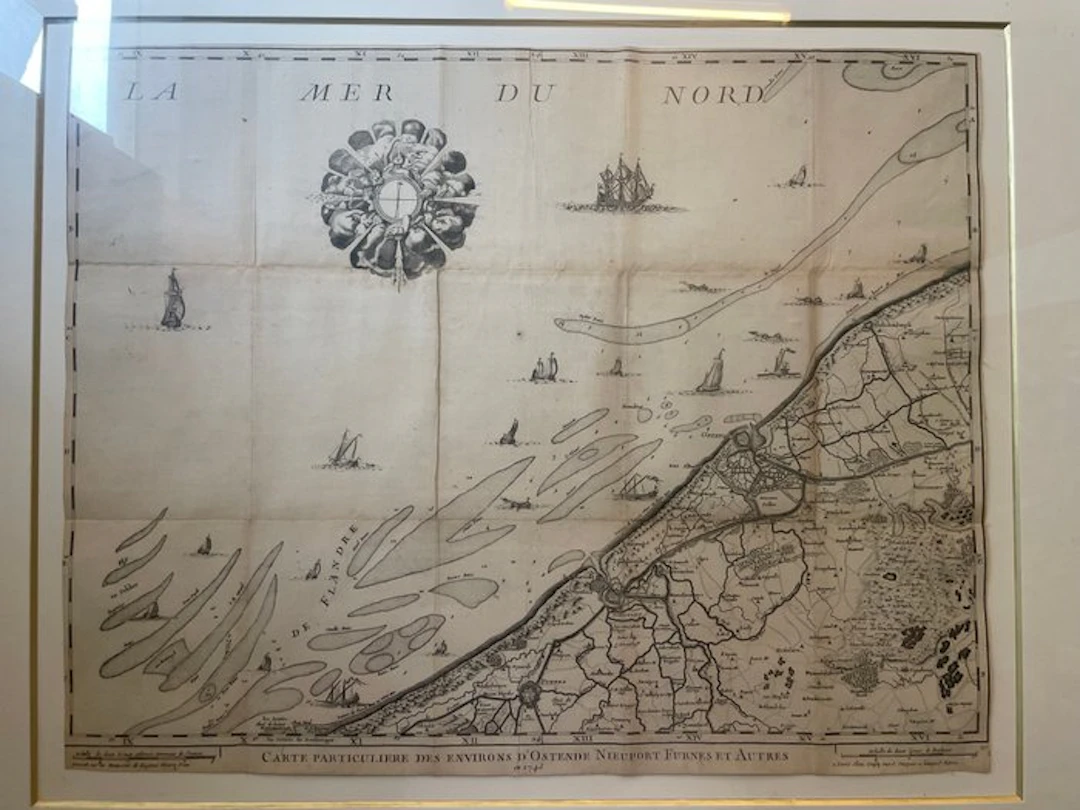
Antique French engraved map titled Carte particulière des environs d’Ostende, Nieuport, Furnes et autres, dated 1743, depicting the coastal region of Flanders from Dunkirk and Nieuport to Ostend and inland towards Bruges and Torhout. The map is richly detailed with coastal waterways, sandbanks, maritime soundings, towns, roads, fortifications and decorative sailing vessels. An attractive 18th-century cartographic document, presented in an elegant later frame. The map retains its original folds and shows expected signs of age, including light browning, foxing and minor wear, consistent with its period. A particularly interesting piece for collectors of historic maps, Flemish history and maritime cartography. Note: it is possible to get the map without the frame.
Estimation:€150
Vers la vente aux enchèresVoir tous les objets deCatawikiouLivres, Cartographie & Manuscrits
Estimation:
€150
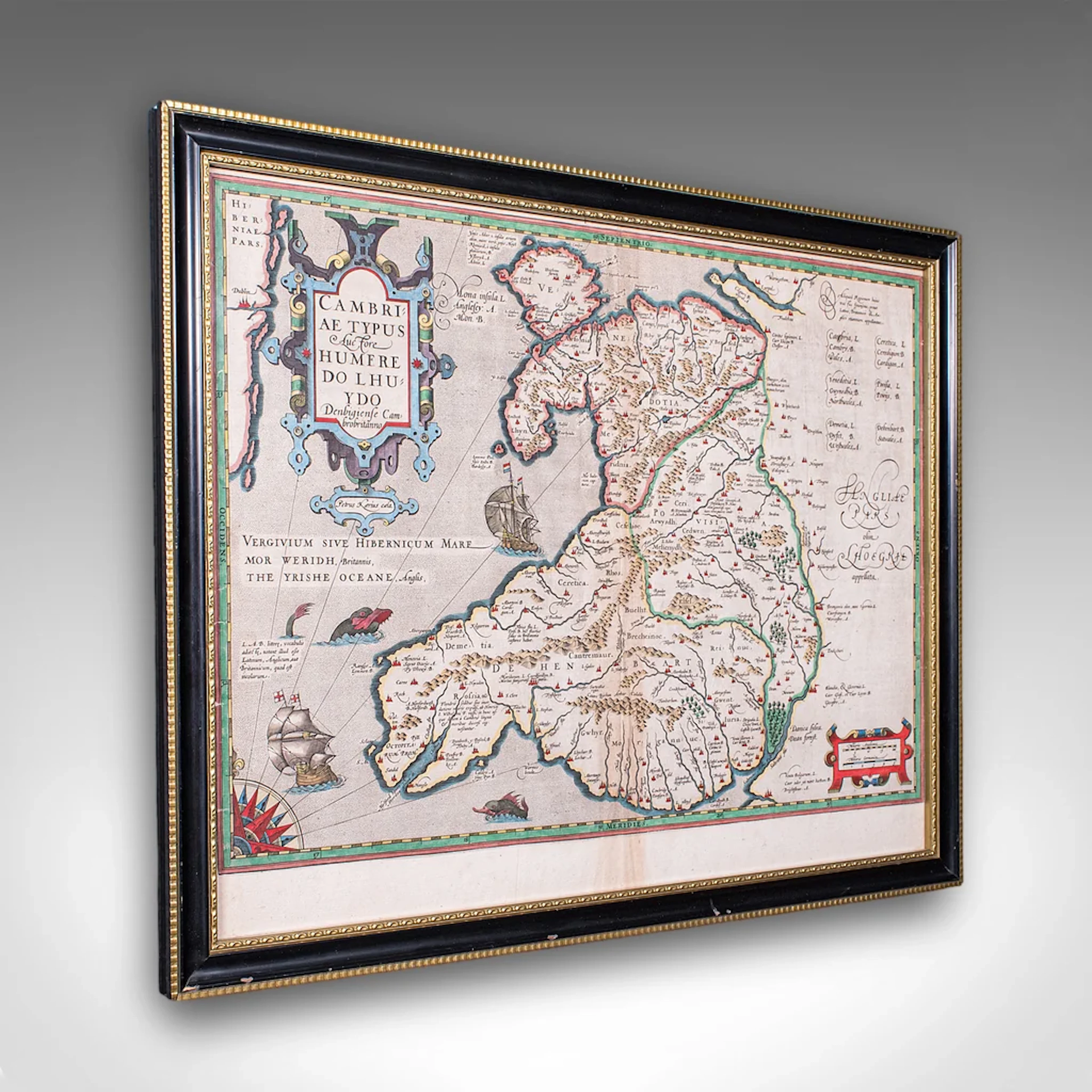
Antique Map of Wales, Belgian, Framed Atlas Excerpt, Elizabethan
€941.03
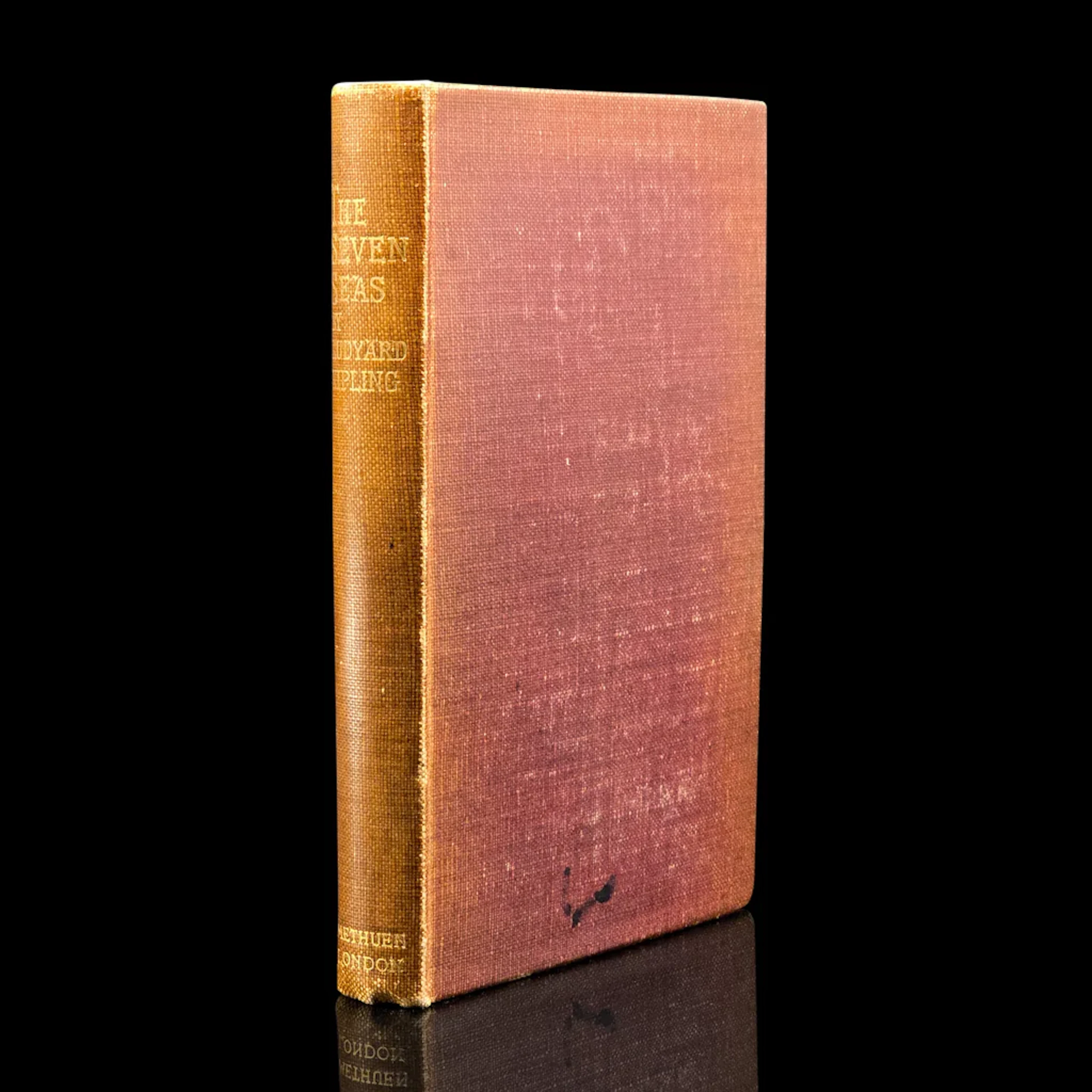
Antique Poetry Book, The Seven Seas, Rudyard Kipling, Poems, Literary Classic
€349.19
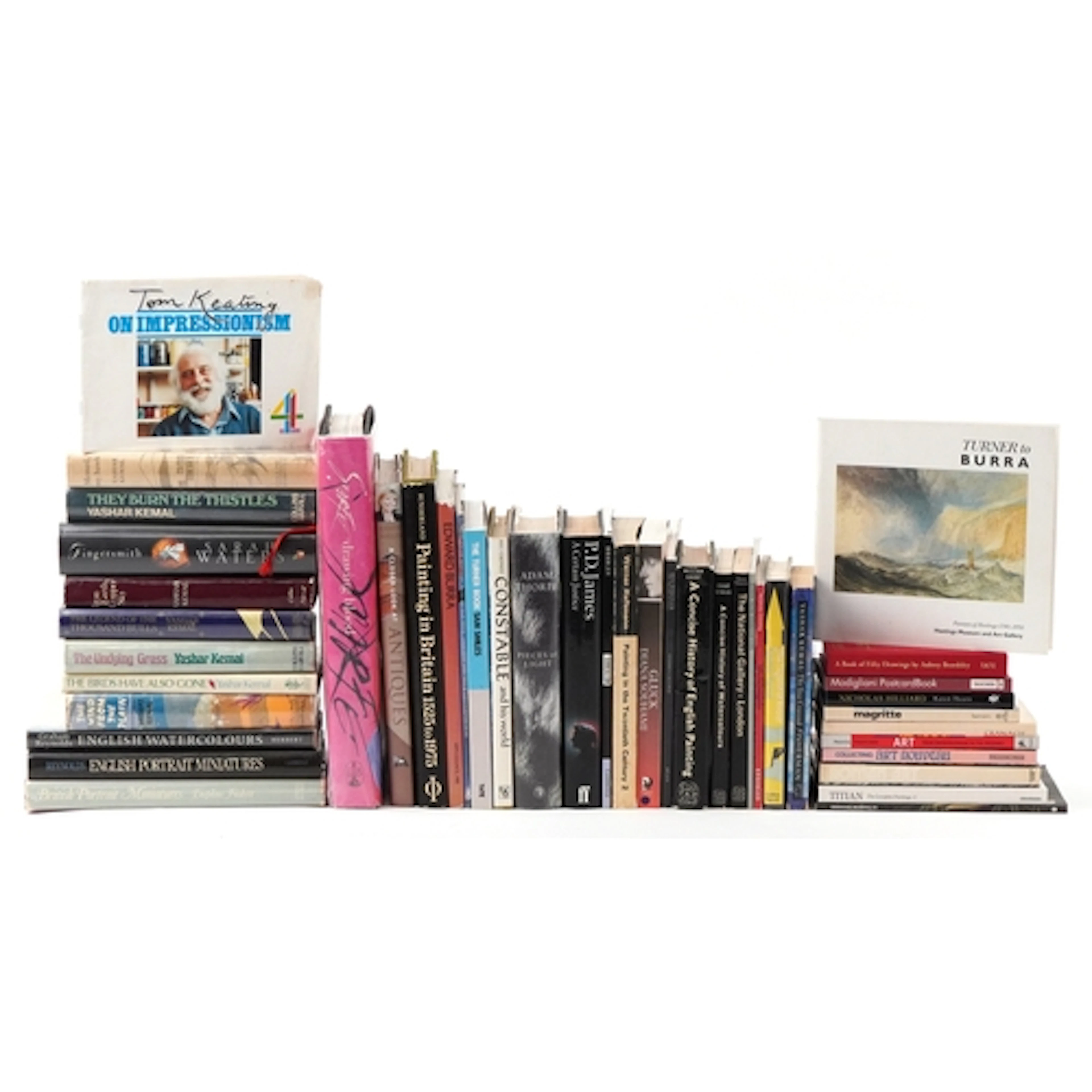
Collection of art related books including A Closer Look at A...
09/09/2026

€17.45
Est. : €34.94
OCT 23 | 8:00 AM


OCT 27 | 4:00 PM


Présentez votre vente aux enchères à des collectionneurs du monde entier !
Soyez référencé dès maintenantEn vous abonnant, vous acceptez la politique de confidentialité. Désabonnez-vous à tout moment.
Barnebys HQ
Brahegatan 10
BOX 5038
114 37 Stockholm
