






OCT 23 | 8:00 AM

Toutes les enchères / Livres, Cartographie & Manuscrits / Austria - Danube River; Unknown - - - 1601-1620

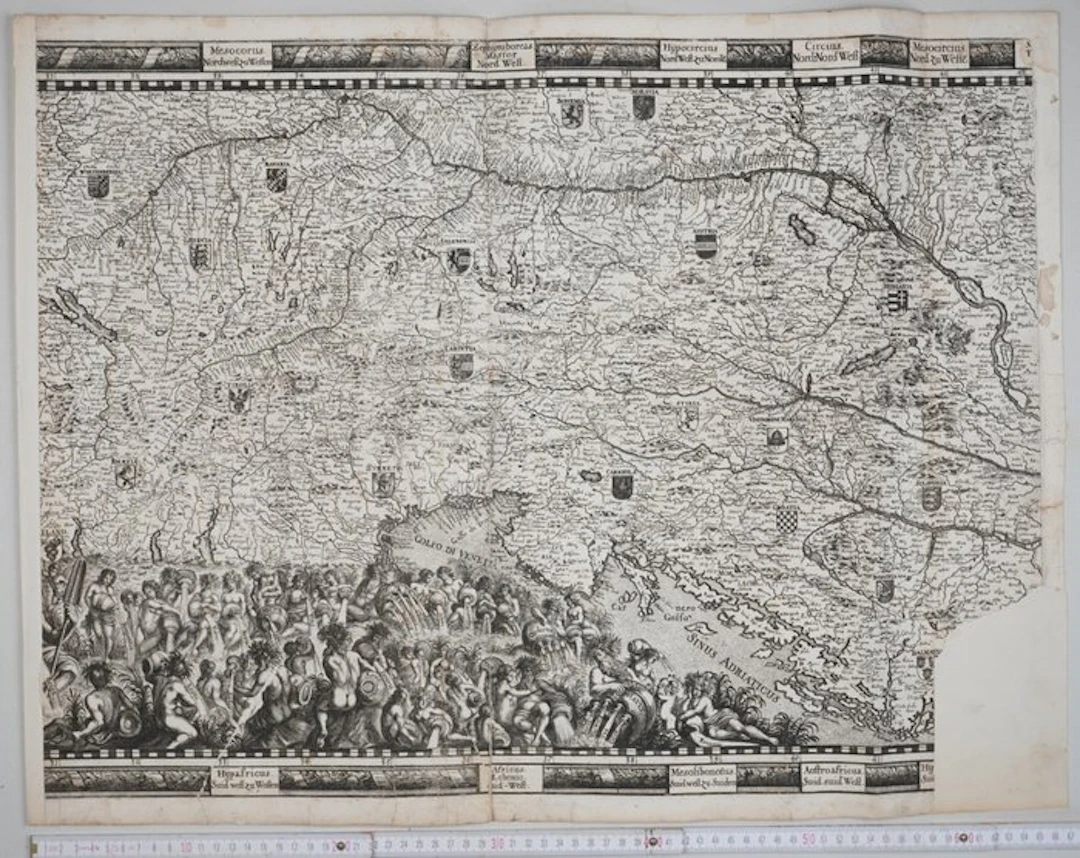
Rare copperplate map showing the course of the Danube, dating from the late 16th or early 17th century. This is the central section of a larger map; there must have been a section attached to the left and another to the right. I couldn’t identify the mapmaker, but it must be a German or Austrian mapmaker. It depicts the Central European and Alpine regions (including regions such as Bavaria, Tirolis, Stiria, Carinthia, Carniola and Hungaria , each marked with their respective coats of arms. One can also see the Adriatic Sea (Sinus Adriaticus) and the Gulf of Venice. The lower section depicts an ornate scene featuring numerous river gods and nymphs. These personifications symbolise the various headwaters and tributaries that flow into the Danube. The map is framed at the top and bottom by a border featuring Latin and German names for the wind directions (e.g. Mesocorus, Zephyroboras, Hypafricus). total image size 49 x 65 cm Condition Slightly stained. With a central fold and two further vertical folds on the right. With a backed tear in the central fold at the top and bottom and numerous other backed tears along the edges. A section is missing at the bottom right.
Estimation:€81
Vers la vente aux enchèresVoir tous les objets deCatawikiouLivres, Cartographie & Manuscrits
Estimation:
€81
![[MIRABEAU]. — Les Veillées du couvent ou Le Noviciat d'amour - Lot 2](https://bbys.imgix.net/3696/a8ea4969c8f6744f6998c71ae6a0899af0c4805781f300d5e83bdc5aabcf9275.webp?auto=format&w=3840&q=75)
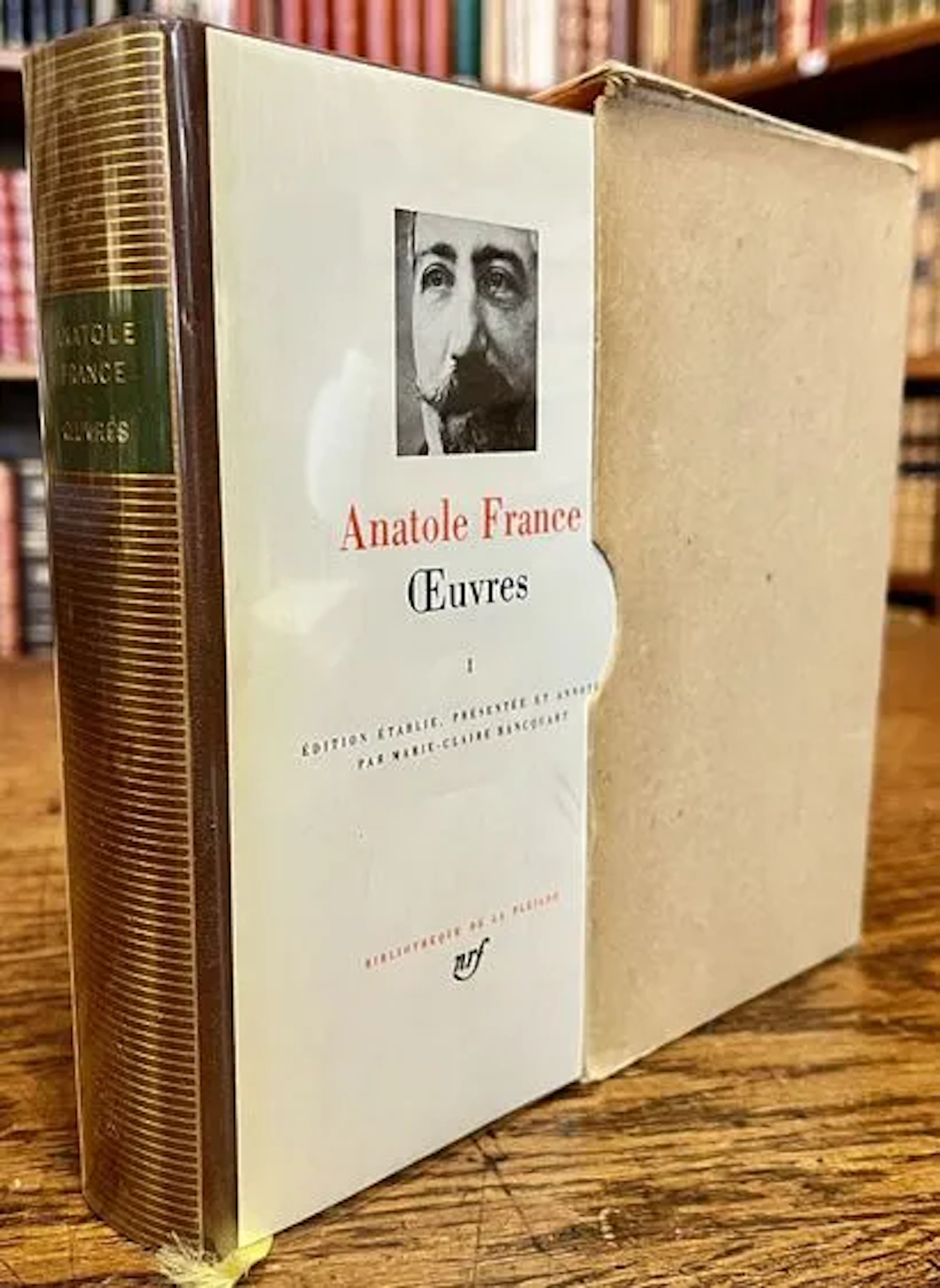
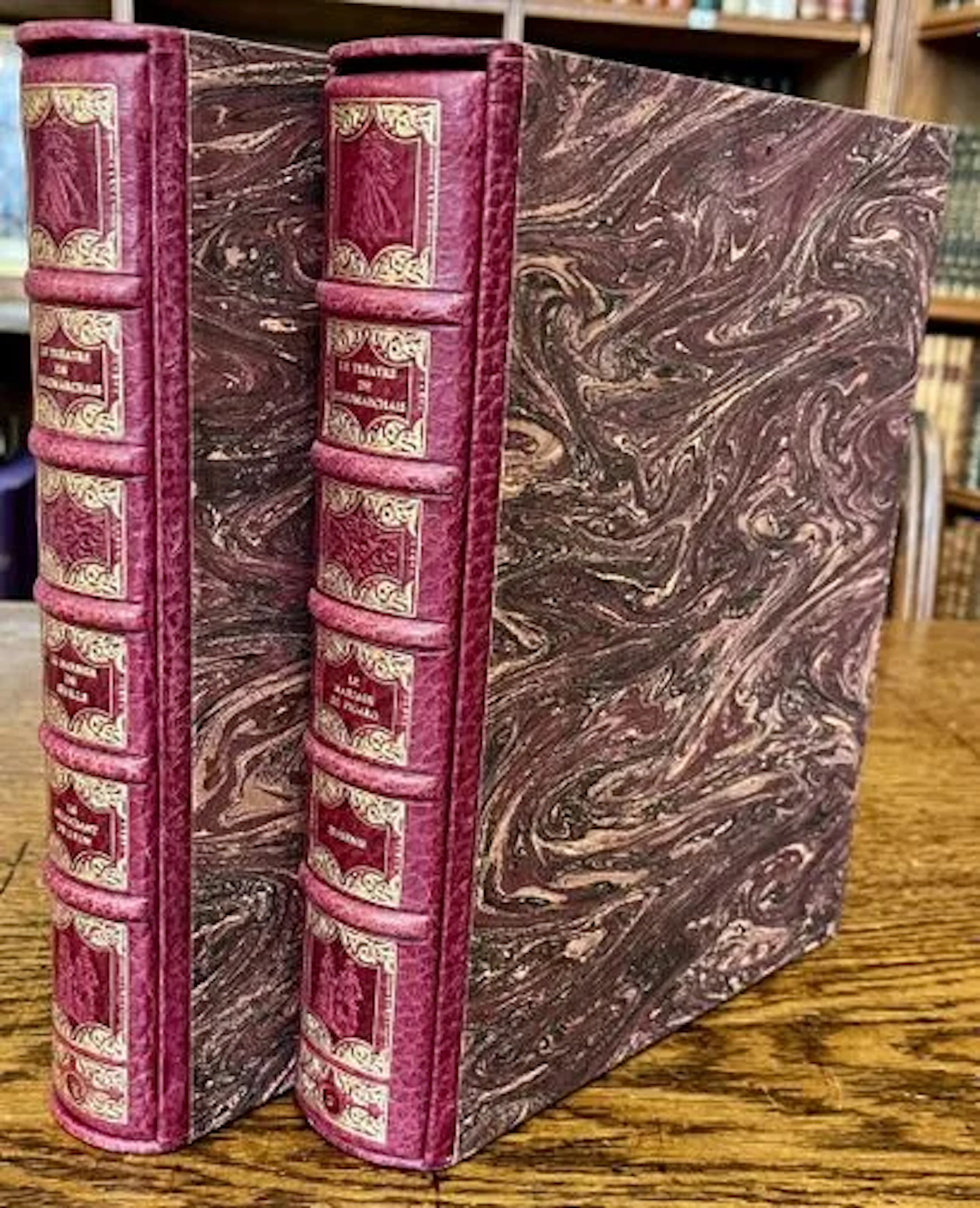
BEAUMARCHAIS — THEATER — JEAN GRADASSI — 2 OF 3 VOLUMES — 19 - Lot 28
10/11/2026

€46
Est. : €50
OCT 23 | 8:00 AM


Présentez votre vente aux enchères à des collectionneurs du monde entier !
Soyez référencé dès maintenantEn vous abonnant, vous acceptez la politique de confidentialité. Désabonnez-vous à tout moment.
Barnebys HQ
Brahegatan 10
BOX 5038
114 37 Stockholm
