







Toutes les enchères / Livres, Cartographie & Manuscrits / Antique South America Map, English, Framed Cartography, De La Rochette
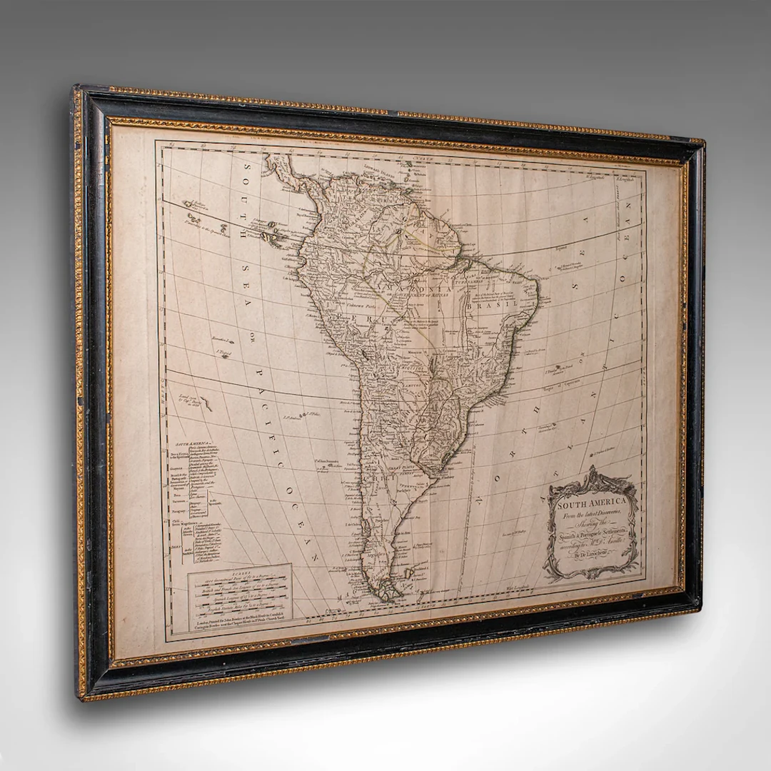
This is a superb antique map of South America. An English, framed cartographic engraving by Louis Stanislas De La Rochette, dating to the Georgian period and later, circa 1790. A fascinating example of late 18th century mapping, elegantly presented for display. A fine example of Georgian cartographic art, this antique South America map by offers a rare opportunity to appreciate both historic geography and period craftsmanship. Ideal for collectors and admirers of 18th century exploration. Delivered ready to display. Max Width: 73cm (28.75'')Max Depth: 3cm (1.25'')Max Height: 56cm (22'') Map Width: 66cm (26'')Map Height: 49cm (19.25'')
Estimation:€1,059.4
Vers la vente aux enchèresVoir tous les objets deLondon Fine AntiquesouLivres, Cartographie & Manuscrits
Estimation:
€1,059.4
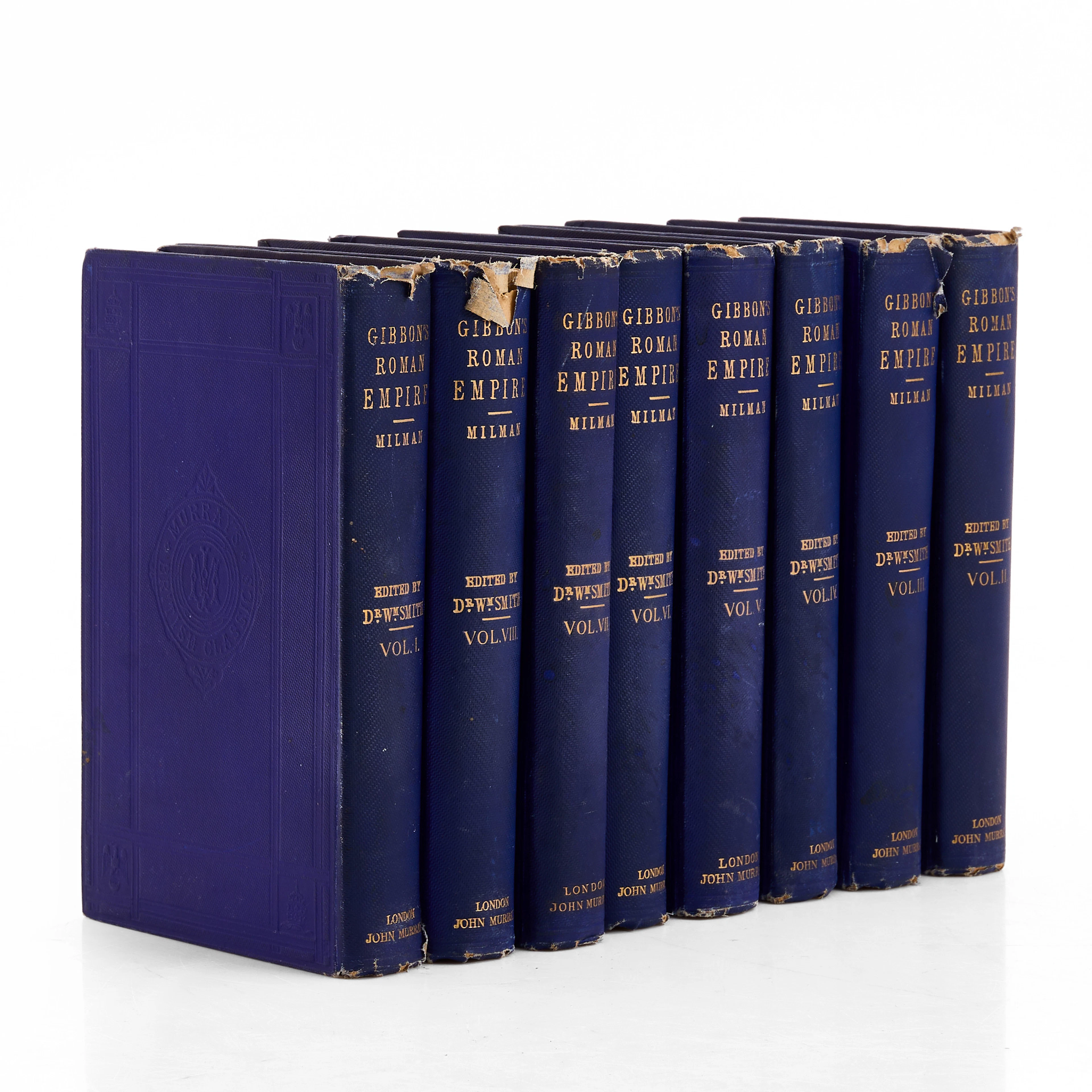

VYKORTSSAMLING - SVENSKA KUNGLIGHETER. GUSTAF V, OSCAR II M.FL. I
10/15/2026
€53.86
Est. : €89.46

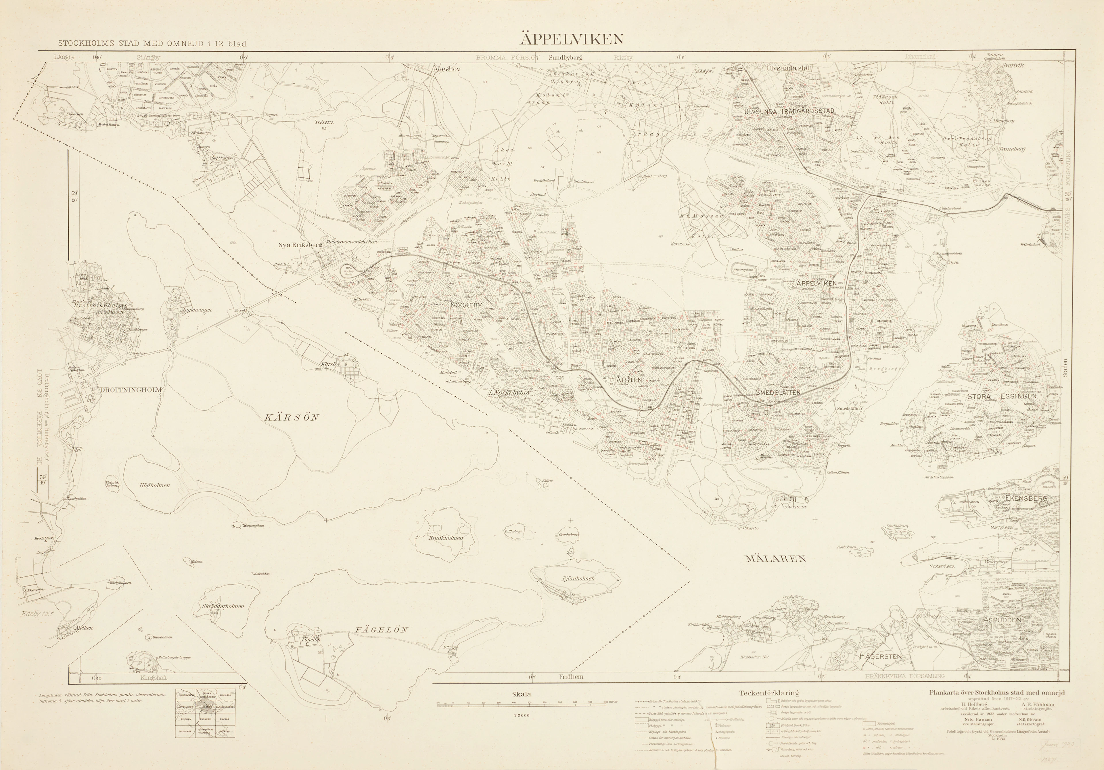
ÄPPELVIKEN, Plankarta över Stockholms Stad med omnejd, 1933, fotolitogr.
10/15/2026
€98.75
Est. : €89.46




OCT 23 | 8:00 AM
Présentez votre vente aux enchères à des collectionneurs du monde entier !
Soyez référencé dès maintenantEn vous abonnant, vous acceptez la politique de confidentialité. Désabonnez-vous à tout moment.
Barnebys HQ
Brahegatan 10
BOX 5038
114 37 Stockholm
