





Toutes les enchères / Livres, Cartographie & Manuscrits / Antique Somerset Map, Thomas Kitchin, English, Cartographic Reference, Georgian
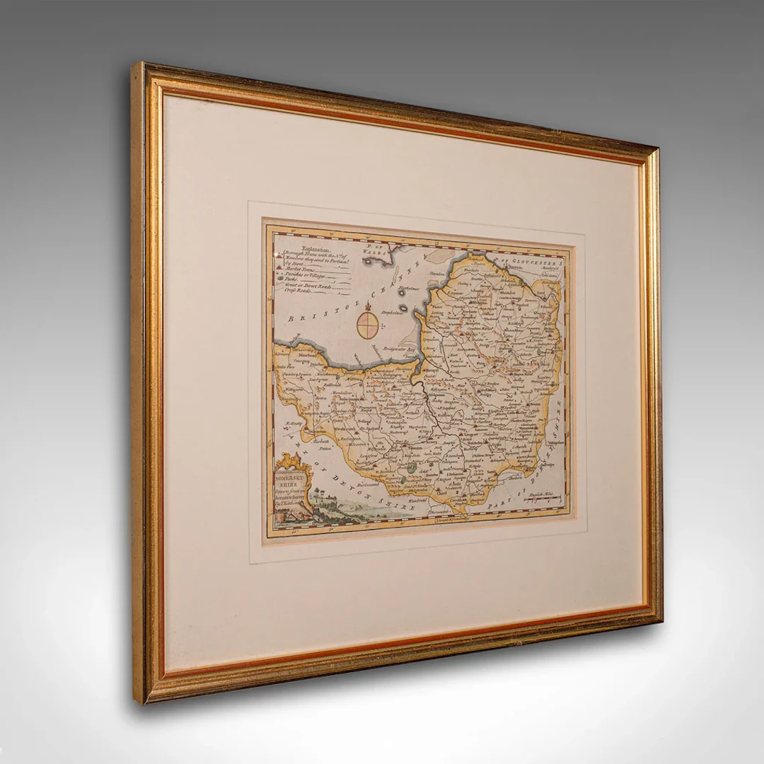
This is a fine antique Somerset map. An 18th century English cartographic county reference engraving by Thomas Kitchin (1718–1784), dating to the Georgian period, circa 1780. A beautifully detailed piece of cartographic history, offering charm and educational value in equal measure. This elegant antique county map of Somerset is a superb decorative and educational piece, showcasing Thomas Kitchin’s masterful cartography. Ready to grace the wall of a study, hallway or heritage-inspired living space. Delivered ready for the home. Max Width: 41.5cm (16.25'')Max Depth: 1.5cm (.5'')Max Height: 35cm (13.75'') Map Width: 25.5cm (10'')Map Height: 19cm (7.5'')
Estimation:€585.92
Vers la vente aux enchèresVoir tous les objets deLondon Fine AntiquesouLivres, Cartographie & Manuscrits
Estimation:
€585.92
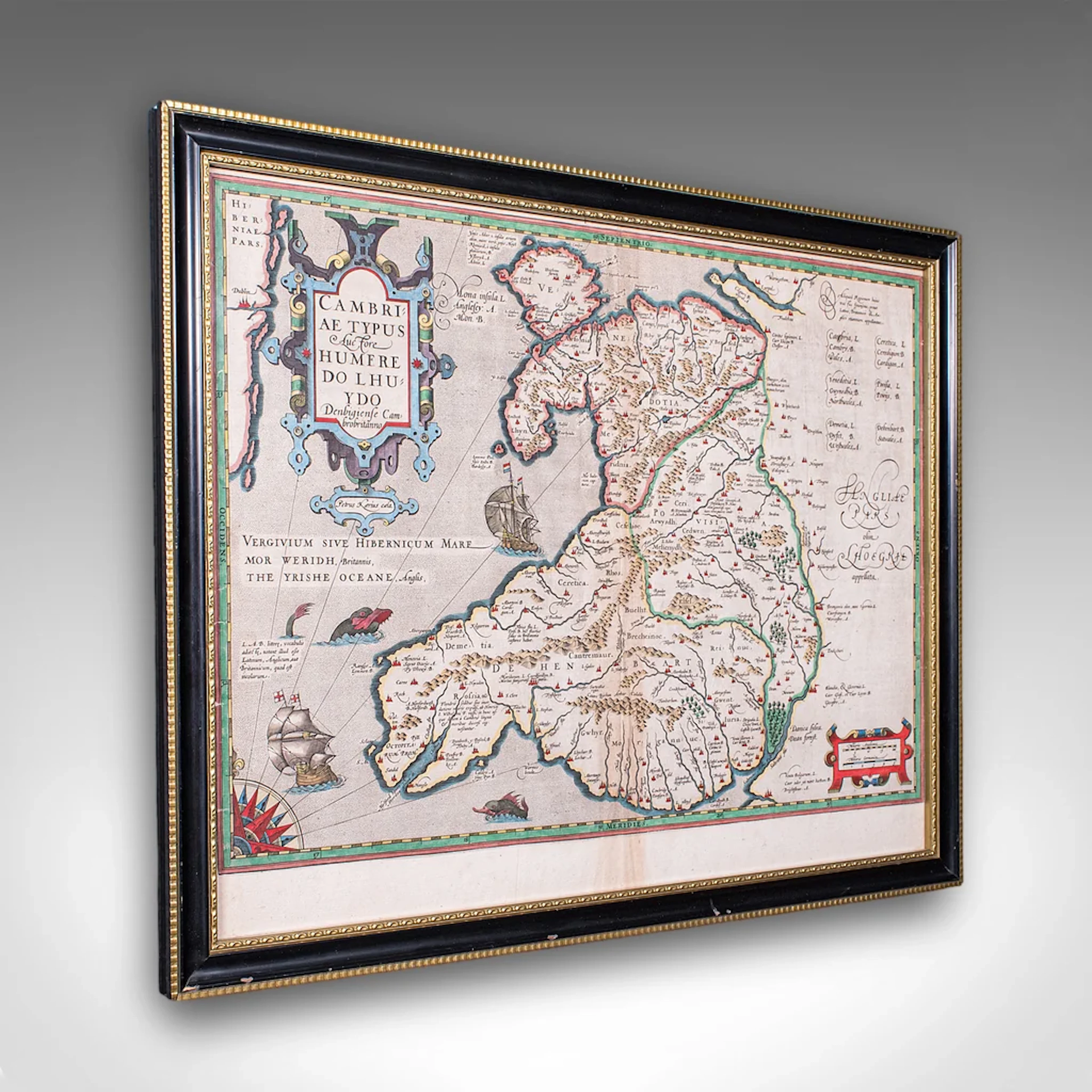
Antique Map of Wales, Belgian, Framed Atlas Excerpt, Elizabethan
€941.03
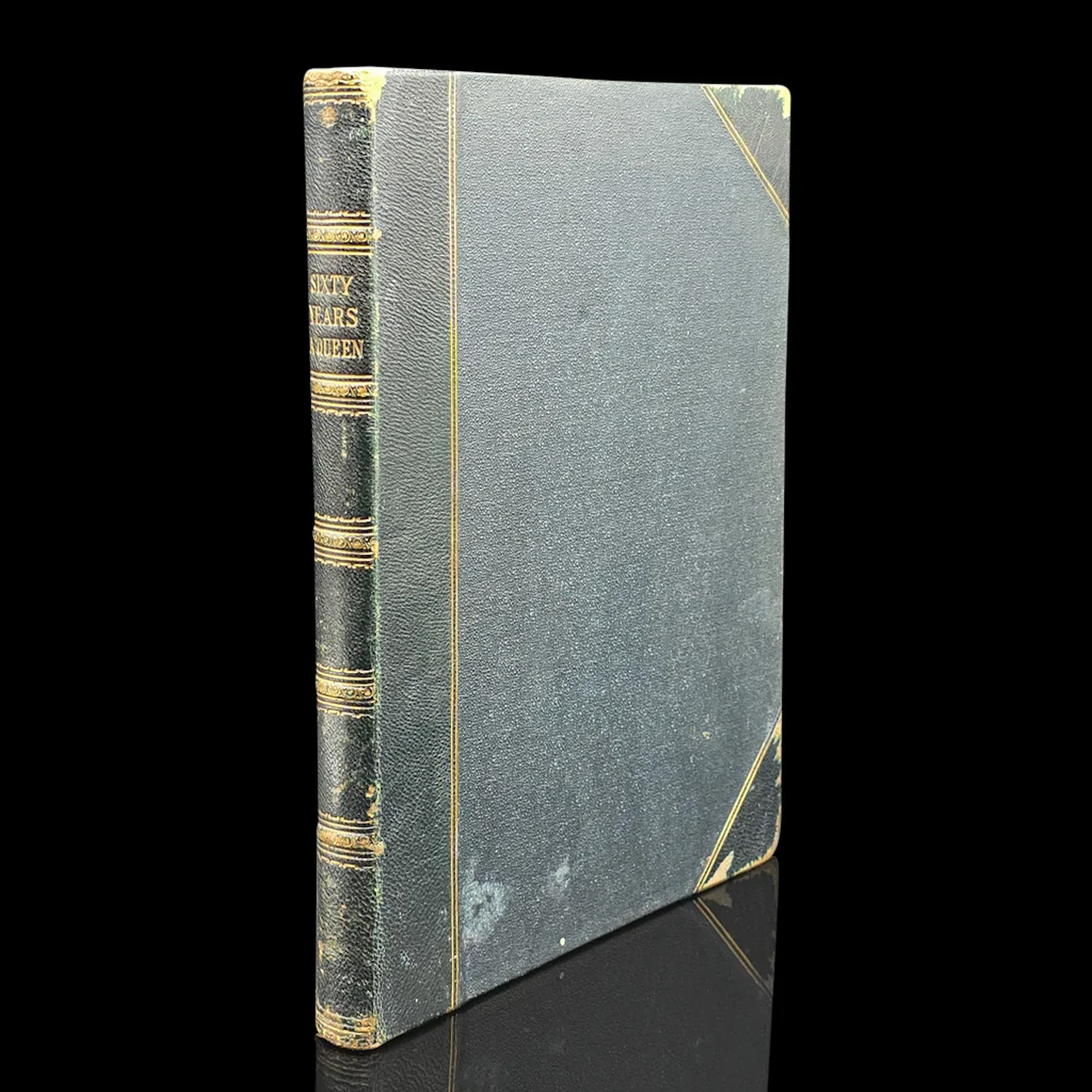
Antique Royal Book, Sixty Years a Queen, History Reference, Hardcover
€349.19

Collection of art related books including A Closer Look at A...
09/09/2026

€17.45
Est. : €34.94




OCT 23 | 8:00 AM
Présentez votre vente aux enchères à des collectionneurs du monde entier !
Soyez référencé dès maintenantEn vous abonnant, vous acceptez la politique de confidentialité. Désabonnez-vous à tout moment.
Barnebys HQ
Brahegatan 10
BOX 5038
114 37 Stockholm
