







Toutes les enchères / Livres, Cartographie & Manuscrits / Antique Gloucestershire Map, Atlas, English, Robert Morden, Cartography, C.1700
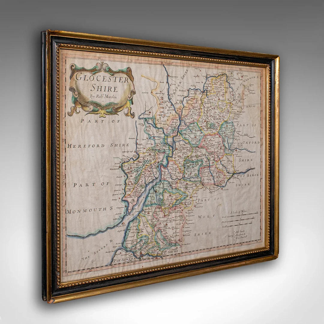
This is an antique county map of Gloucestershire with atlas folio. An English, framed engraving of cartographic interest By Robert Morden, dating to the late 17th century and later. This is a quality antique county map of Gloucestershire, with fine cartographic interest and enhanced with an atlas excerpt providing further historical context. A treat for display or a collector. Delivered ready to display. Max Width: 47.5cm (18.75'')Max Depth: 3.5cm (1.5'')Max Height: 41cm (16.25'') Map Width: 41cm (16.25'')Map Height: 34.5cm (13.5'')
Estimation:€1,651.25
Vers la vente aux enchèresVoir tous les objets deLondon Fine AntiquesouLivres, Cartographie & Manuscrits
Estimation:
€1,651.25
1 bt. Champagne Dom Pérignon, Moët et Chandon 2013 A (hf/in). Oc.
10/15/2026

€160.51
Est. : €187.18
1 bt. Champagne "Cristal", Louis Roederer 2016 A (hf/in). Oc. – Bruun
10/15/2026
€187.26
Est. : €187.18
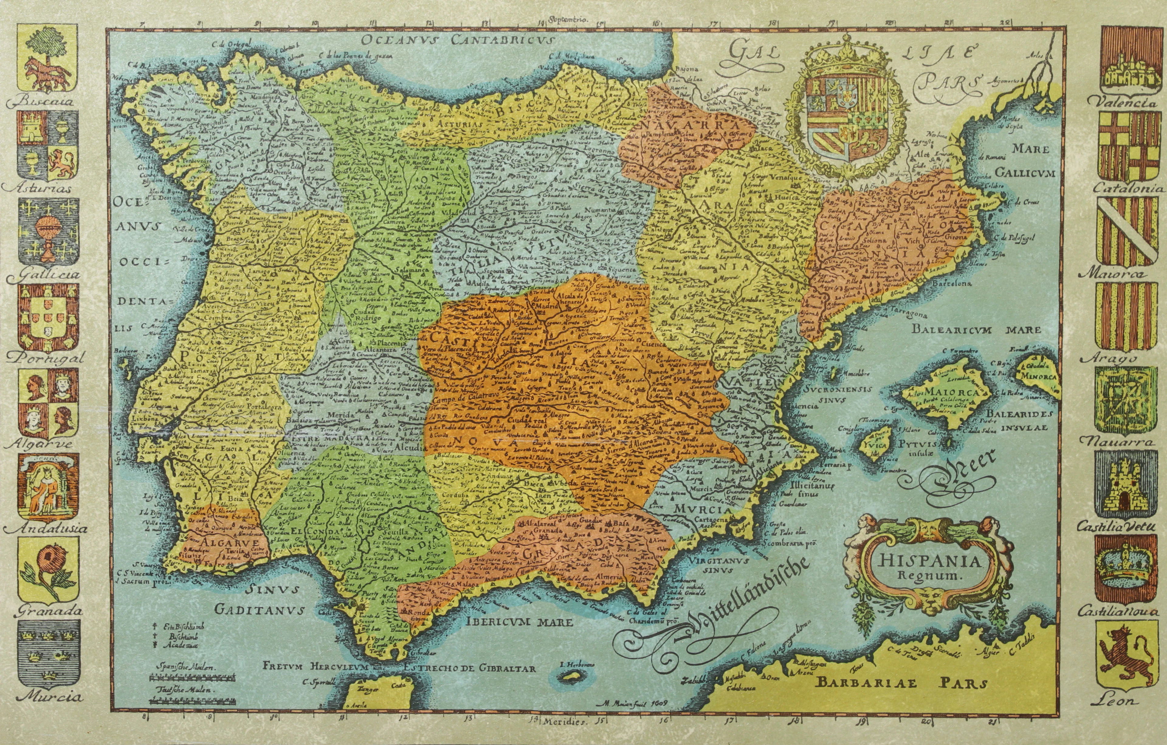
KARTA, Spanien, inramad, 1900-talets andra hälft.
10/14/2026
€26.88
Est. : €44.79
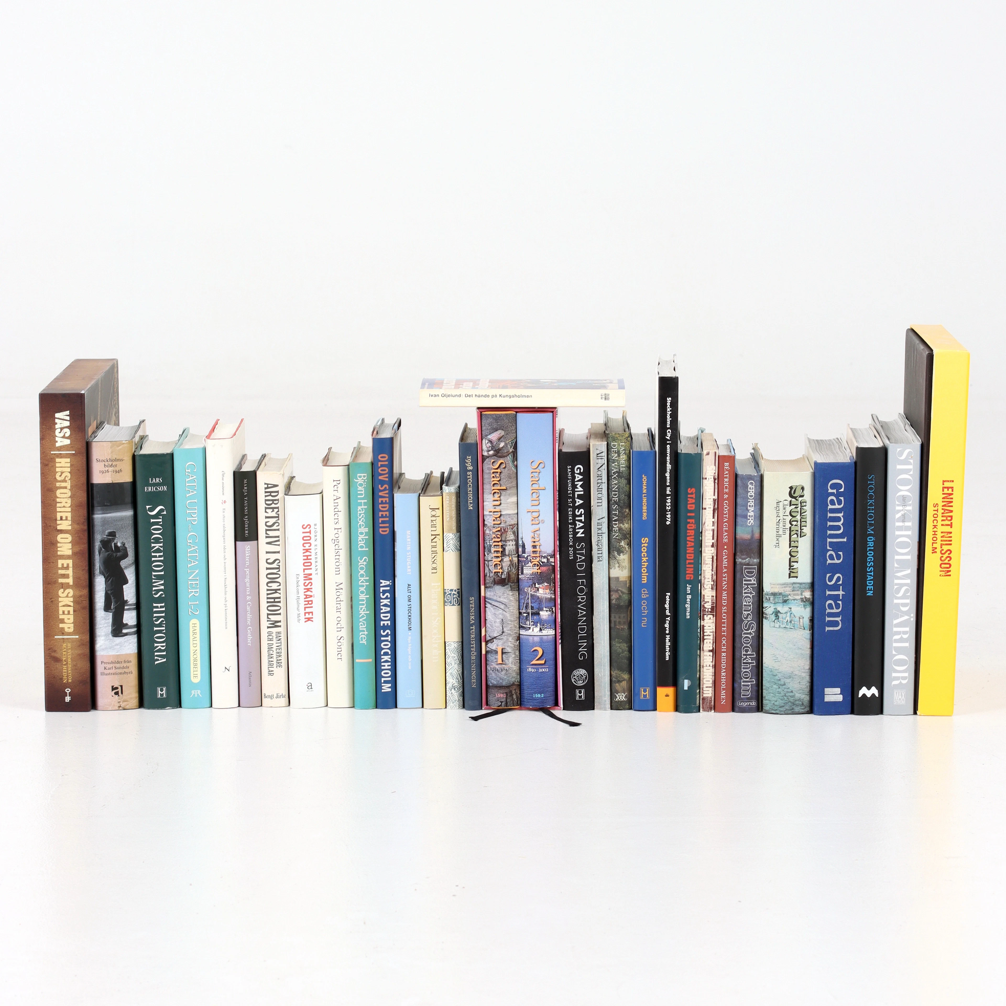
BÖCKER om STOCKHOLM, 31 st, 1900-talets senare del.
10/14/2026
€47.04
Est. : €53.74




OCT 23 | 8:00 AM
Présentez votre vente aux enchères à des collectionneurs du monde entier !
Soyez référencé dès maintenantEn vous abonnant, vous acceptez la politique de confidentialité. Désabonnez-vous à tout moment.
Barnebys HQ
Brahegatan 10
BOX 5038
114 37 Stockholm
