








Toutes les enchères / Livres, Cartographie & Manuscrits / Antique County Map, Buckinghamshire, Bedfordshire, Dutch, Framed, Janssonius
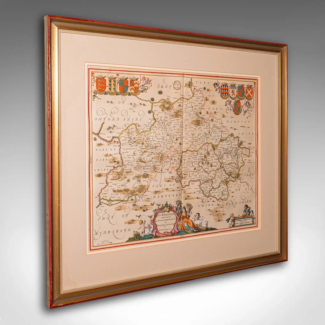
This is an antique county map of Buckinghamshire and Bedfordshire. A Dutch, framed atlas engraving by Johannes Janssonius, dating to the 17th century and later. This is a fascinating antique county map of Buckinghamshire and Bedfordshire, with superb detail and 17th century cartographic interest. Delivered ready to display. Max Width: 70.5cm (27.75'')Max Depth: 2cm (.75'')Max Height: 61cm (24'') Map Width: 51cm (20'')Map Height: 40.5cm (16'')
Estimation:€941.03
Vers la vente aux enchèresVoir tous les objets deLondon Fine AntiquesouLivres, Cartographie & Manuscrits
Estimation:
€941.03
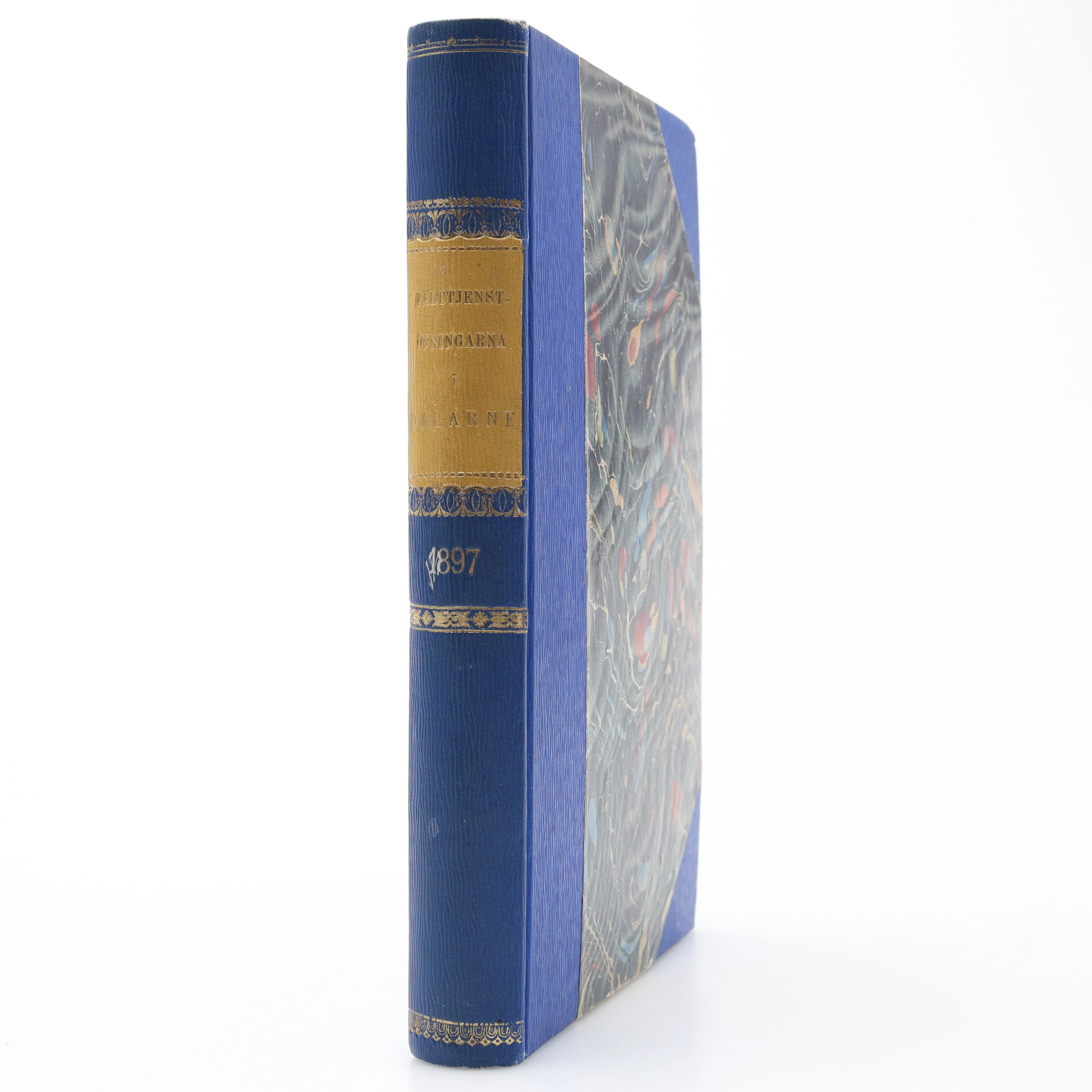
MILITARIA. GENERALSTABENS BERÄTTELSE OM FÄLTTJENSTÖFNINGARNA I DALARNE
10/17/2026
€26.96
Est. : €31.24
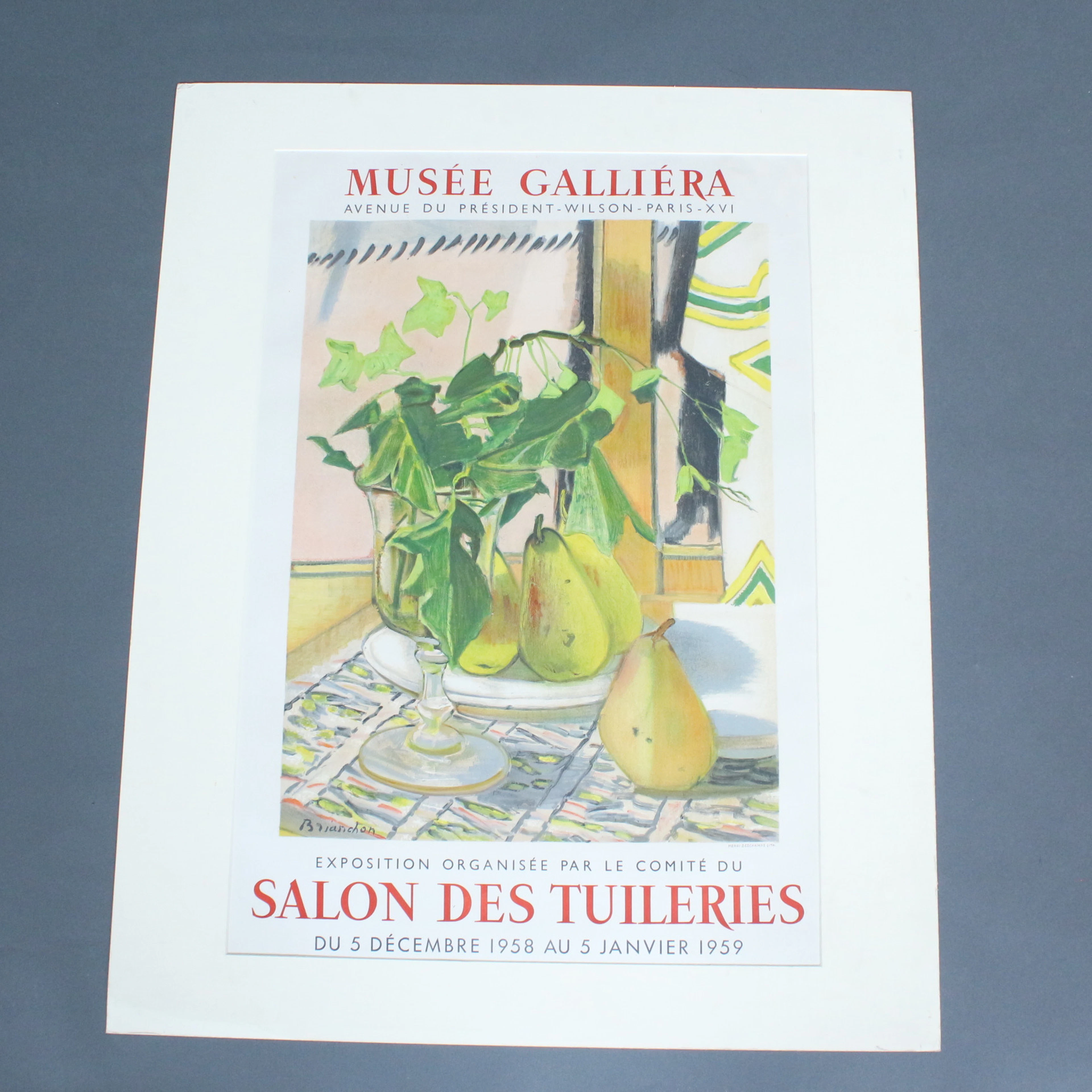
Plakat, Musee Galliera, '' Salon Des Tuileries.
10/17/2026
€50
Est. : €80
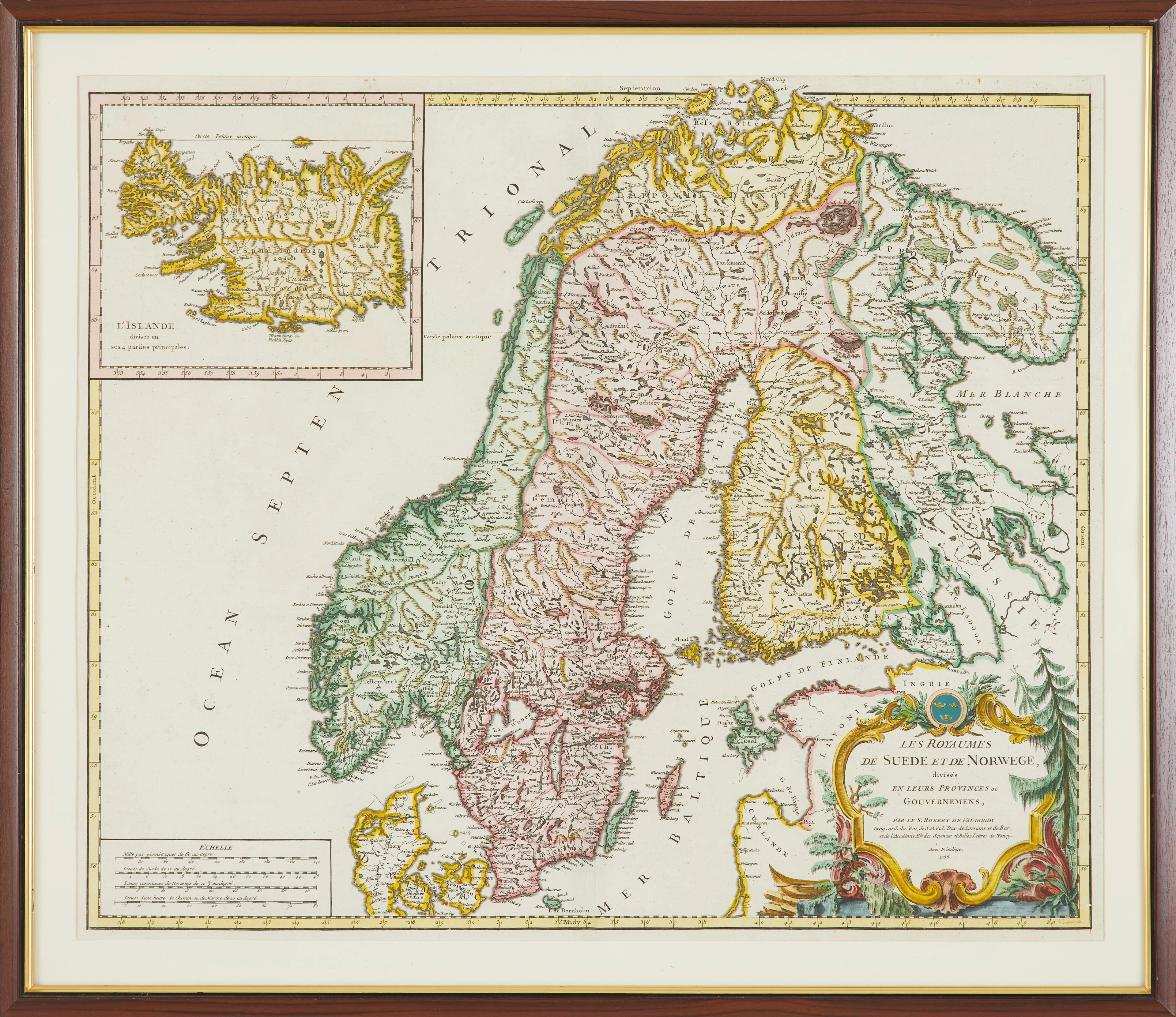
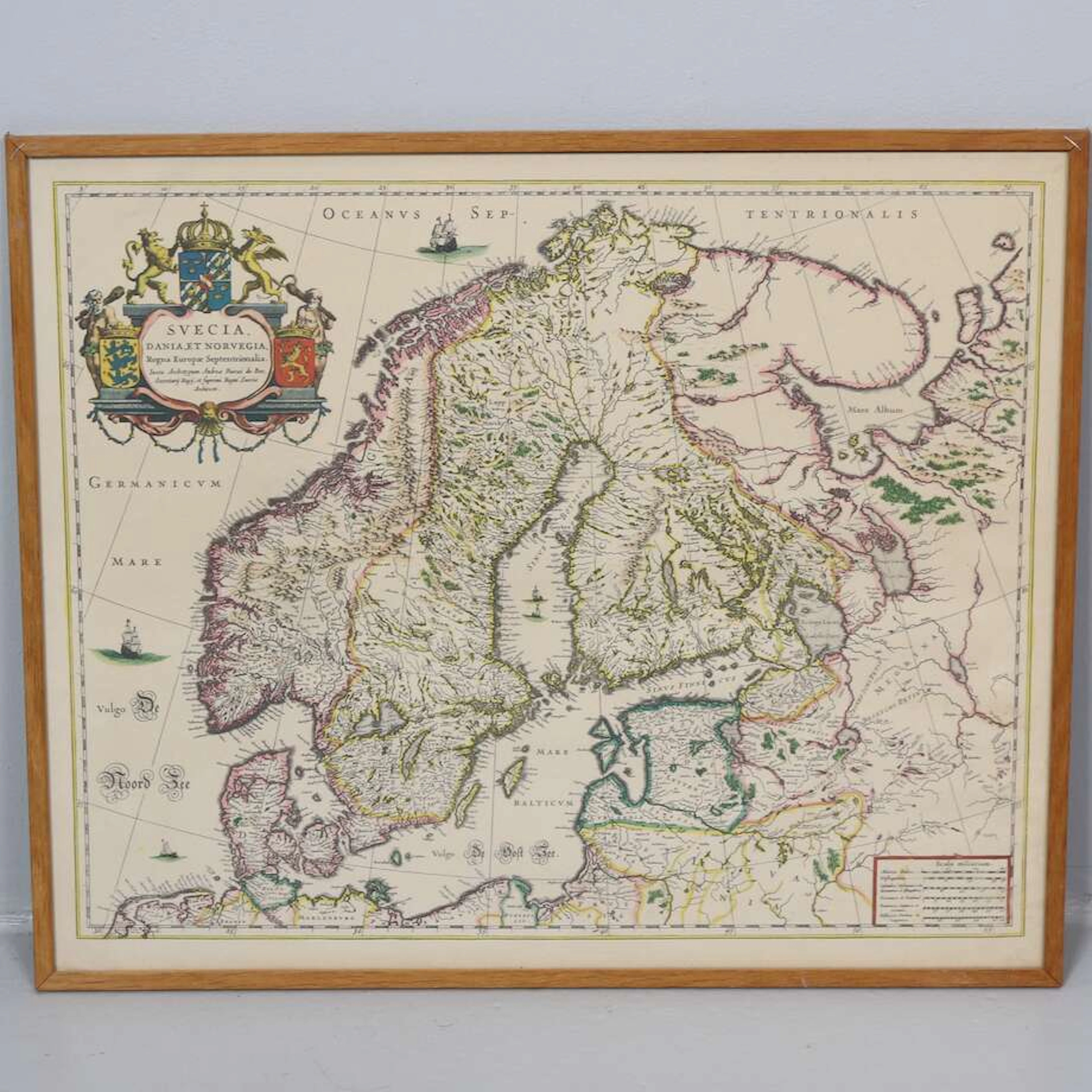
KARTA, " Les Royaumes De Sued Et De Norwege" av Gilles Robert De Vaugondy
10/17/2026
€89.85
Est. : €178.51




OCT 23 | 8:00 AM
Présentez votre vente aux enchères à des collectionneurs du monde entier !
Soyez référencé dès maintenantEn vous abonnant, vous acceptez la politique de confidentialité. Désabonnez-vous à tout moment.
Barnebys HQ
Brahegatan 10
BOX 5038
114 37 Stockholm
